March 2019
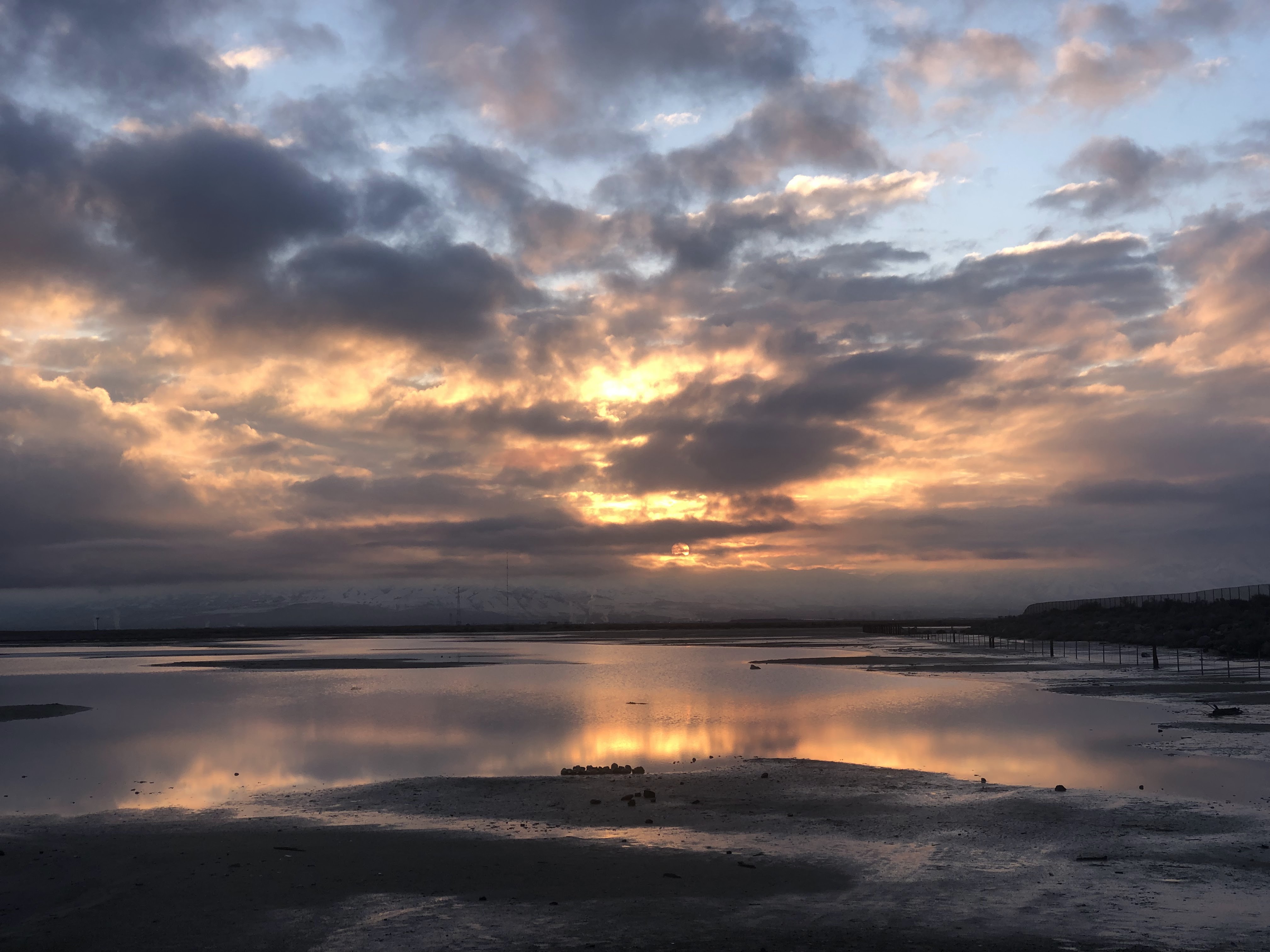
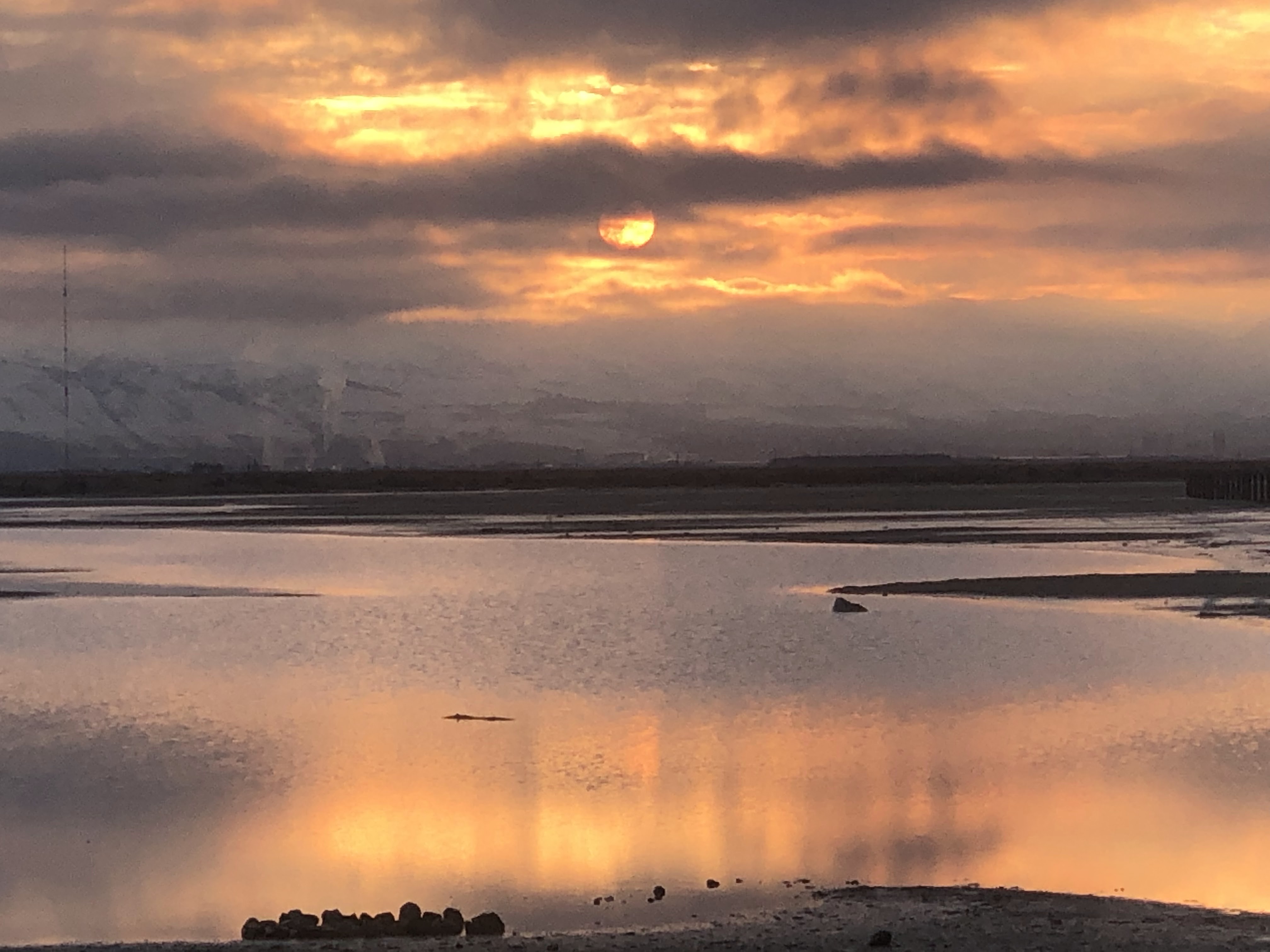
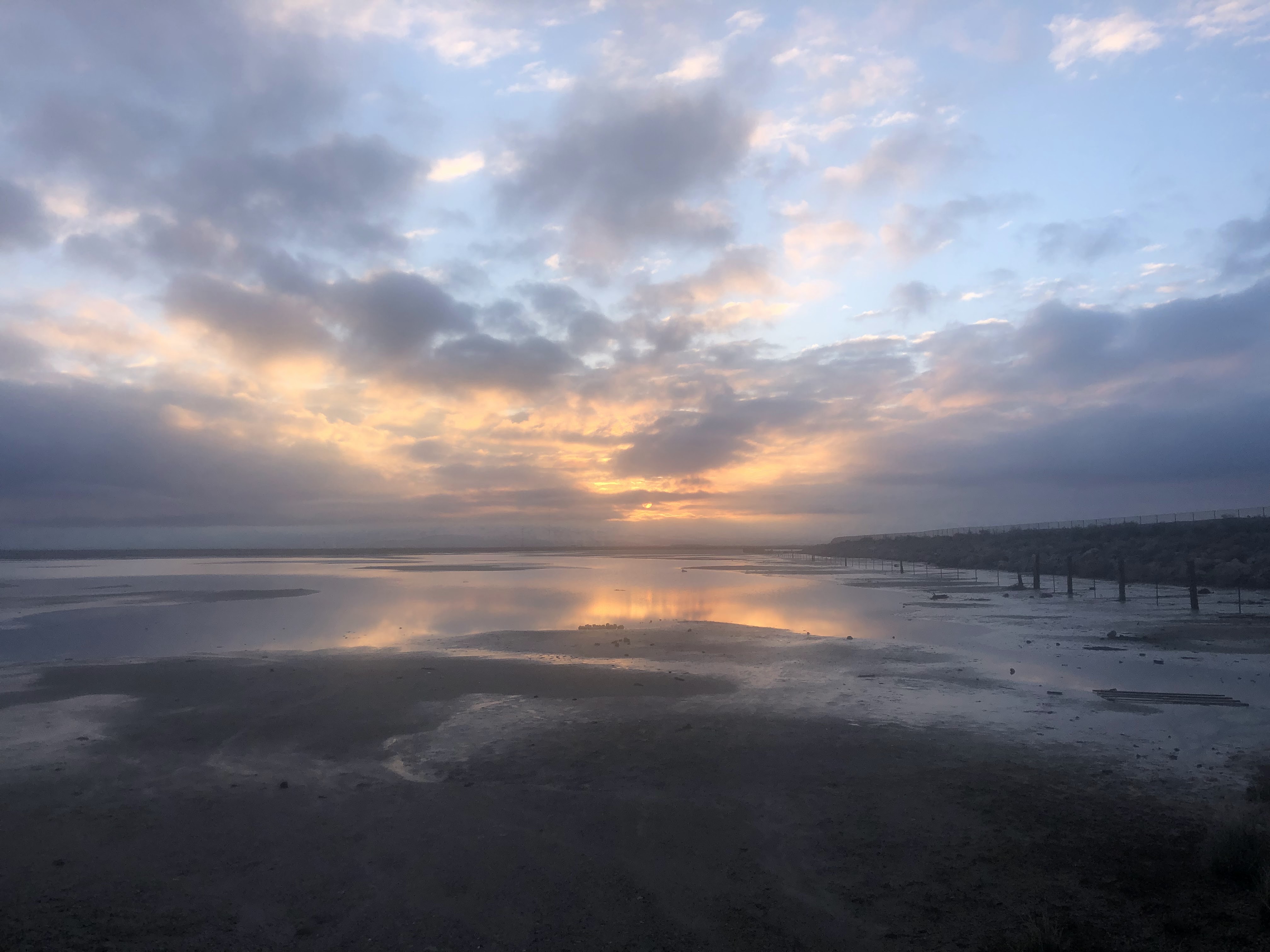
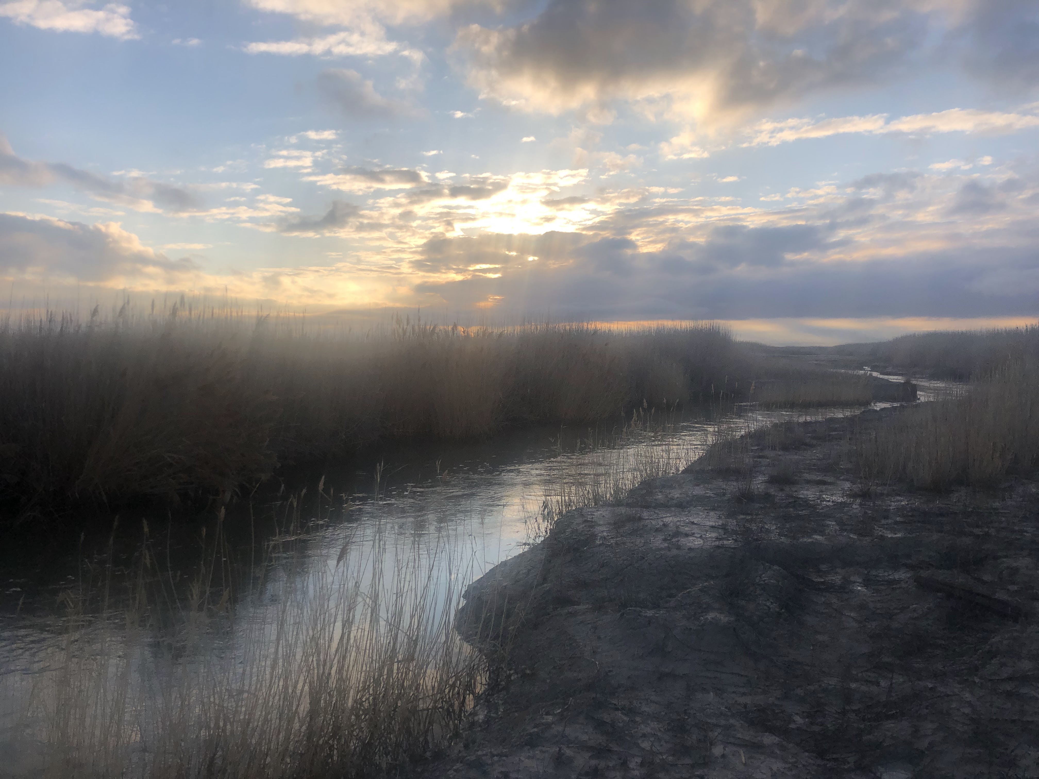
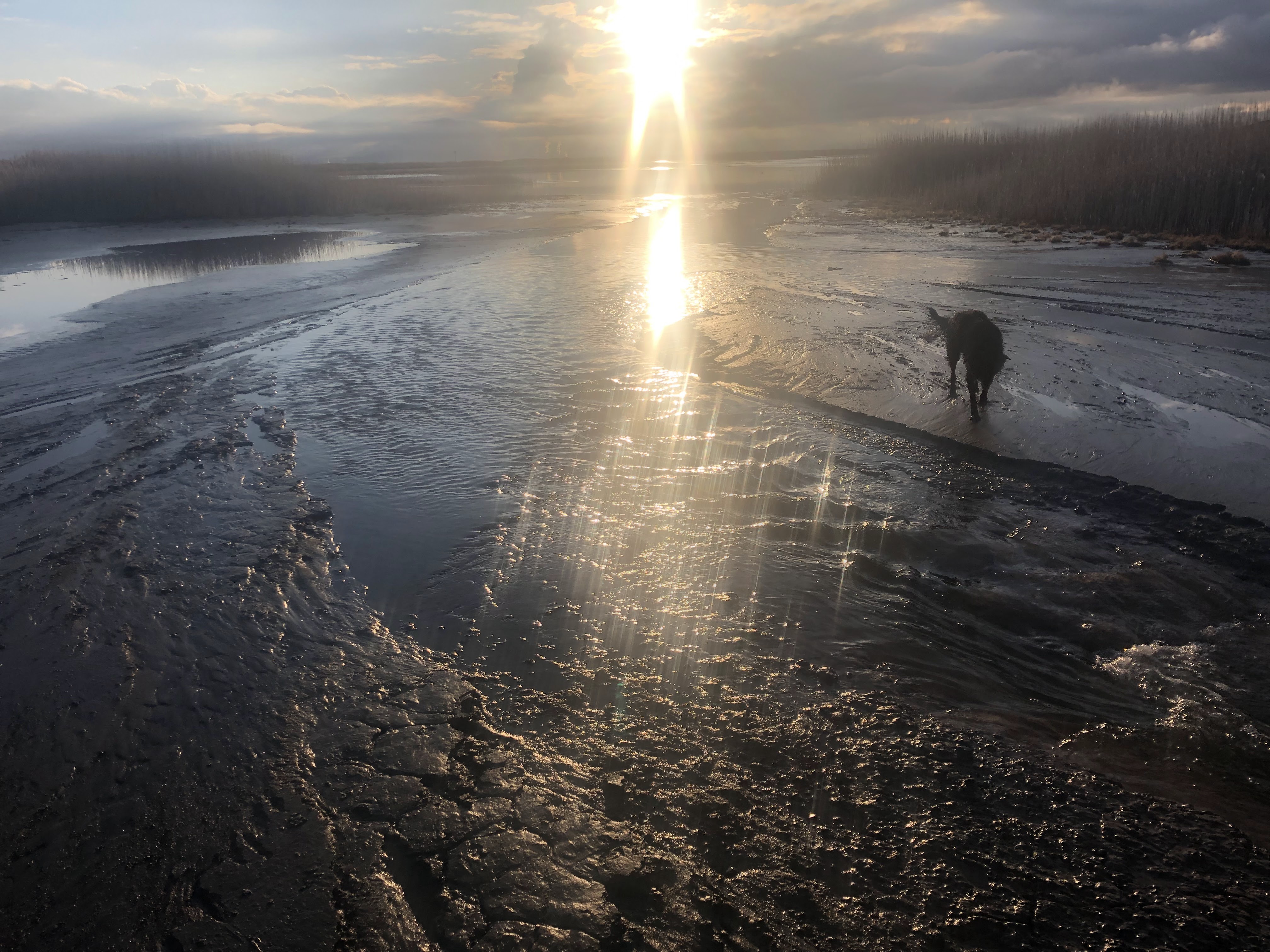
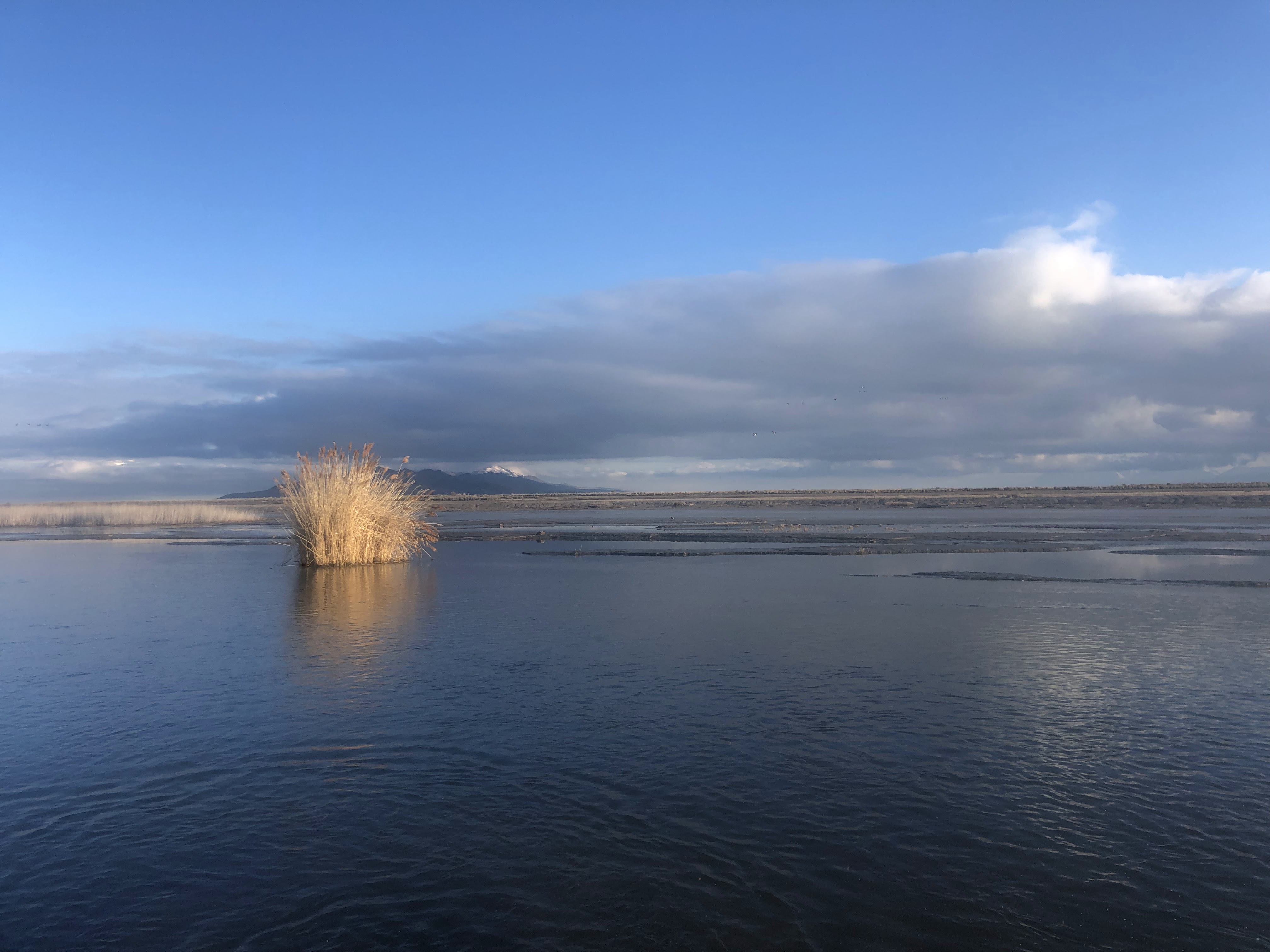
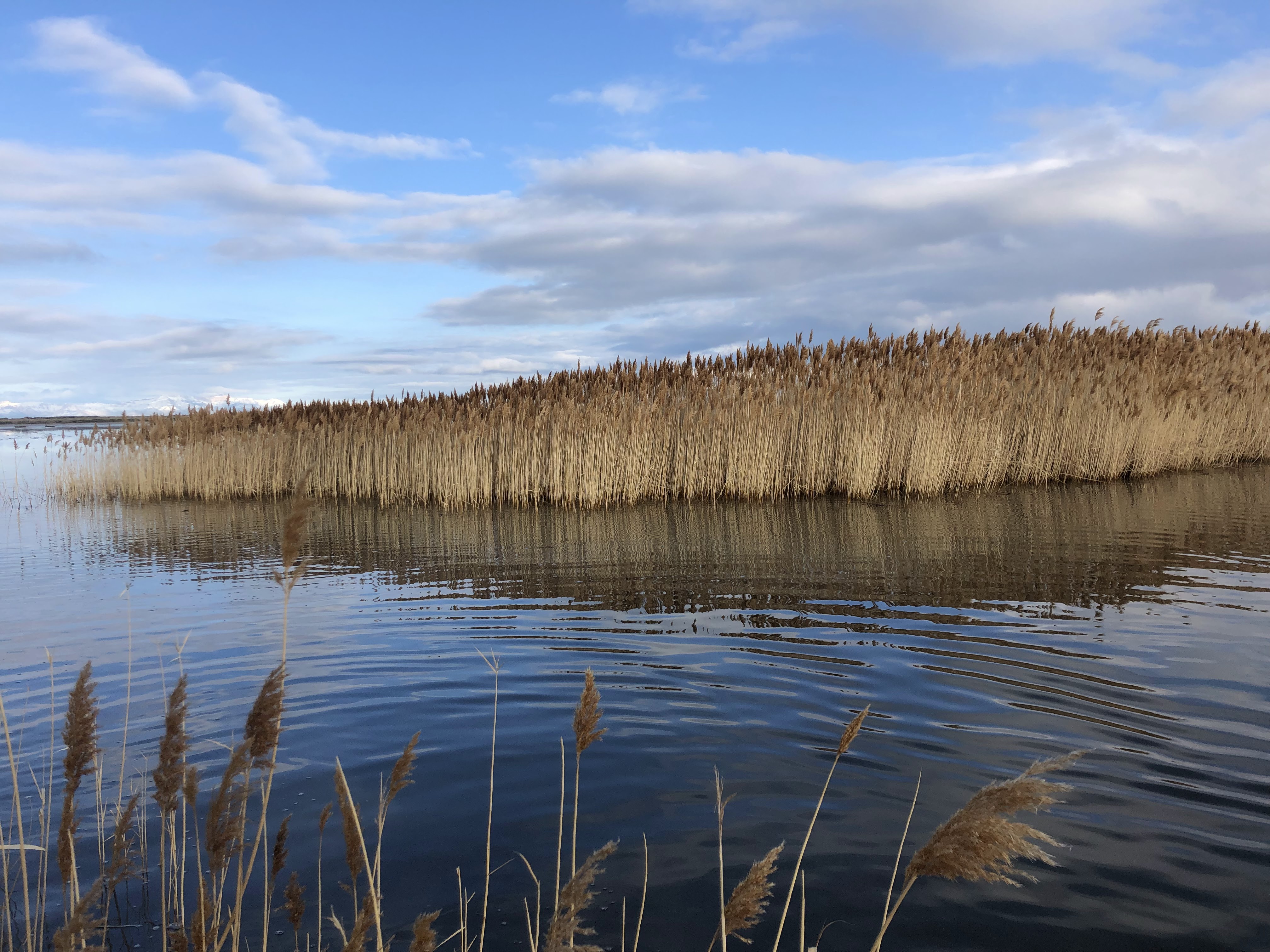
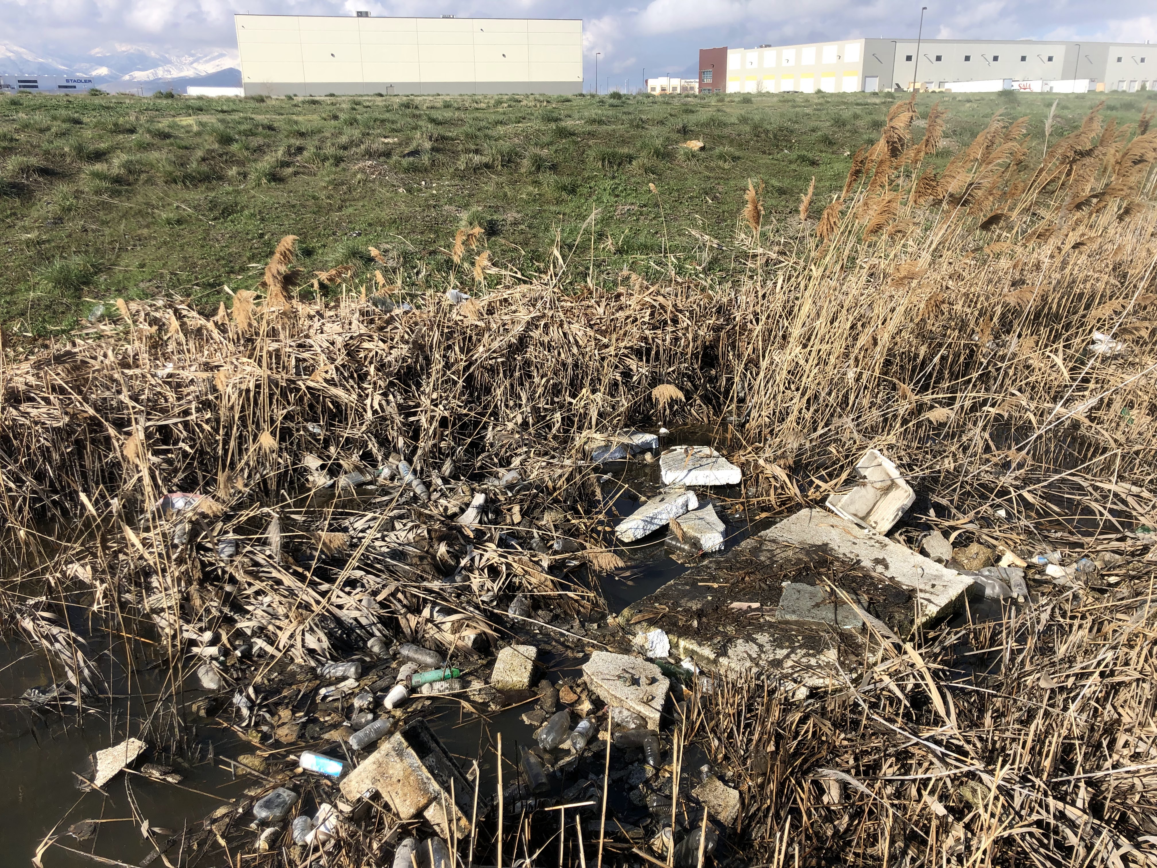
The route starts on the frontage road along I-80. I found a pull-off where I could access the Great Salt Lake. From there I tromped through the marshes heading east as long as I could staying north of the frontage road. Lots of cattails and freshwater with giant fish surprisingly swimming in large ponds. Because the cattails are so tall, you either have to push your way through the dense and tall vegetation or tromp through the water. Do this as long as you can bear, and continue pushing east staying north of the frontage road. Eventually, I tired of this type of hiking and opted for the road walk instead. Here I transitioned to the frontage road and had to hop a barb wire fence. I’m not entirely sure if I’ve been on public land. The frontage road walk is less than desirable. There shoulder of this frontage road has become a dumping ground. There are bags and boxes of garbage that people have left. Other times the wind or water has collected the garbage from the Salt Lake Valley in this resting place. I hike, fantasizing about what a massive clean-up effort this would take and how long it would take before it returned to its current state. Sometimes hiking in the often pristine serenity of the wasatch and uinta mountains can make us oblivious to this reality. It’s good to be grounded in the truth of the human impact on nature, even if it is less desirable to walk through.
Right before I reach the probar headquarters, I have to do some shoulder walking on the interstate (I-80) staying north of the freeway. More trash litters the interstate and the noise of the freeway is making the hiking unpleasant. I fantasize about what this trail would look like if it were to become a real trail that people cared about. I know many cyclists enjoy the route from saltair, but as of yet, it hasn’t gained traction with hikers. Now I know why.
At the probar headquarters, I find a ditch that I need to cross. Lucky for me I see a giant block of cement in the middle of the black sludge and littered plastic. It’s a perfect stepping stone. But when I step on it, I find out the “cement” is actually styrofoam. It doesn’t support my weight and I immediately fall into the nastiest “water” I’ve ever been in. I manage to scramble out of the ditch. But the stench stays on my clothes for the rest of the hike. Since probar supports an active outdoor lifestyle, maybe they want to sponsor a cleanup? I imagine most of this sludge is also coming from the rio tinto mine. But who knows what I’m covered in right now.
I cross the road (on-ramp to I-80, 5600 W) and continue east through the industrial/hotel complex until I reach the airport trail. At first glance, the gate to the airport trail appears like a secured area of the airport. But there are public hours to this trail segment. The airport trail is paved walking and it’s nice to now be able to avoid vehicle traffic. After a few miles, I exit the airport trail and walk down North Temple. This section of road I have walked frequently with co-workers. I pass by Lofte’s, an establishment near my work that I frequent occasionally.
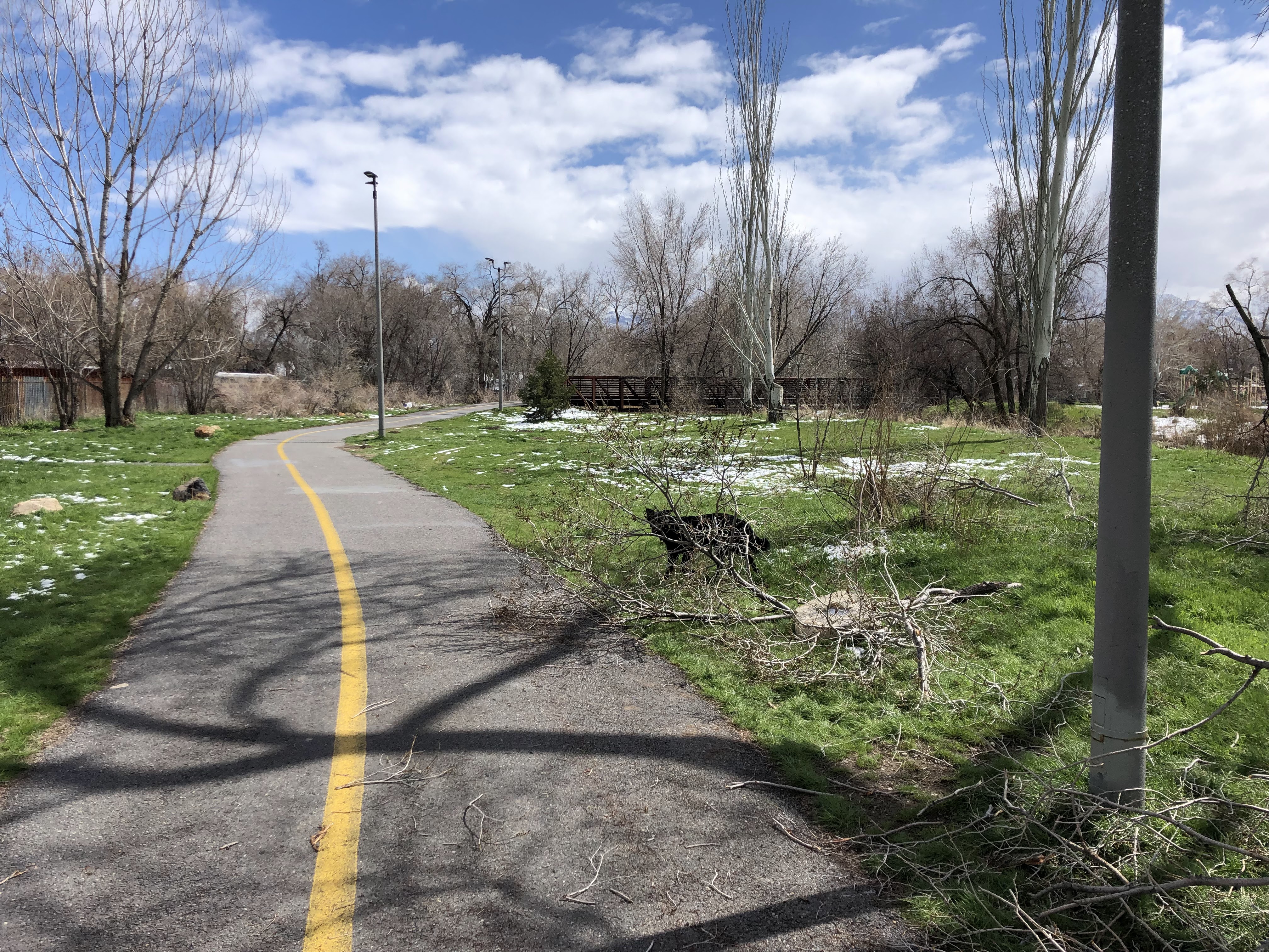
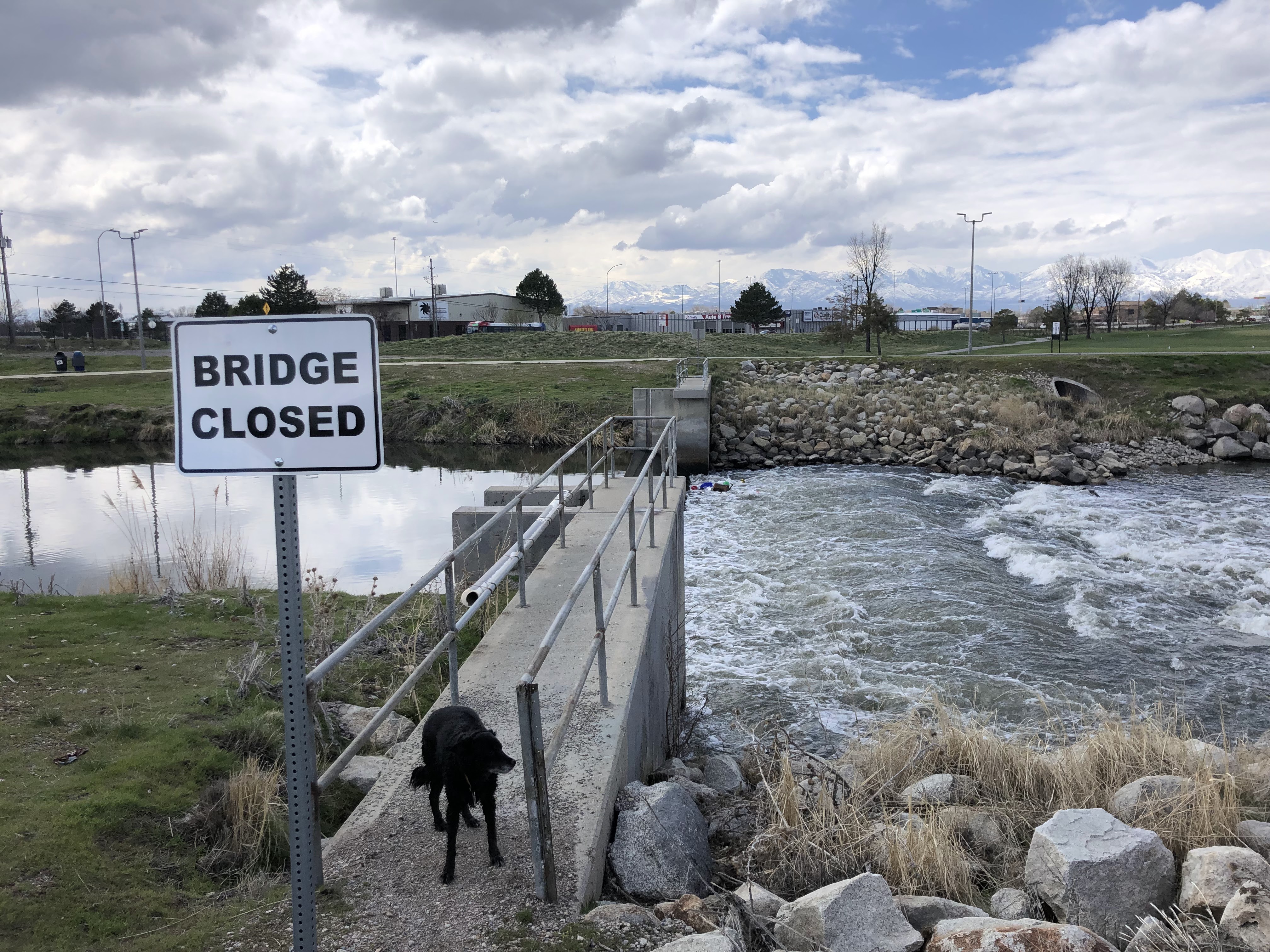
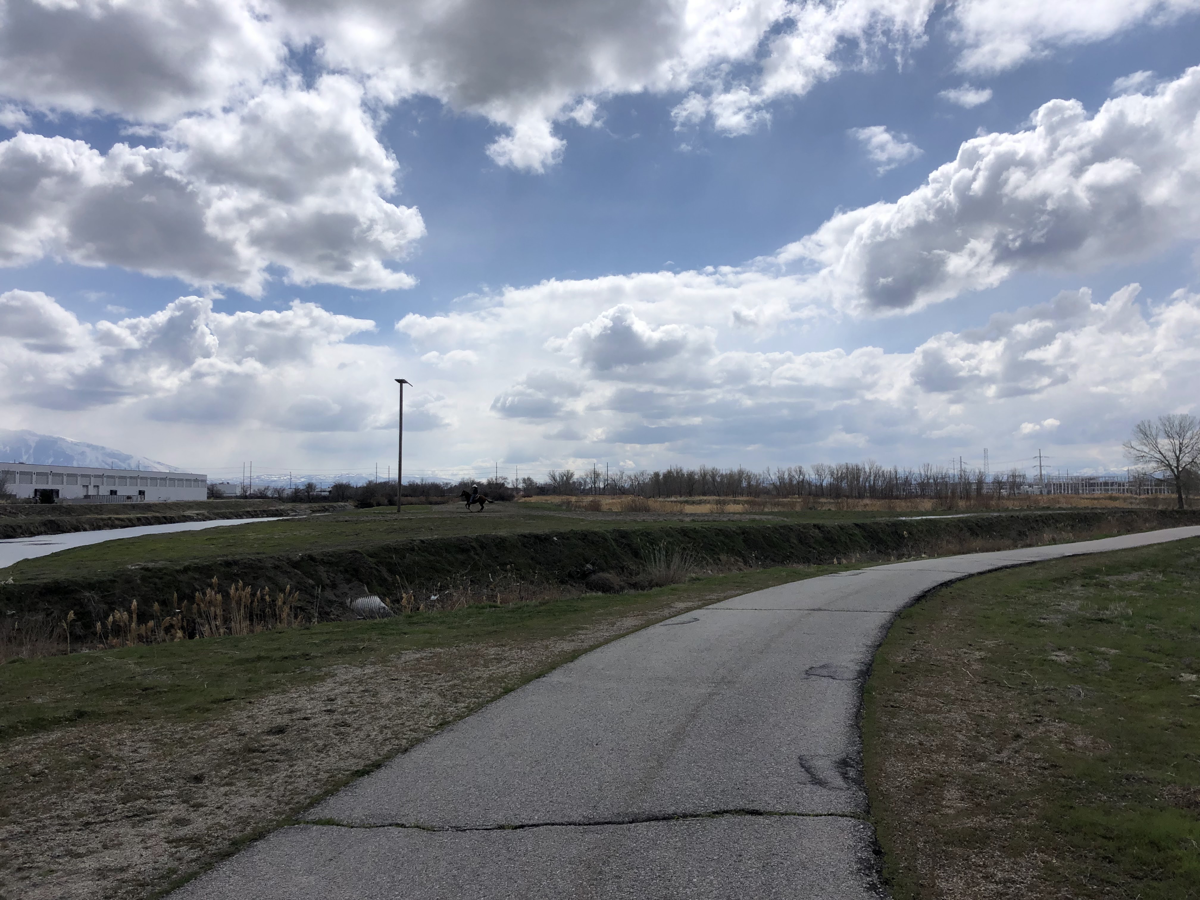
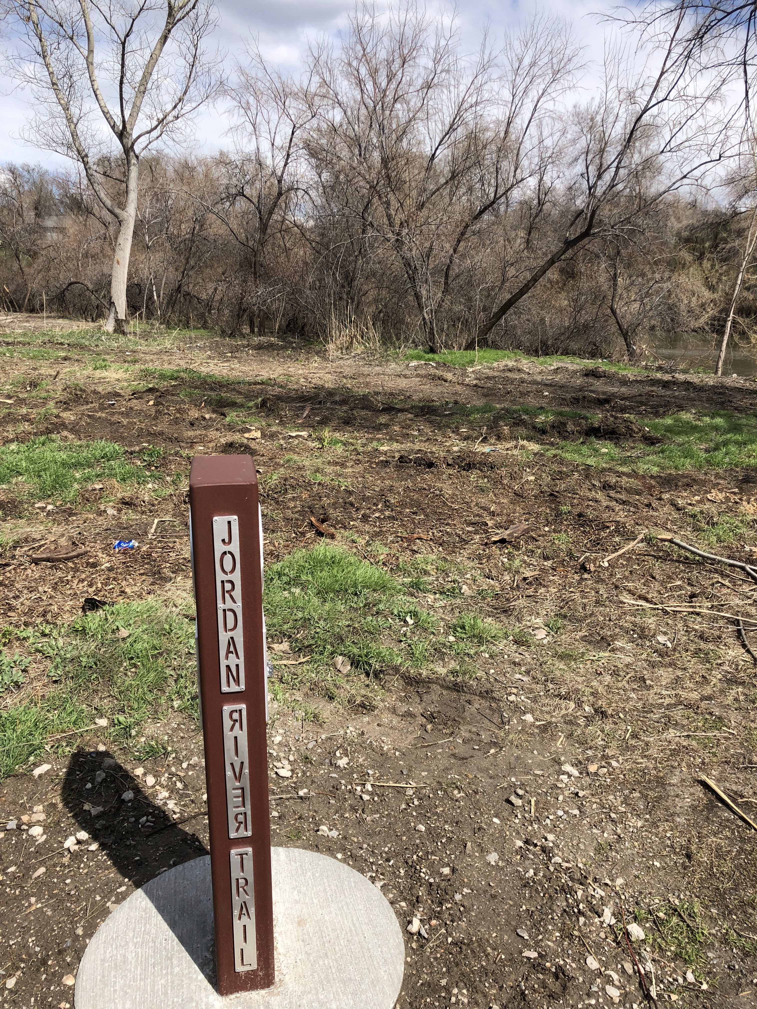
I continue my walk east on north temple. Beyond redwood road, I enjoy the wide brick sidewalks until I make my connection to the Jordan River Parkway at the liquor store across from the fairgrounds. I get on the JRP and head south towards Utah Lake. As I cross a tall bridge over the train tracks, I reflect on how this section was one of the final sections of the JRP to be completed. This trail now has new signage with mile markers. I walk the JRP down to about 4700 S before I call it quits. I won’t make it to Utah Lake today, but sometime in the future I’ll maybe return to finish what I started…a route that connects the Great Salt Lake to Utah Lake. Or perhaps I’ll reroute the entire trek through the oquirrh mountains.