December 2017
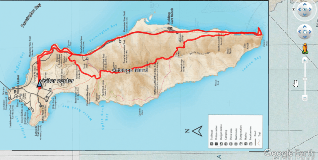
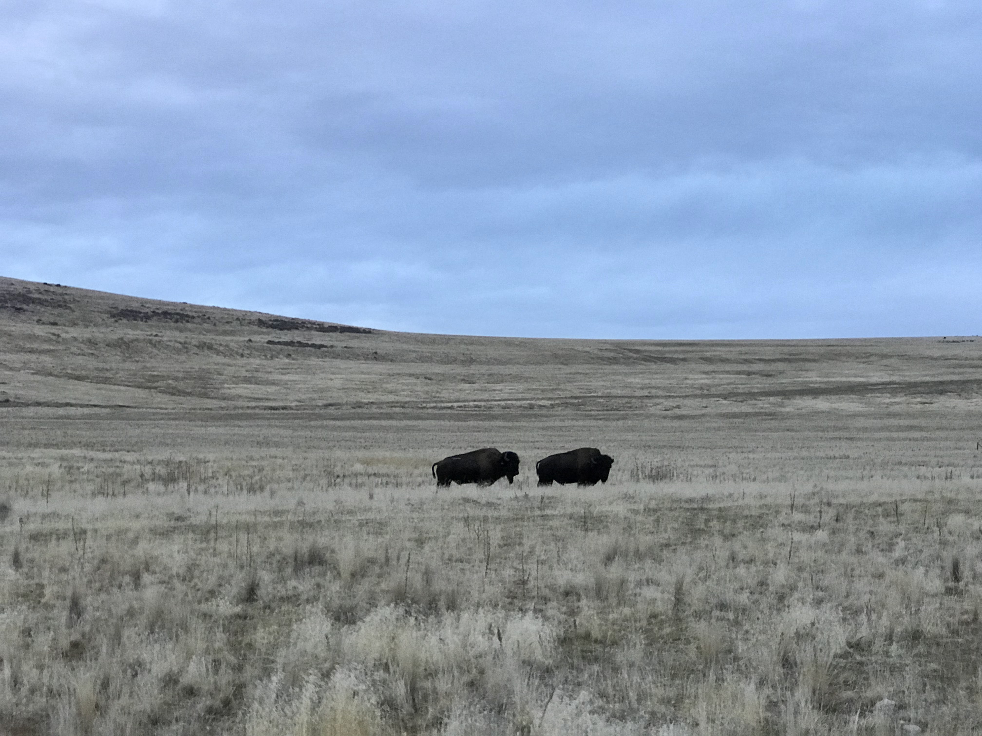
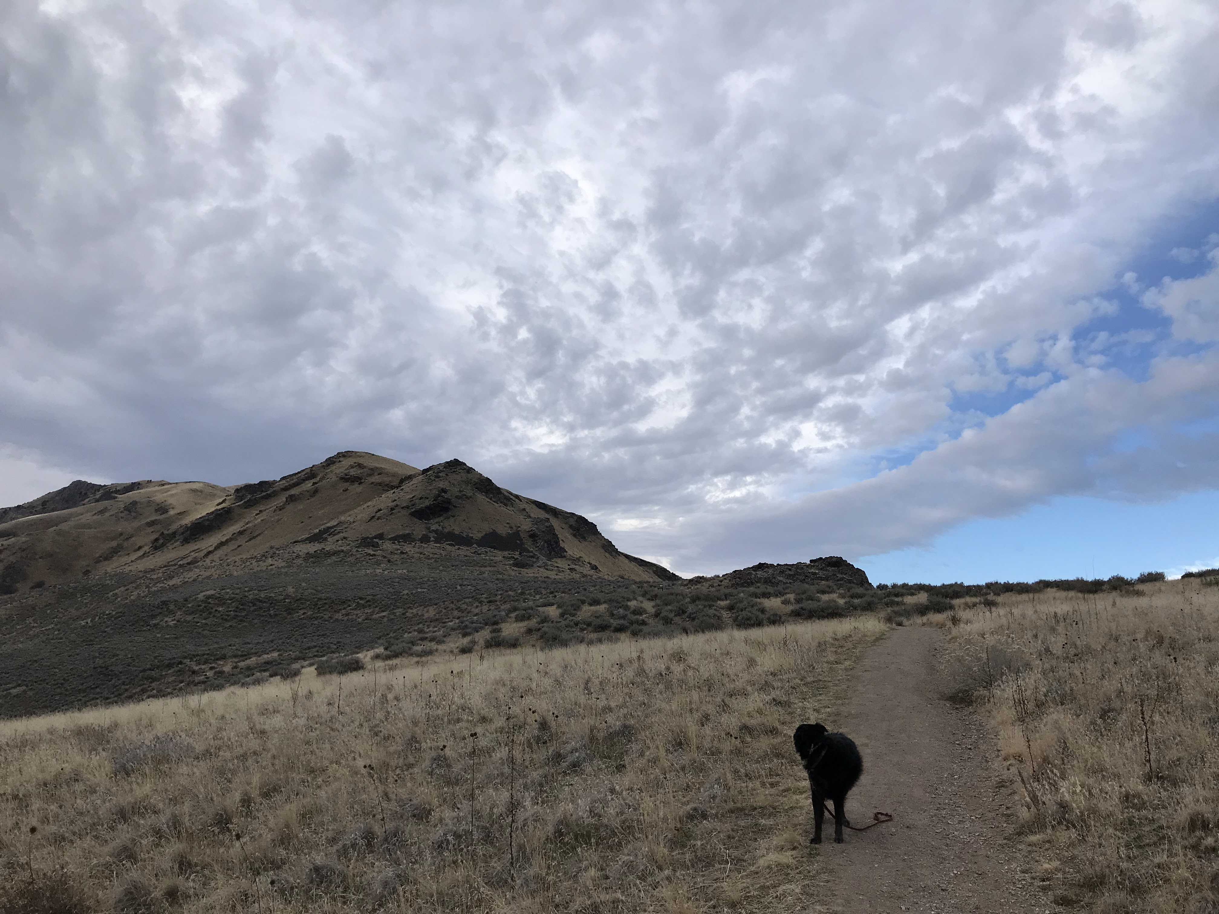
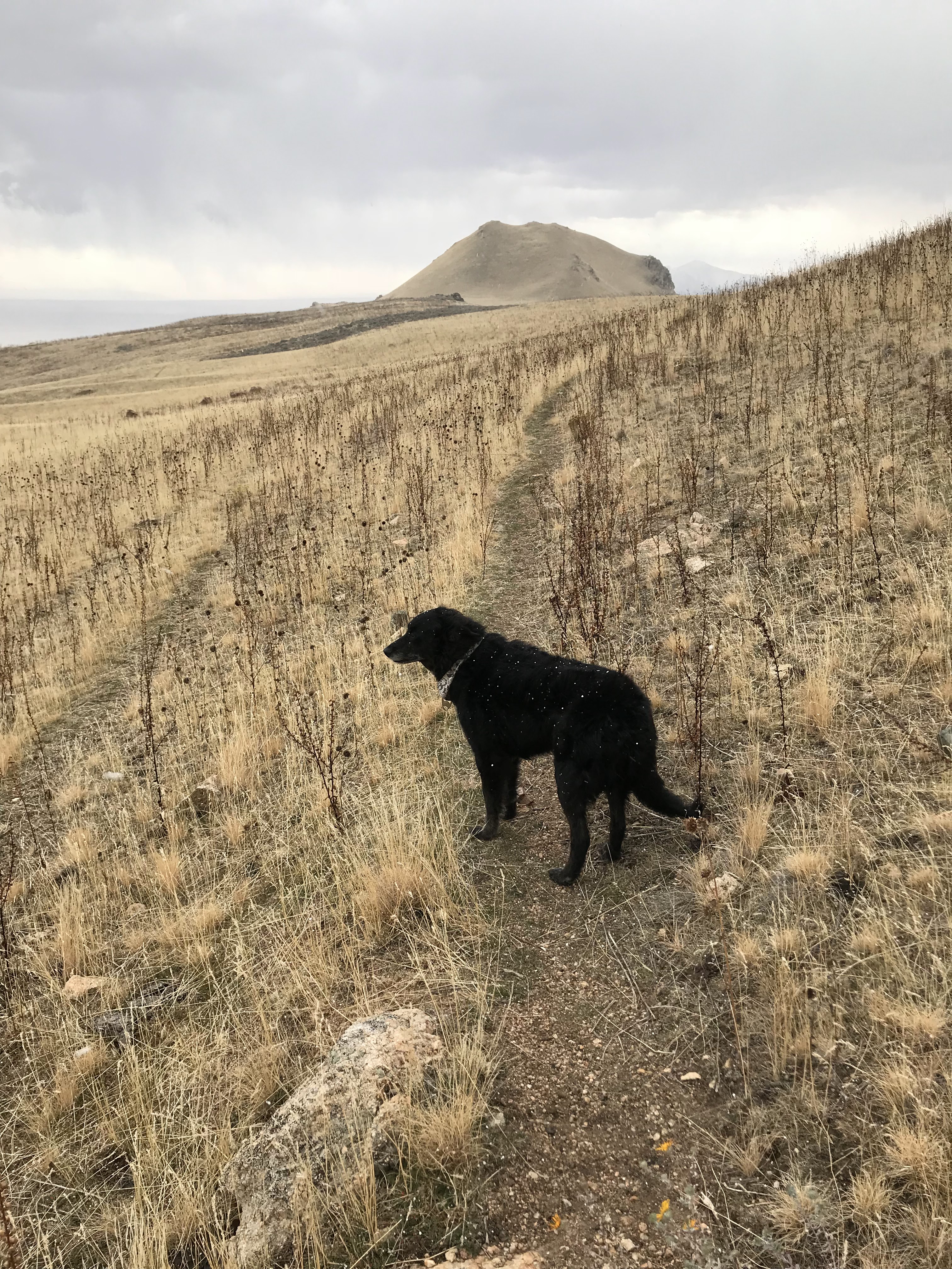
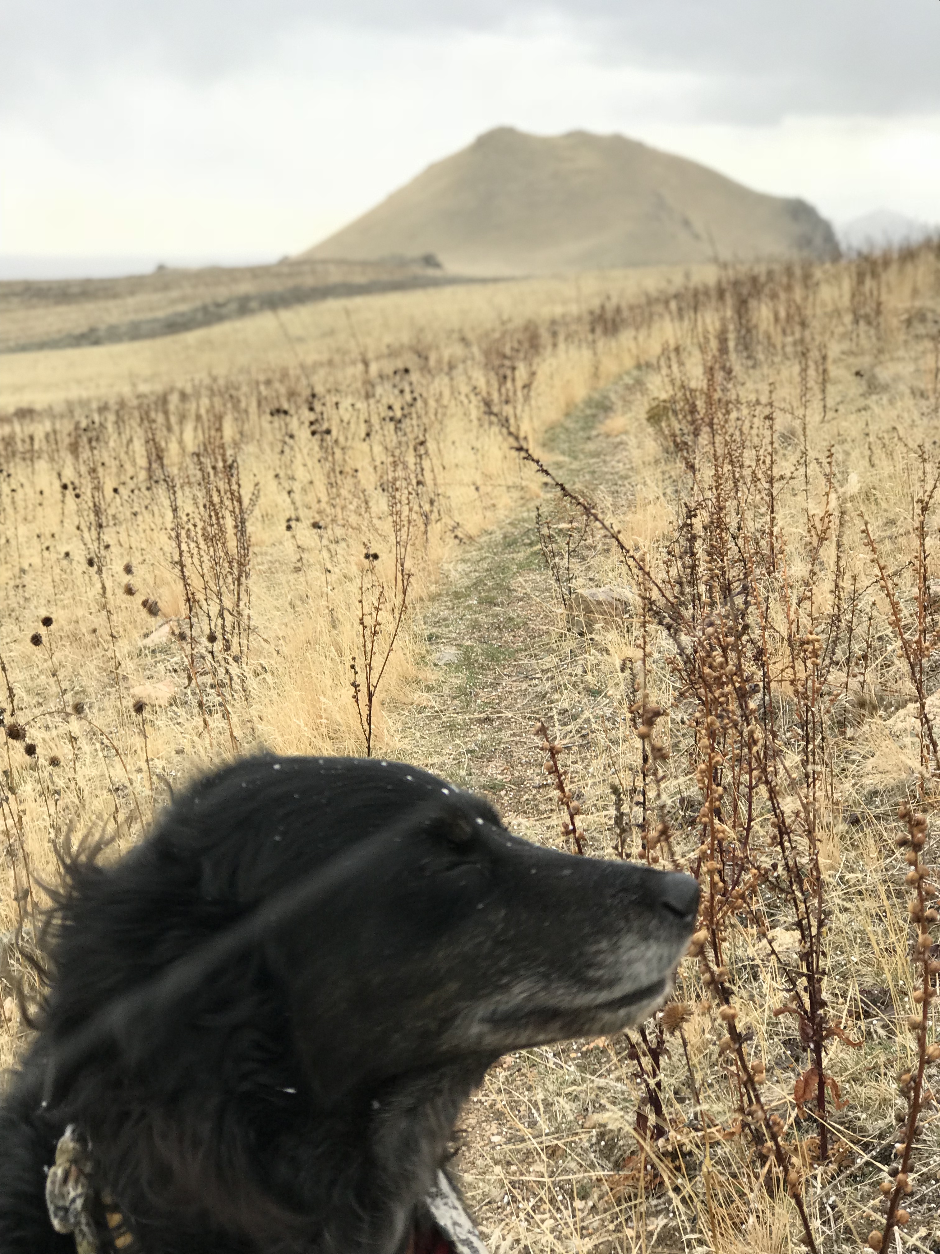
The trans-antelope trek (TAT) is a grueling 35 mile loop hike. It includes a summit of Frary Peak (the island’s high point), a fun ridge run, followed by a shore walk. It features bison and little vegetation. In the summer this would be a hot and exposed hike. In the winter, you will struggle with completing your hike during the daylight hours that the state park (island) is open. Backcountry camping is not allowed on Antelope Island. For that reason, this hike can only be completed as a day hike. Dogs are welcome on this trail but must be kept on a leash. You are smart to follow this regulation particularly if you have a dog with herding tendencies towards bison.
After arriving on the island from the causeway, follow the signs to park at the visitor center. From here you will hike directly east off trail towards the shore. As you hike east you will eventually encounter a shoreline trail (mountain view trail). Take this trail south and be alert of bison. This is a common area for you to encounter bison. As you continue south you will notice that the trail runs parallel to the road. Eventually the trail and the road will meet each other and you will notice a road continuing up the hill (west) to the frary peak trailhead.
At the Frary Peak trailhead you get on a singletrack trail which is easy to follow towards Frary Peak. Nearing the ridge, you may also encounter bison as I did on my attempt of this trek. Eventually you will summit Frary. The trail to Frary is a fun hike and if you are not ambitious enough to make the entire trek, this would be a nice accomplishment in itself.
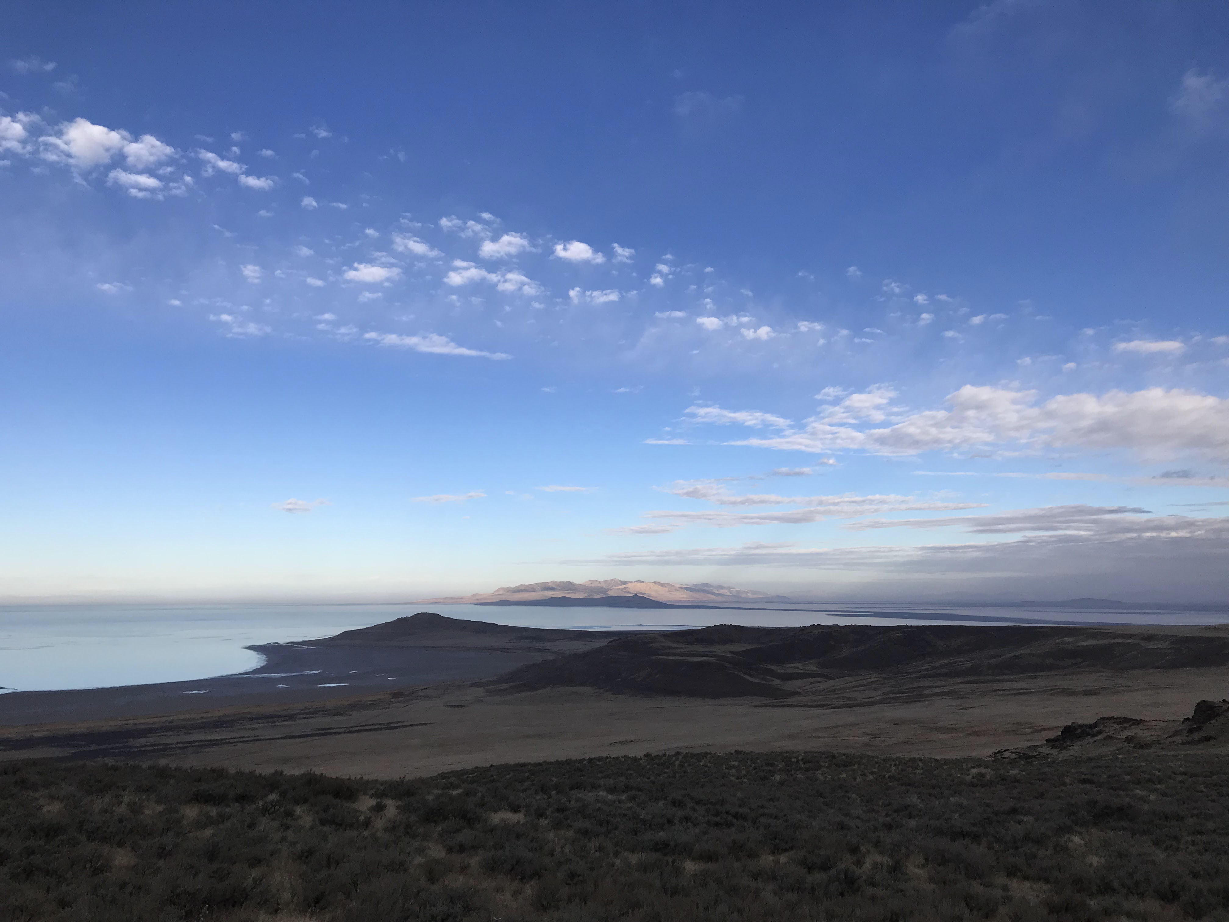
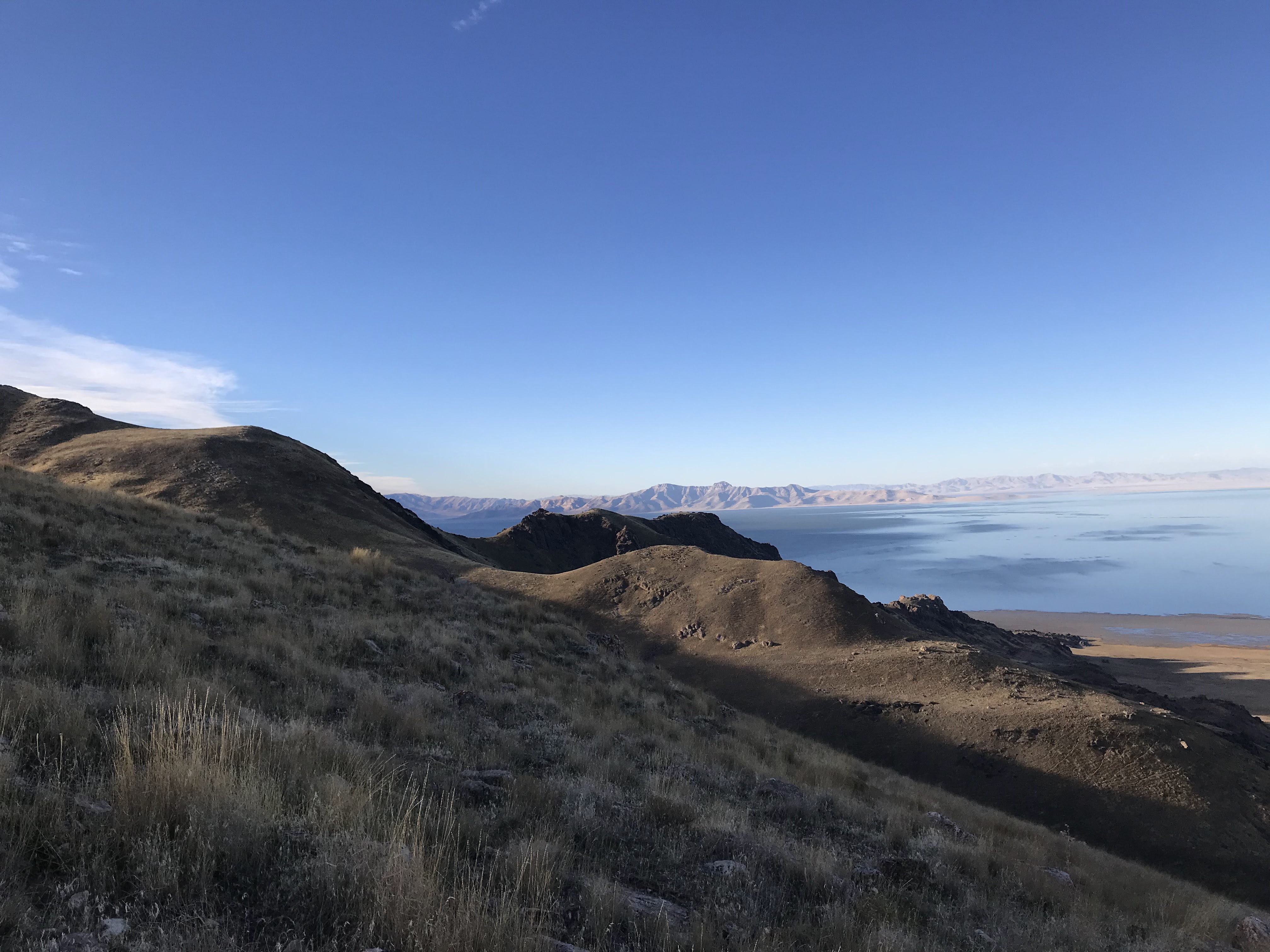
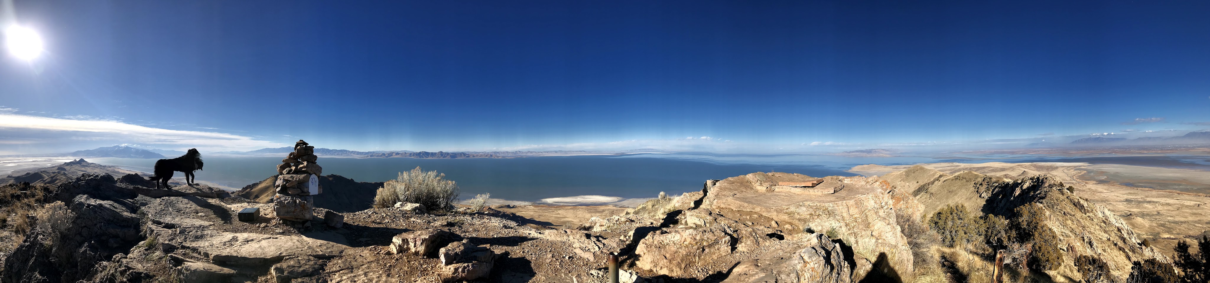
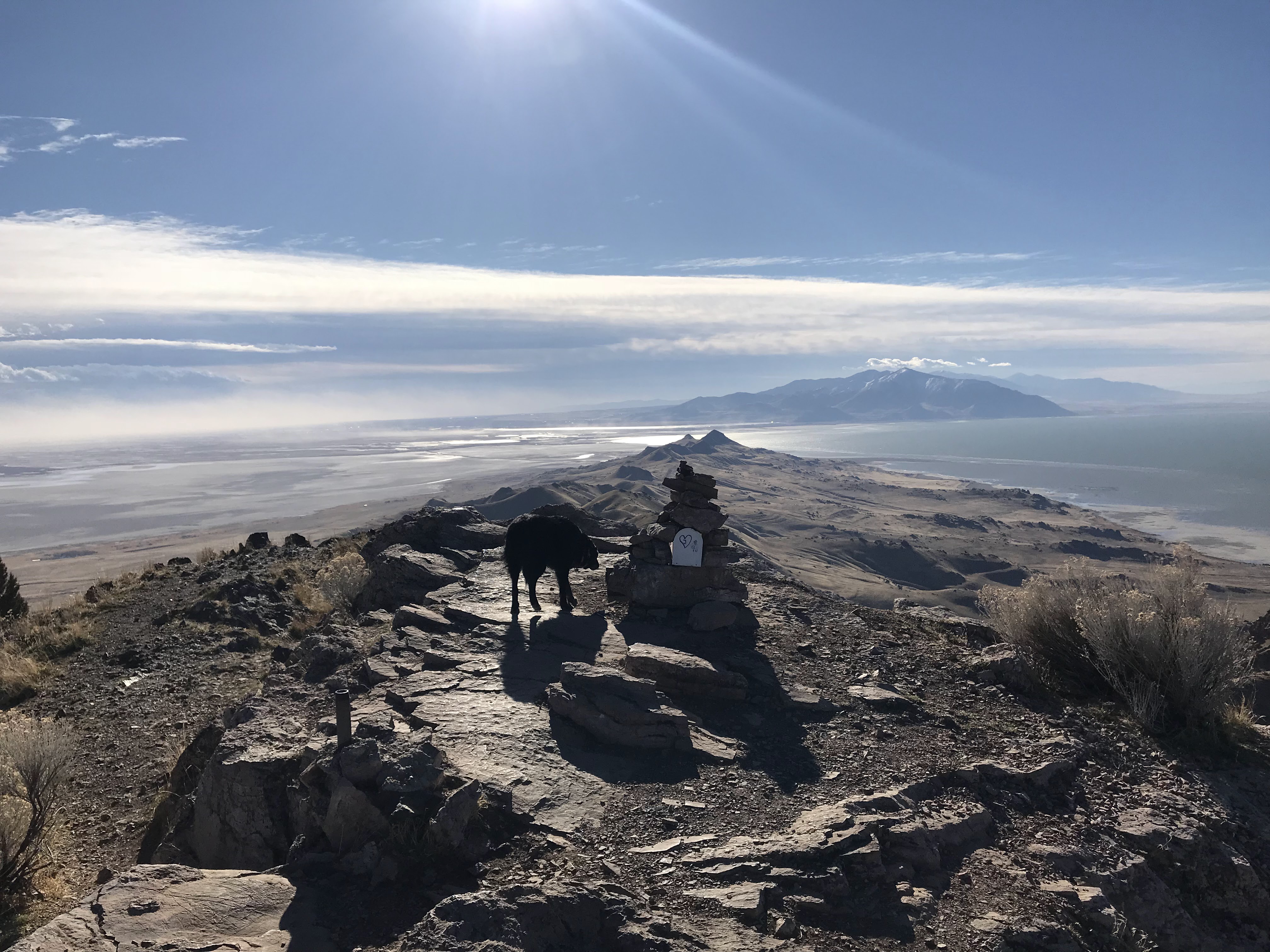
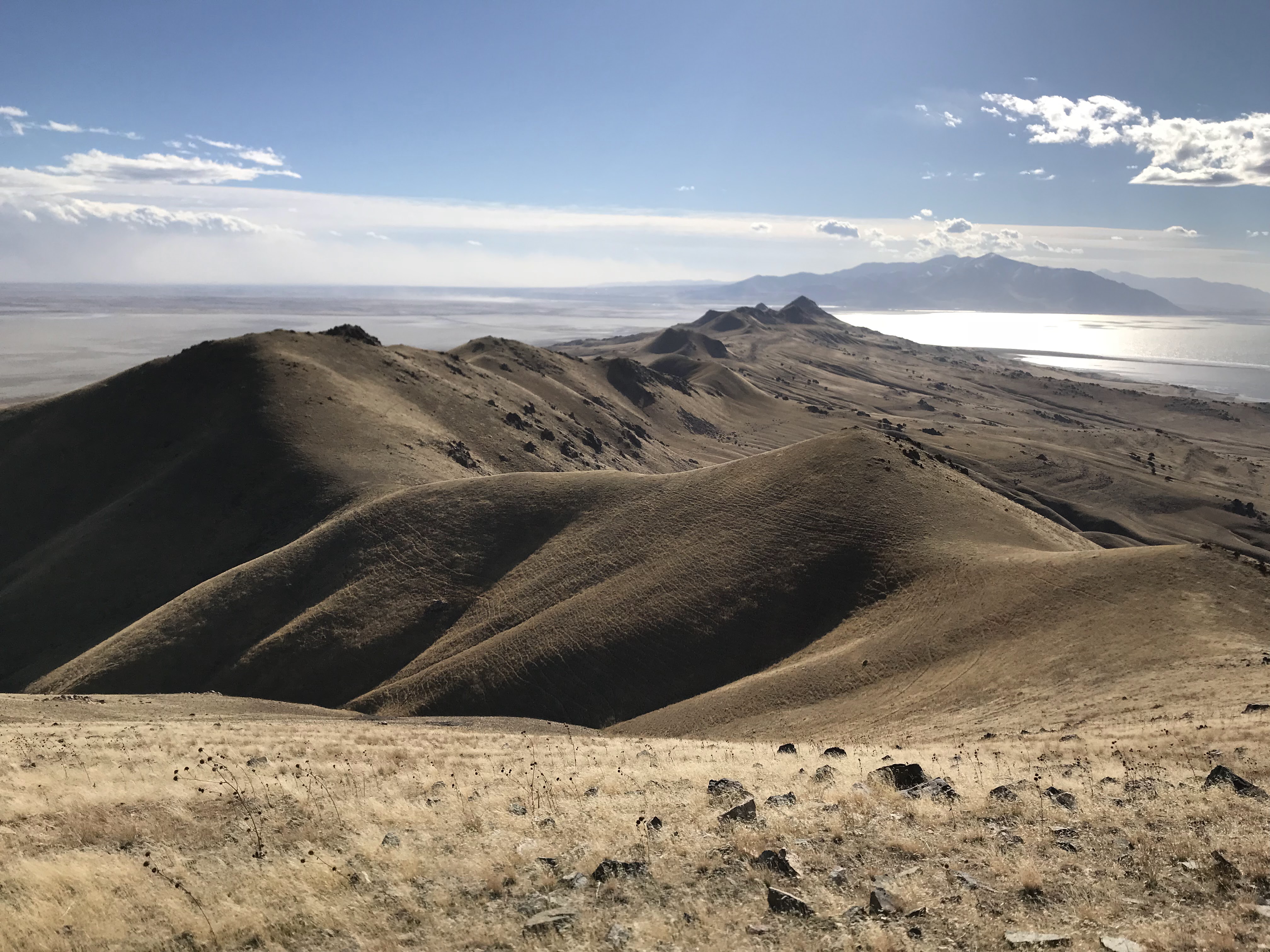
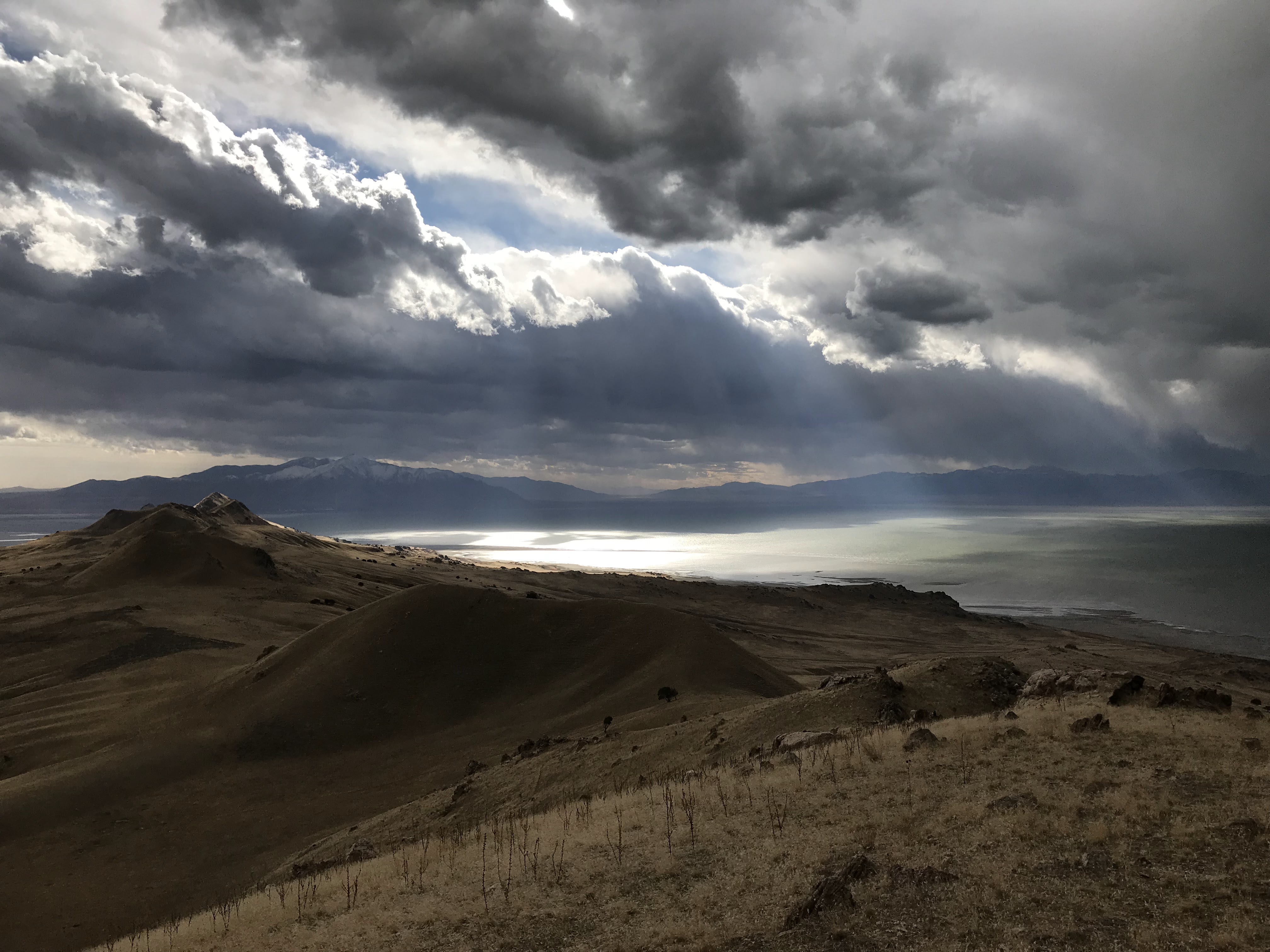
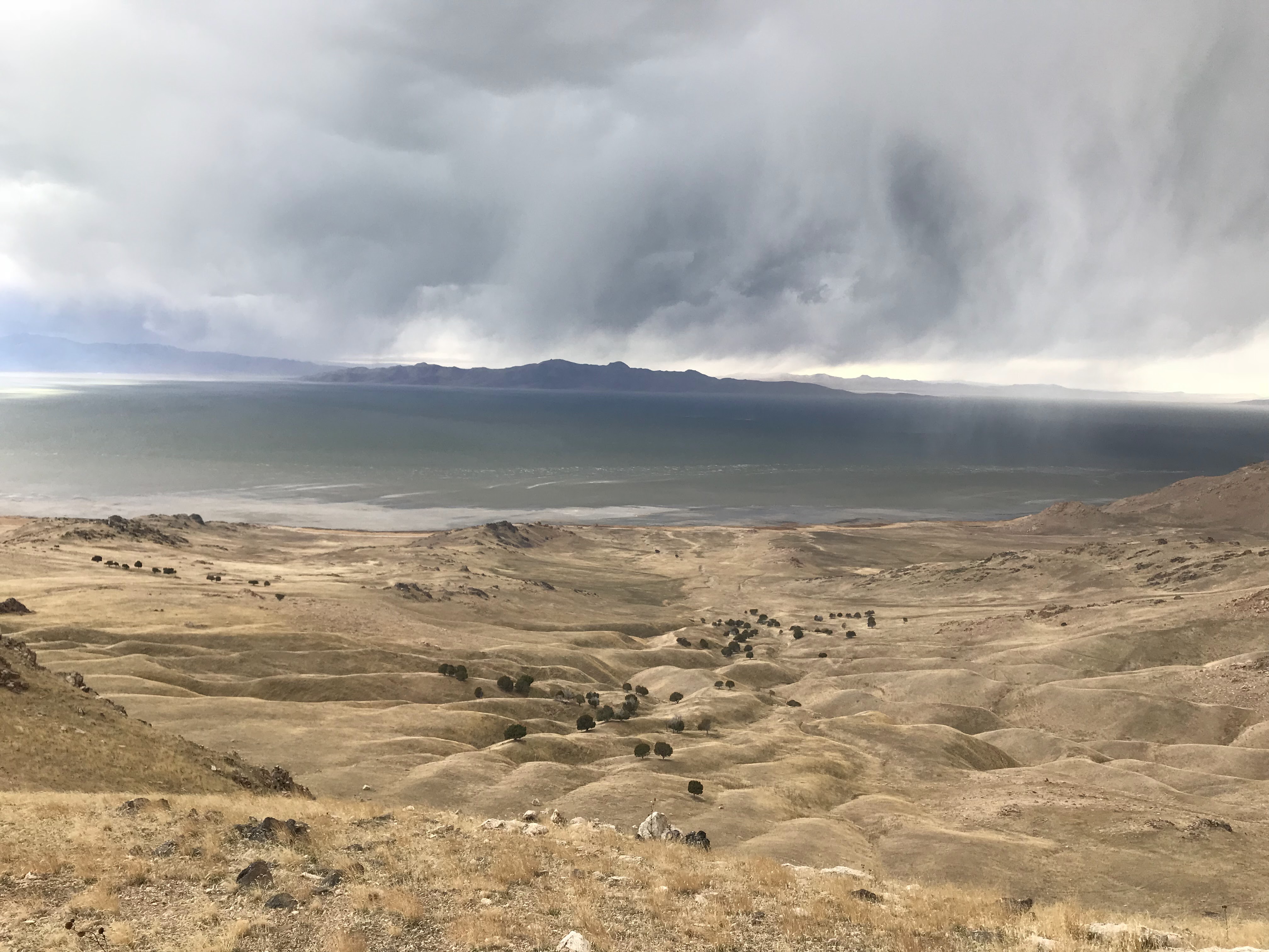
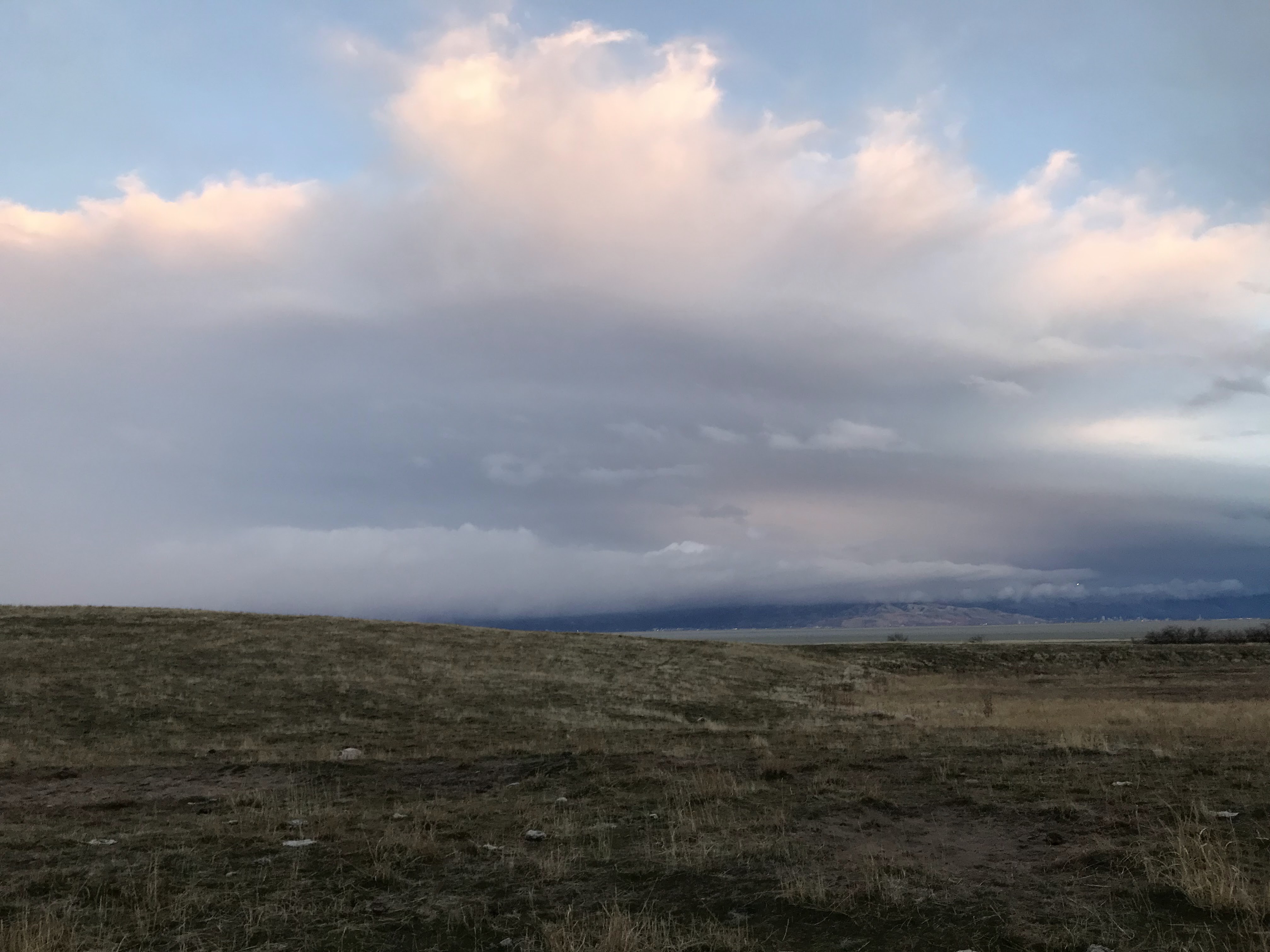
At the summit of Frary Peak, the trail now ends and you will continue to follow the ridgeline south. You will have to pick your own route, sticking to the ridge as much as possible. Occasionally, you can stay slightly below the ridge and just skirt below the top. You will do a fair bit of up and down on this ridge line but it’s easy walking with sparse vegetation. The views to the west are extraordinary and make you forget that the highly populated salt lake valley lies to the east. If you can time yourself to be on the ridge at sundown, you will be rewarded with a spectacular sunset across the Great Salt Lake. Then again, if you are on the ridge at sunset, that probably means you’re way behind schedule for this hike.
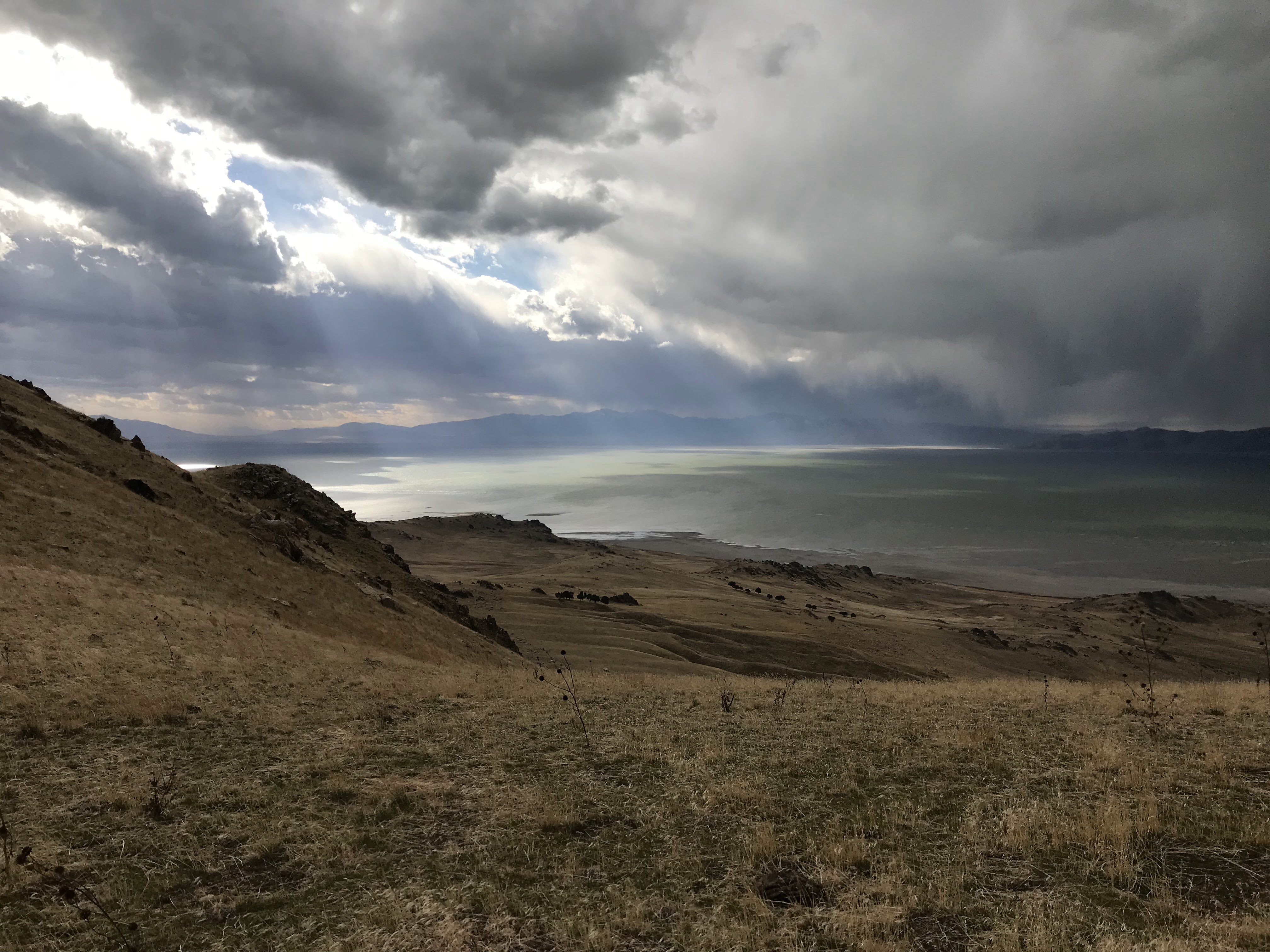
Continue following the ridgeline as long as you’d like. At some point I dropped down to the shore and met the shoreline trail at the mushroom springs area. Next time I do this hike I will opt to stay on the ridge for the entirety of the island across daddy stump ridge and molly’s nipple. In December 2018, I dropped down and from mushroom springs made the 8 mile trek out and back to Unicorn Point. At unicorn point, I felt an incredible sense of accomplishment having walked the island from north to south. Purists will opt to start their hike by dipping their toe in the GSL at the marina. But the visitor center is close enough to the north end for me.
I started to make the long walk back along the shoreline known as the “Mountain View Trail”. I made the death march slowly back. Defeated and exhausted in the dark I began to worry about being trapped on this island if I tried to drive off after the state park closed. I called my supportive wife and she came and rescued me and returned me to my car allowing me to skip the last 8-9 miles. Someday soon, I’ll attempt this hike again and complete it when I have better endurance.