Snow Canyon Loop

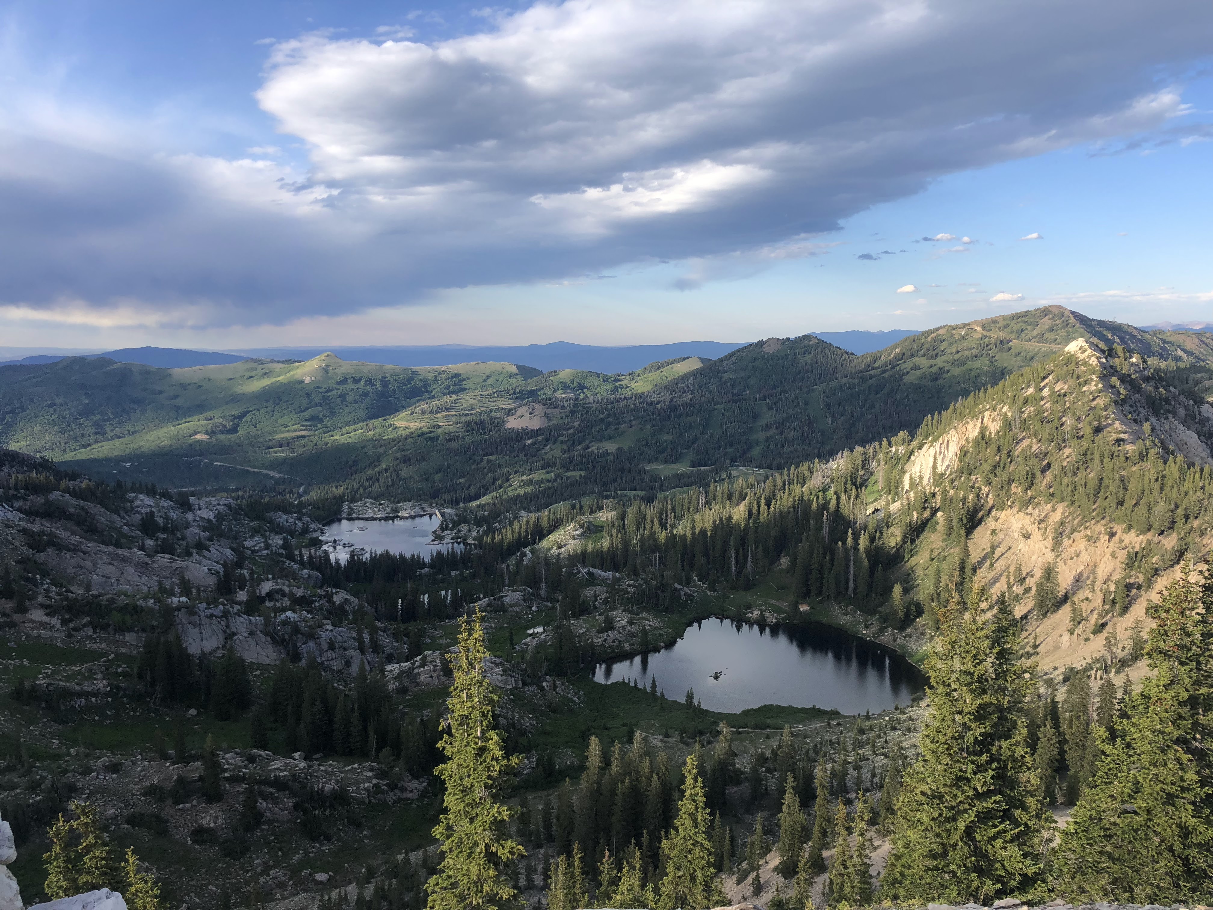
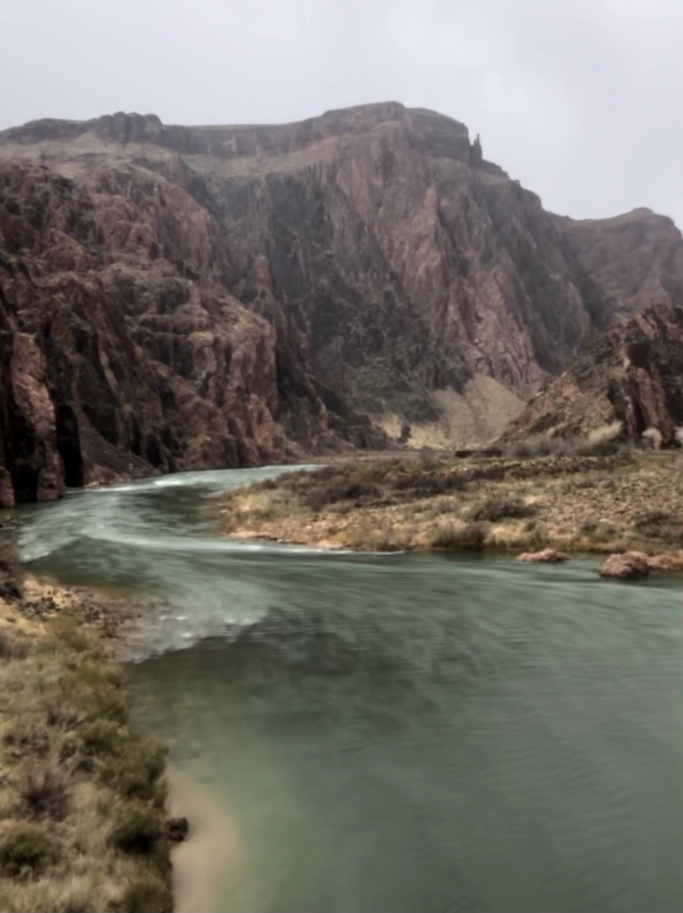
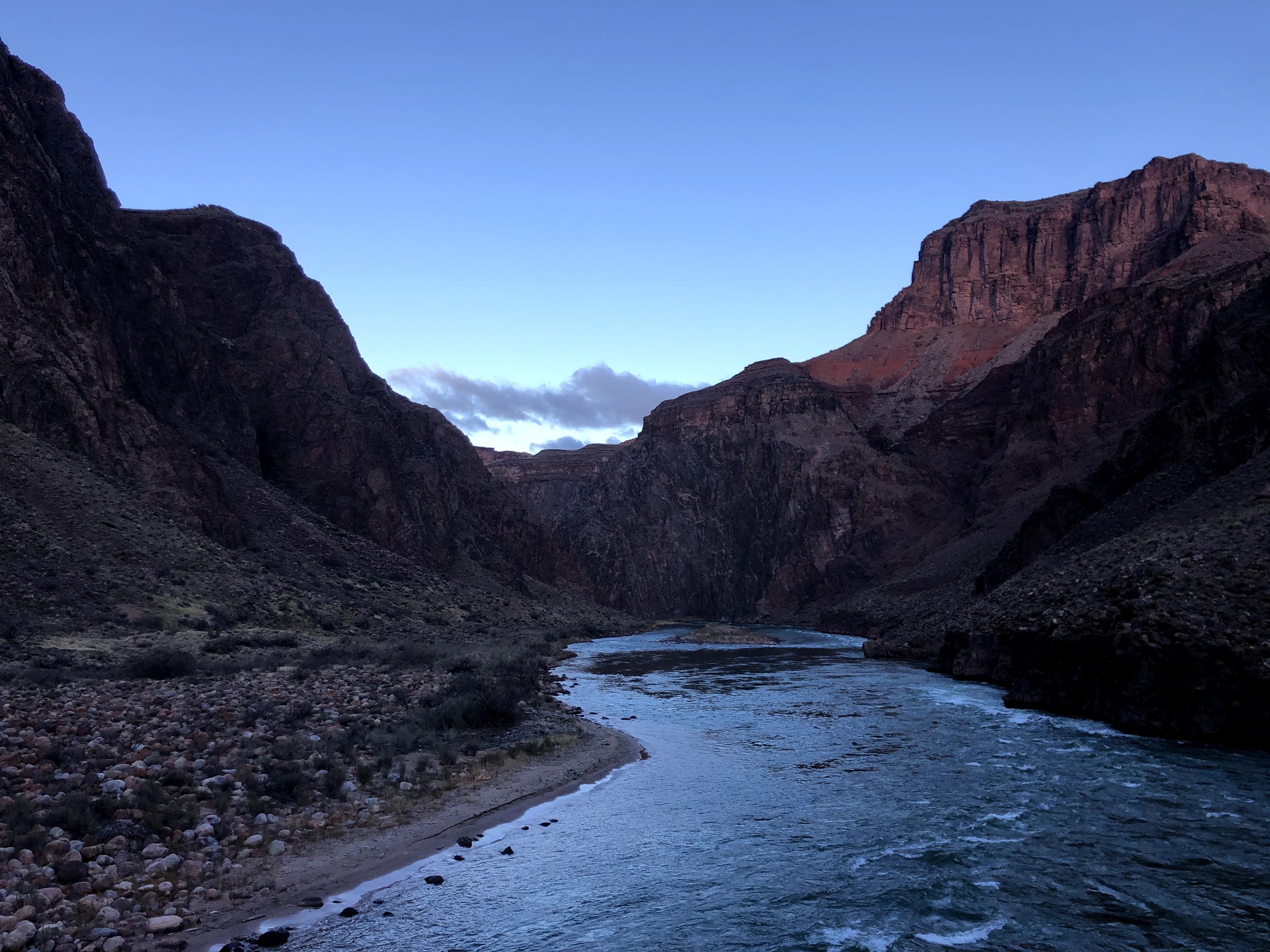
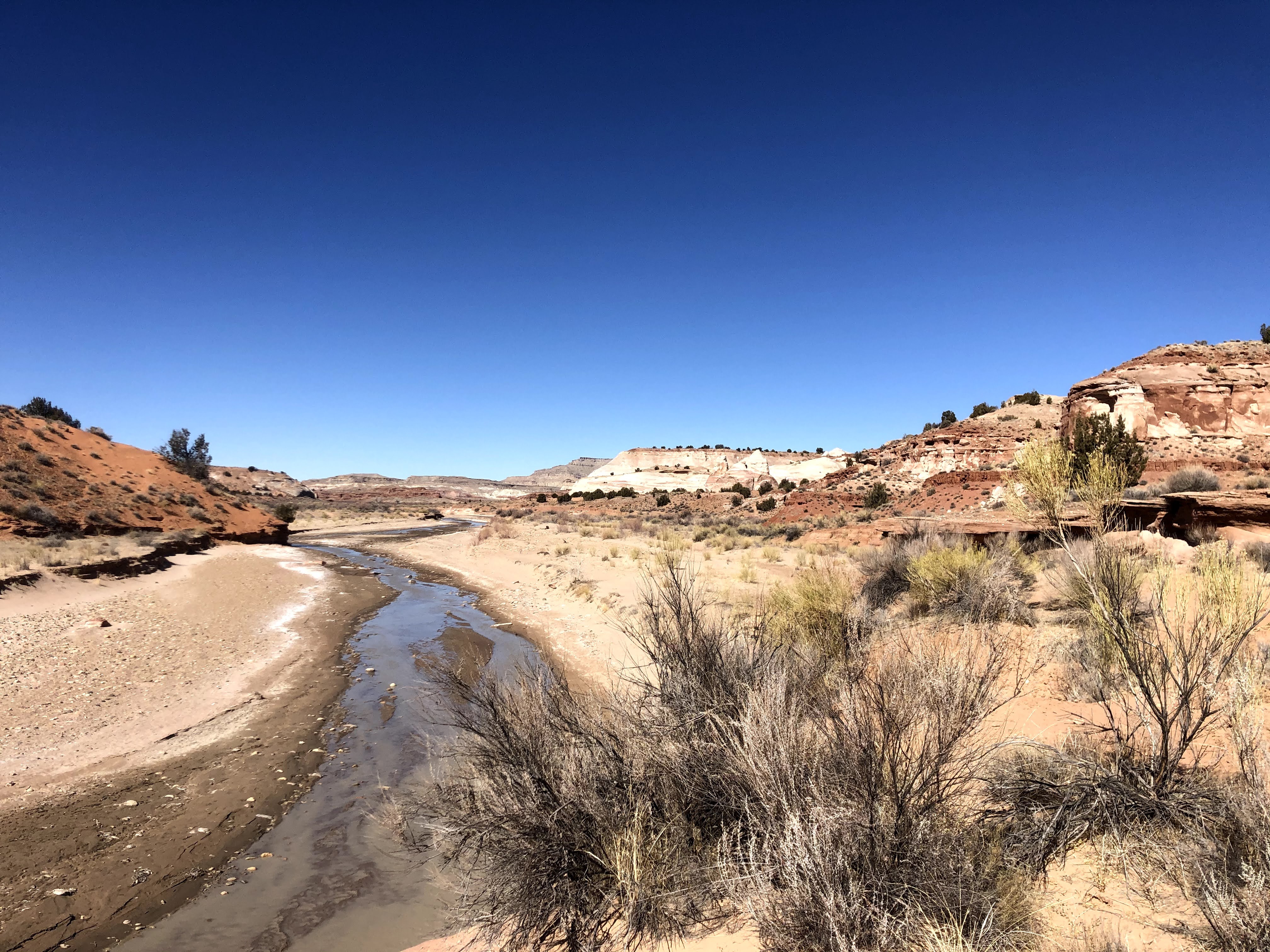
The challenge: This is a 32-ish mile day hike loop near St. George Utah. This must be completed in a 16 hour period. The State Park is only open during the hours of 6:00 AM to 10:00 PM.

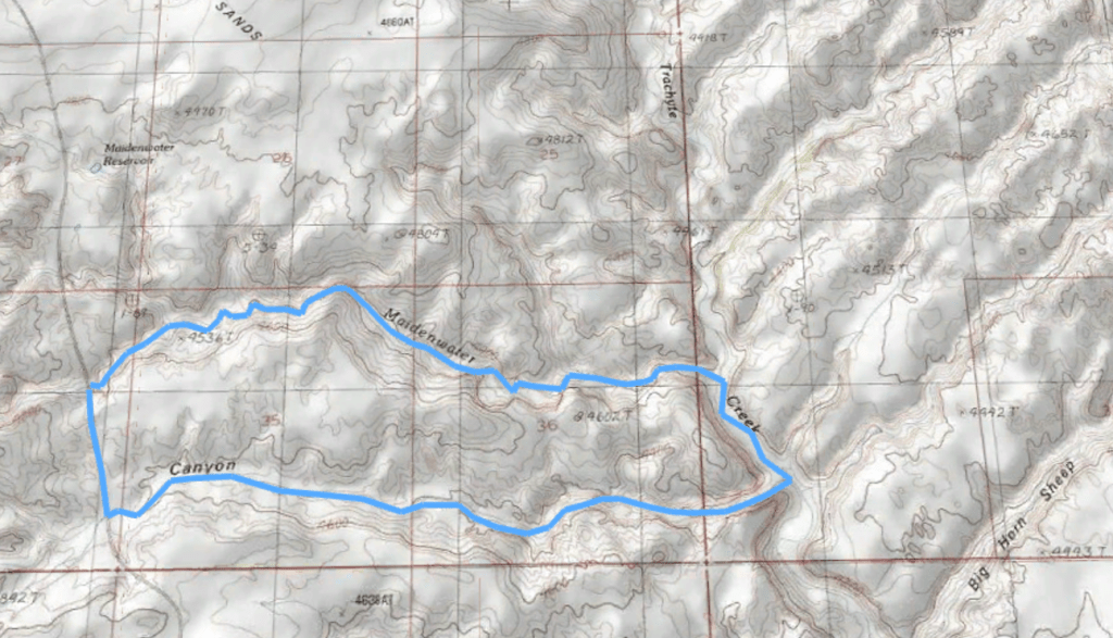
The route: Start at the northern end of Snow Canyon parking your car at the Whiterocks trailhead. Traverse Snow Canyon State Park from North to South exiting through Chuckwalla Trailhead and returning back to your car on a South to North route. Connect these trails in the following order:

North to South:

  1. Whiterocks
  2. Lava Flow
  3. Butterfly
  4. Petrified Dunes
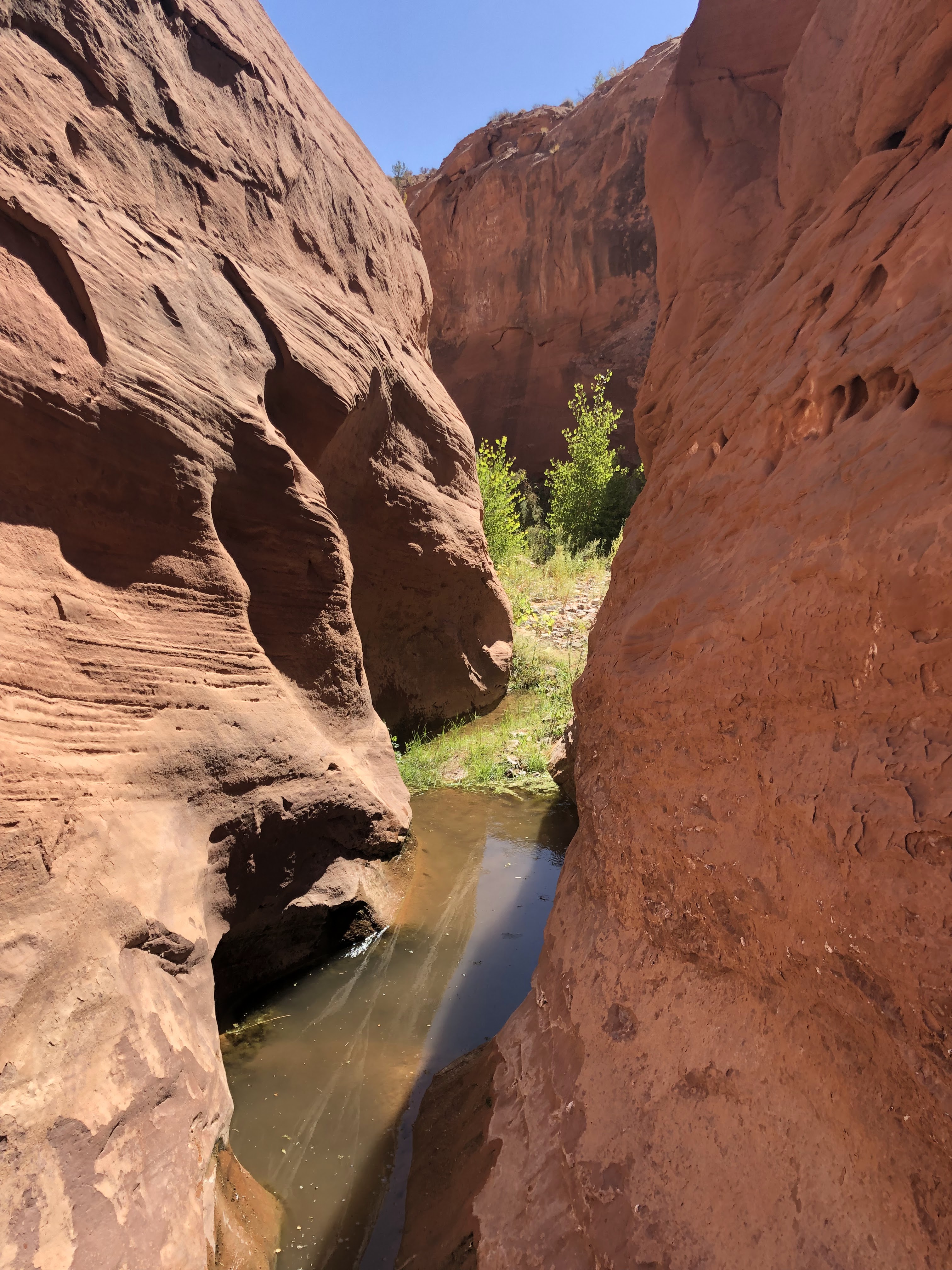
  5. Hidden Pinyon/Red Sands
  6. Scout Cave
  7. Paradise Rim
  8. Turtle Wall
  9. Chuckwalla

South to North

  1. Rusty Cliffs
  2. Gila
  3. Whiterocks

Overnight option: There is no backpacking option along this route. The rusty cliffs trail does briefly leave the state park and enter the Red Cliffs Desert Reserve. This is in the lowland zone of the RCDR and backpacking is not allowed in this area. Some options for breaking this hike into two days are as follows:

  1. Reverse the hike starting and ending at Chuckwalla. Stage a camp at the snow canyon campground. Caution: You cannot leave a car overnight at the Chuckwalla trailhead. You will need to use a shuttle option or park offsite from the trailhead.
  2. Other shuttle options are to leave a car either at the north or south end of the park and car camp offsite from the trailhead. Both the northern terminus (Whiterocks) and the southern terminus (chuckwalla) do not allow parking between the hours of 10PM-6AM. It is enforced. Plan accordingly.

Trip Report:

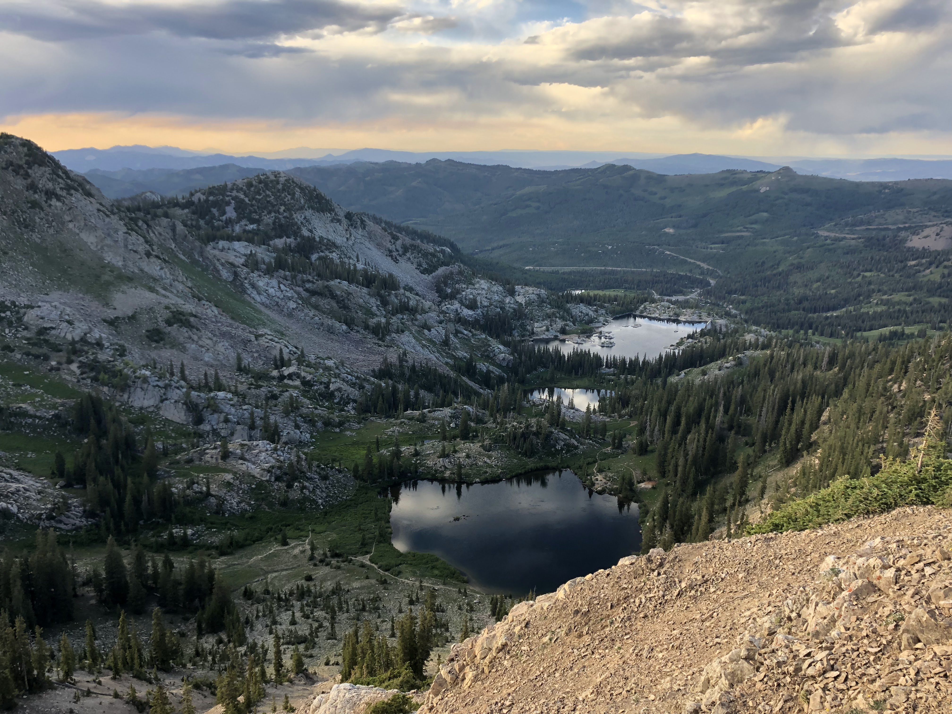
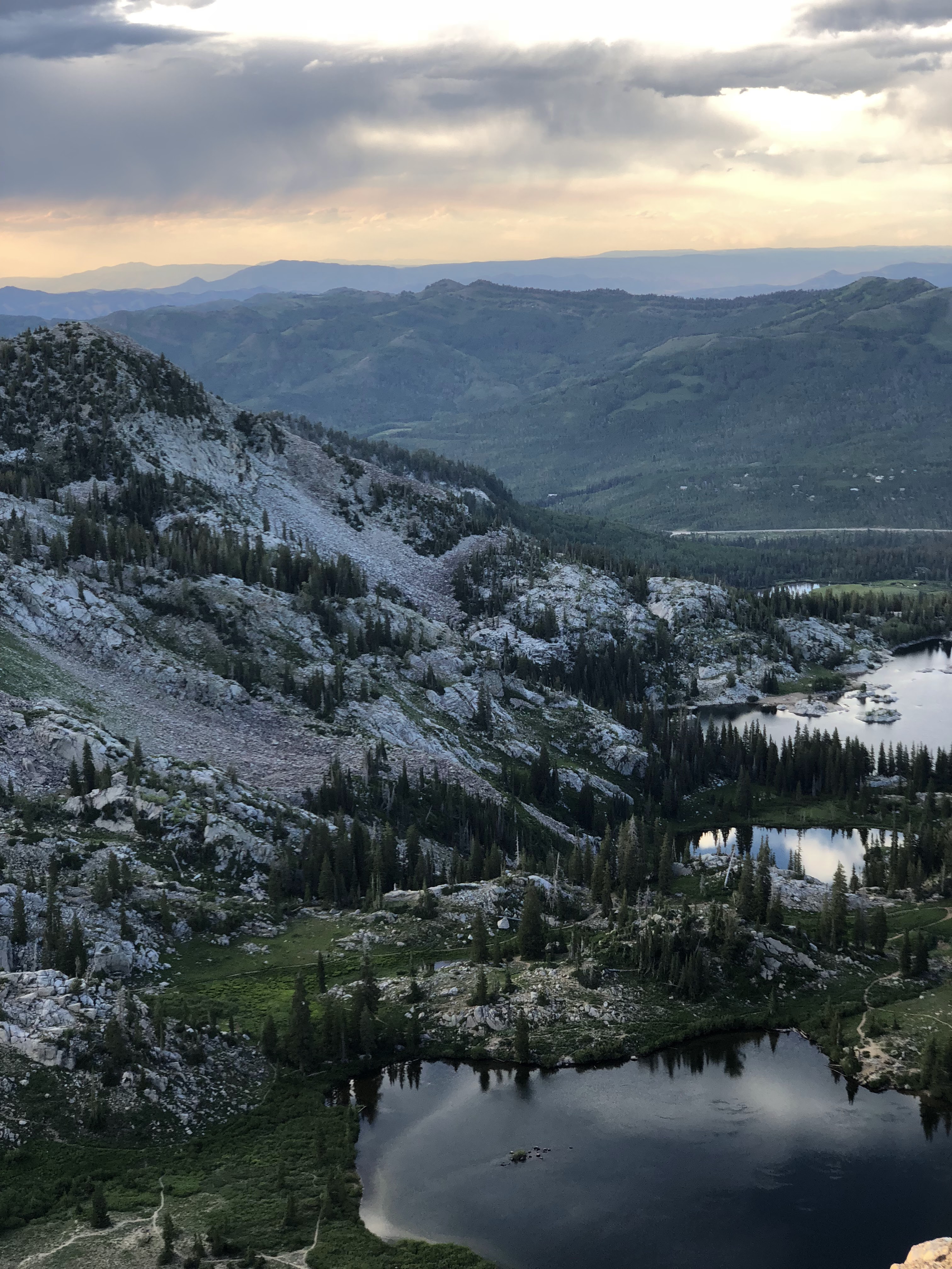
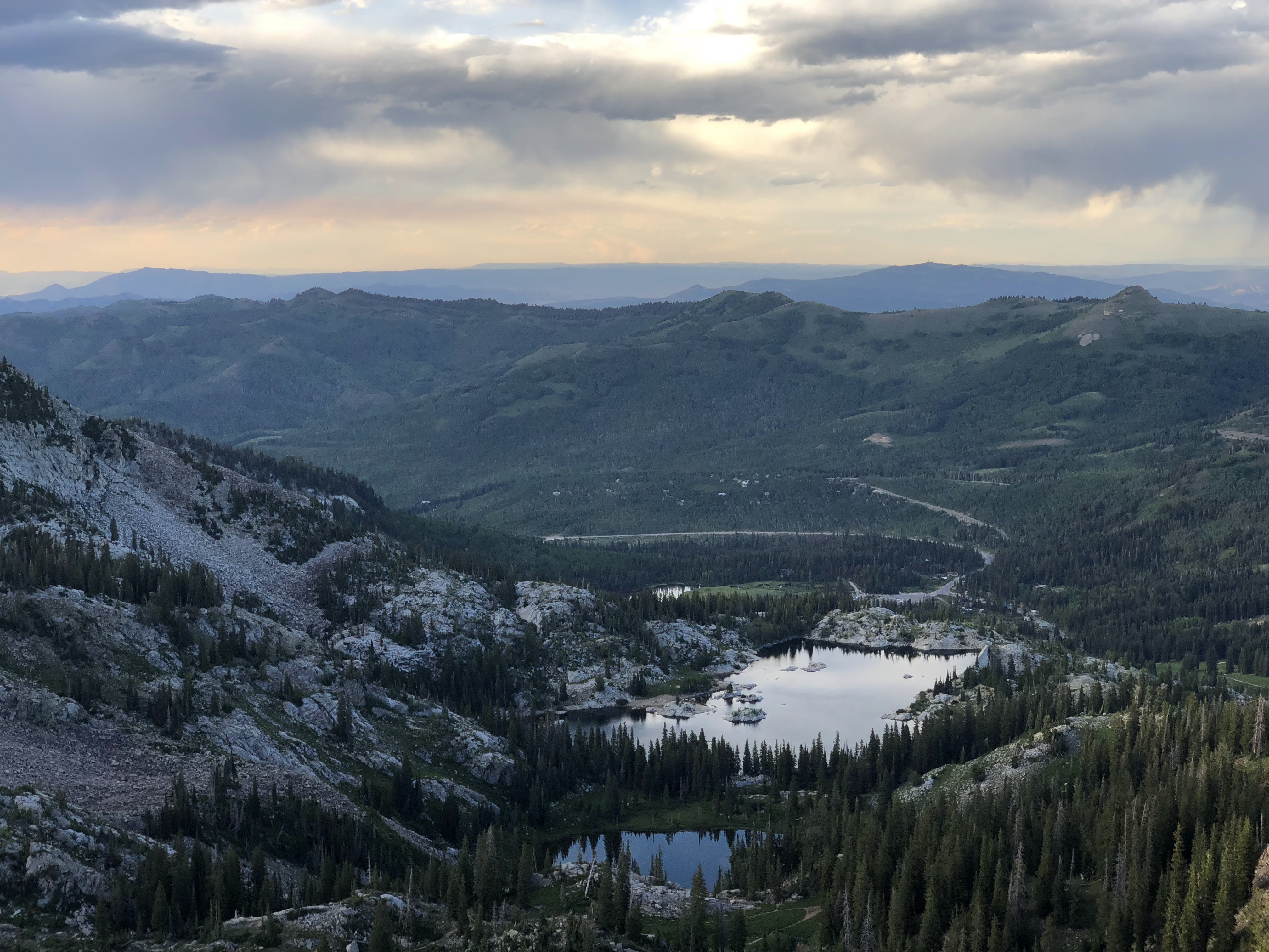
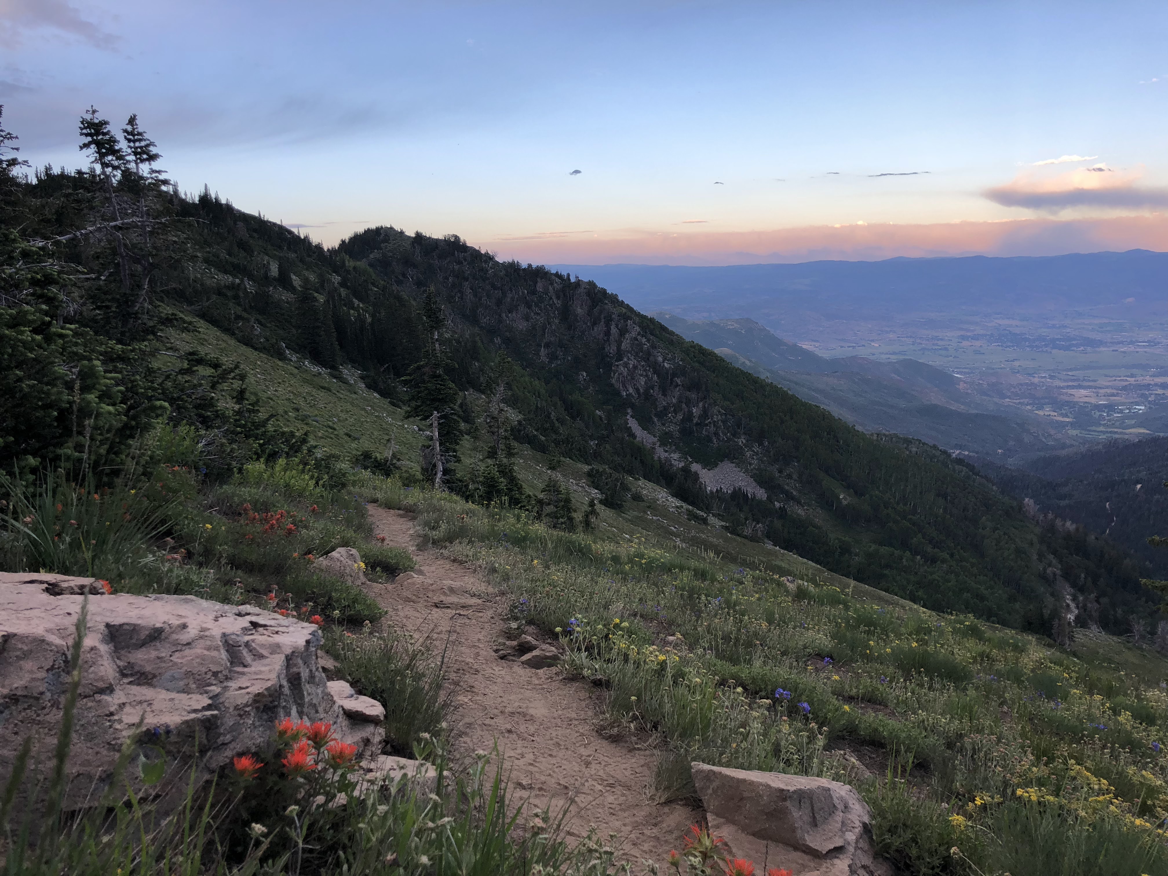
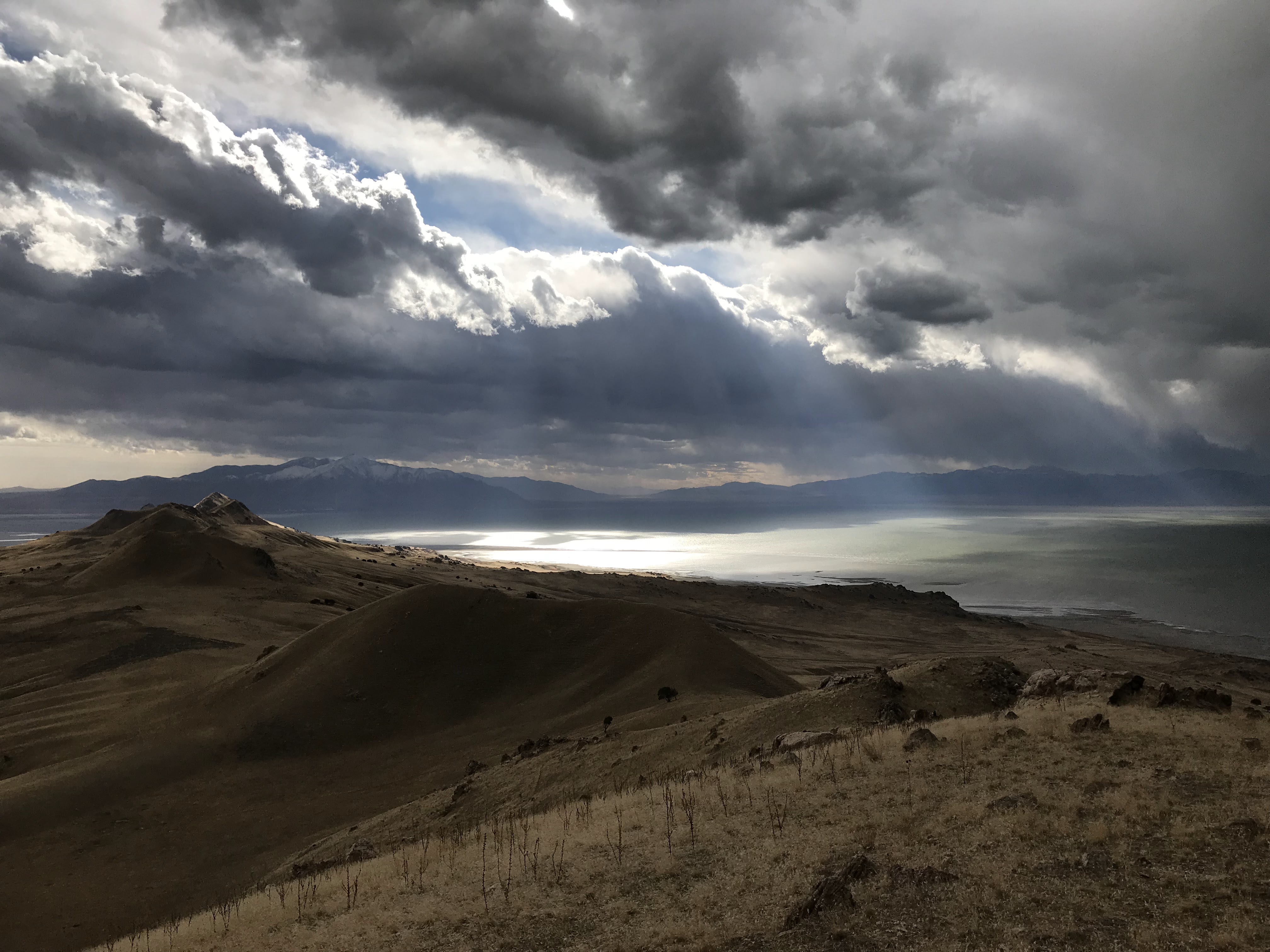
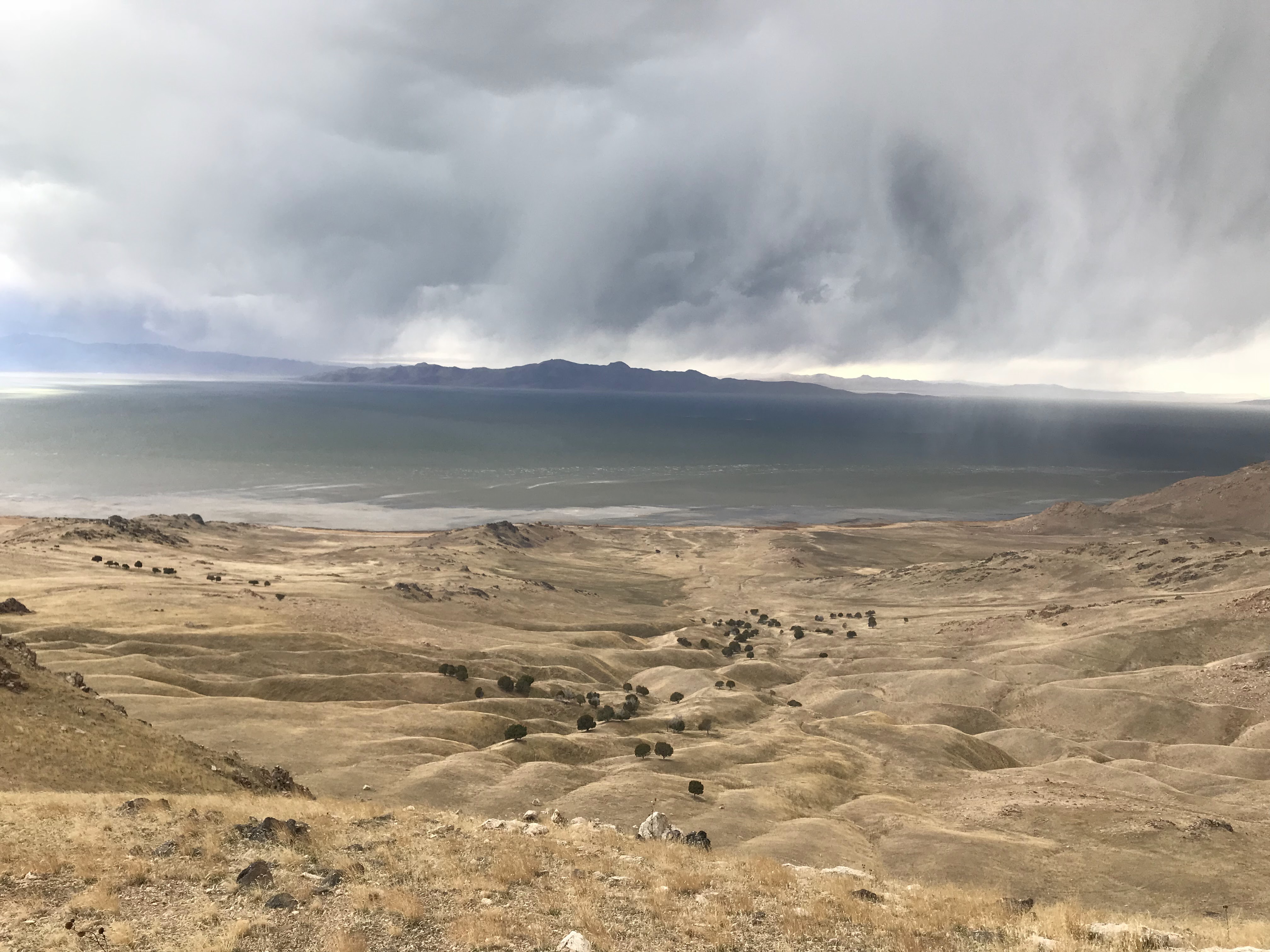
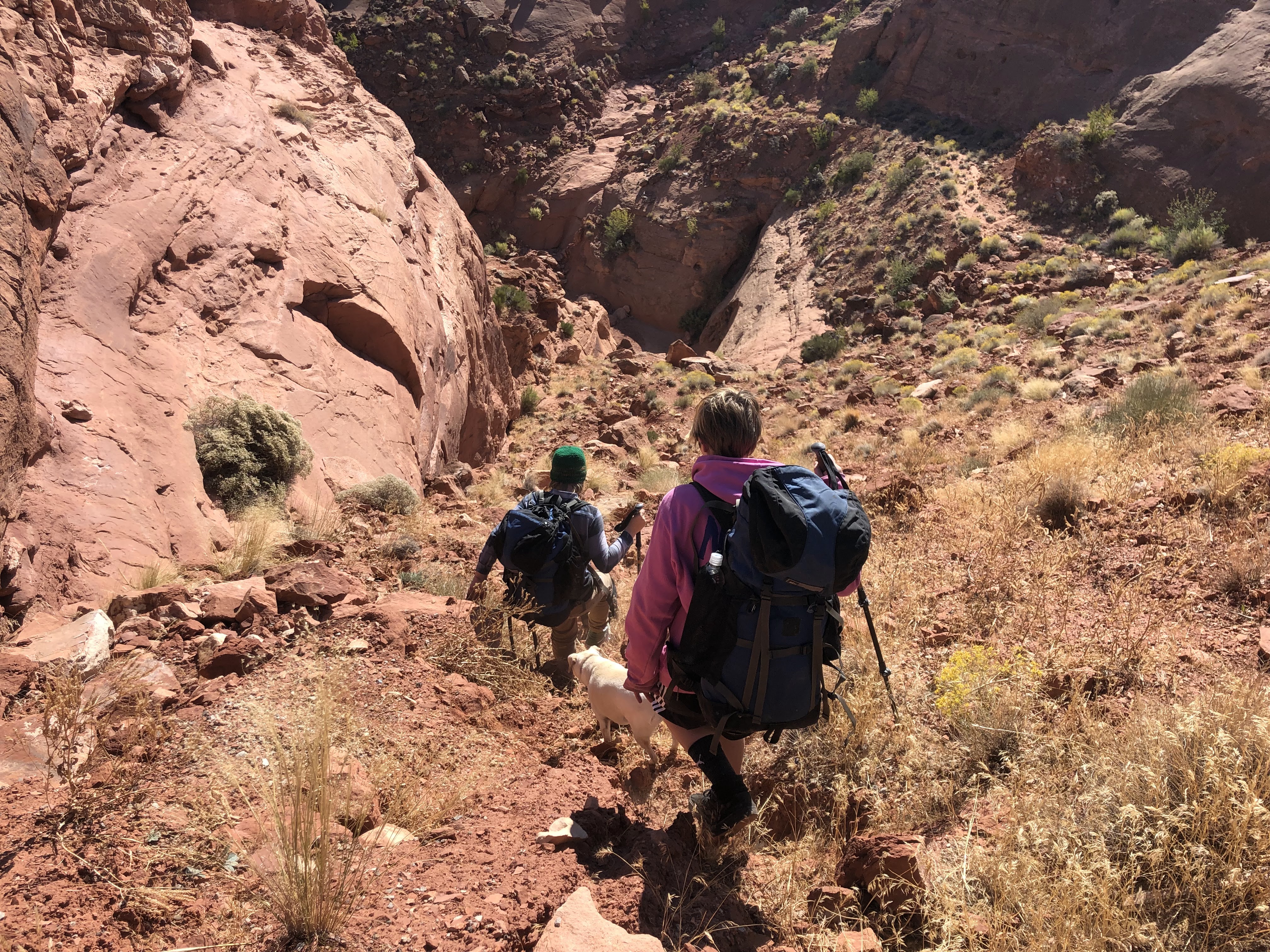
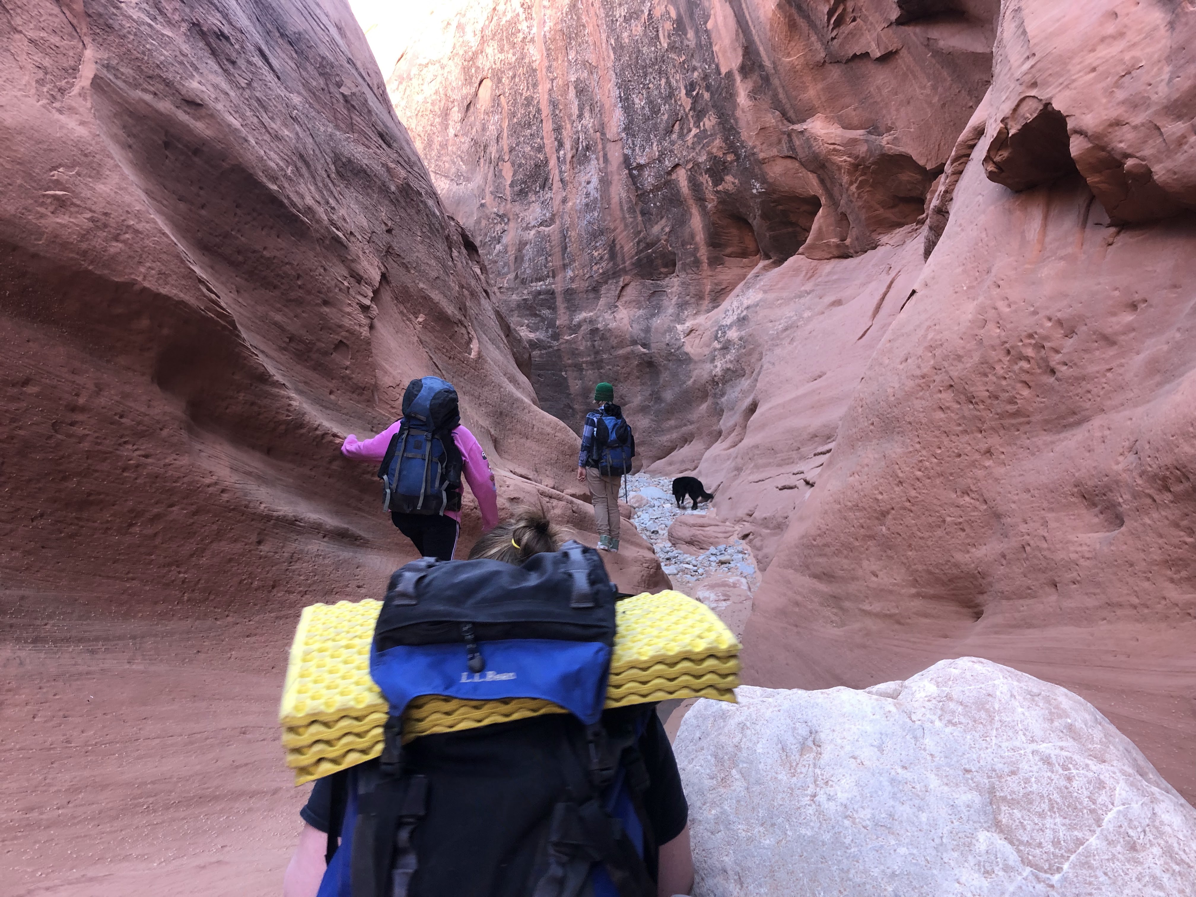
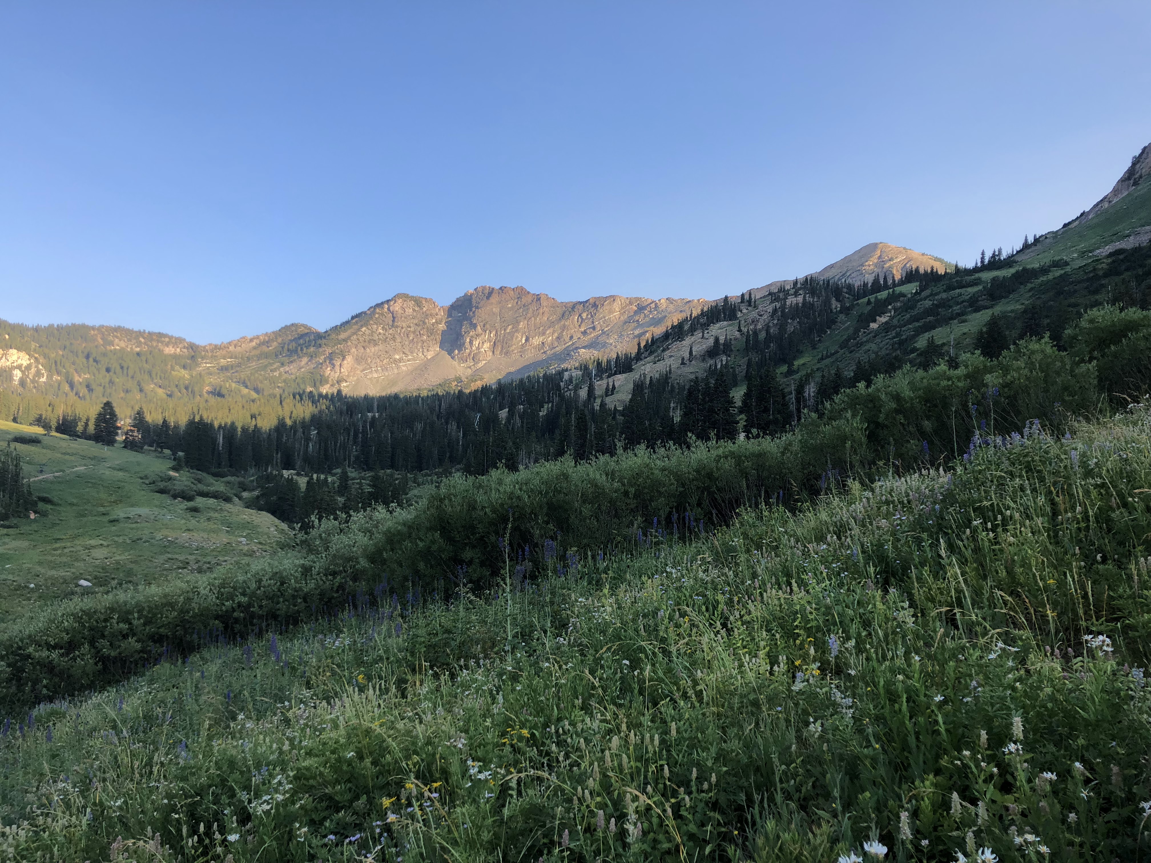
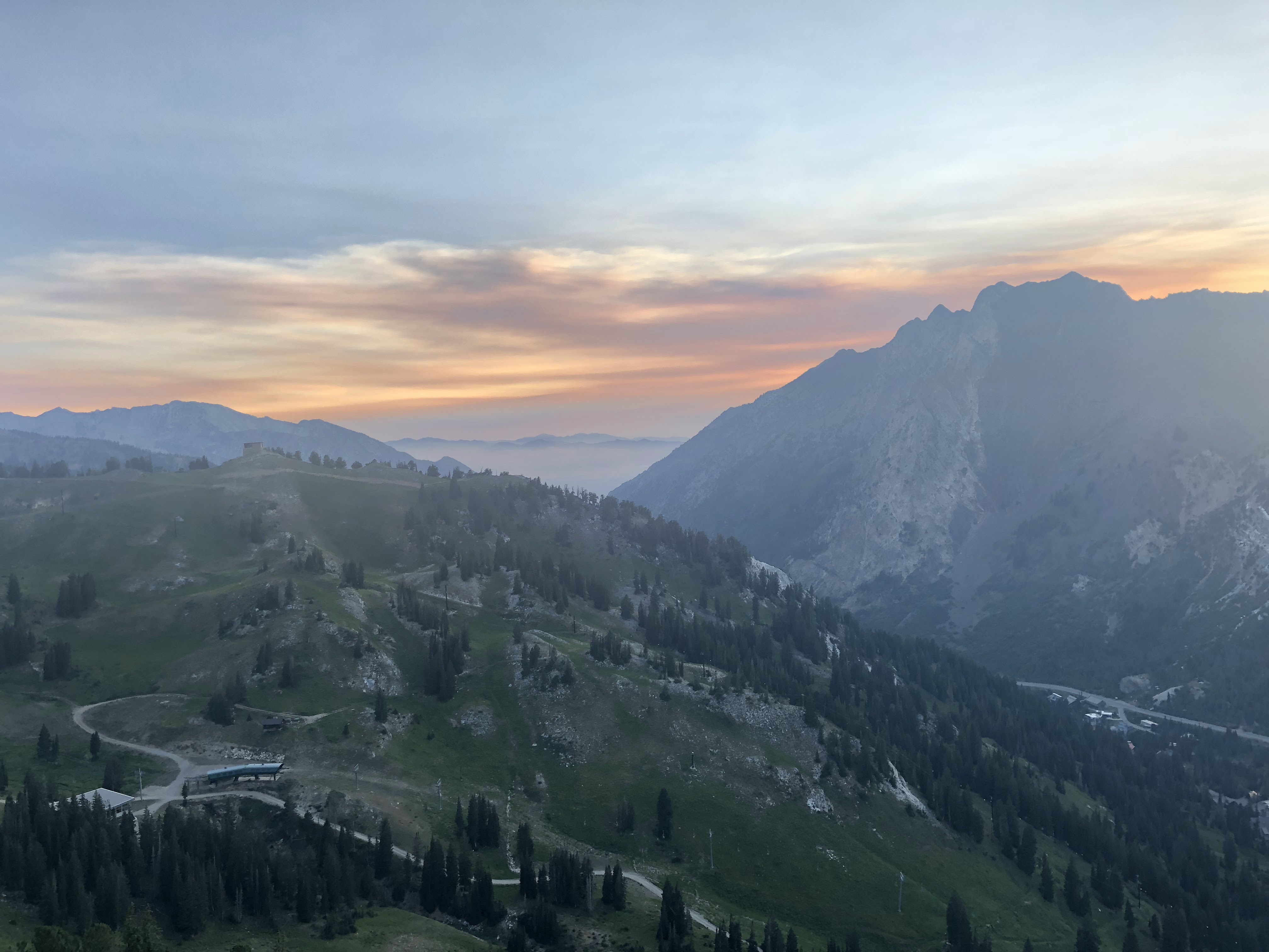
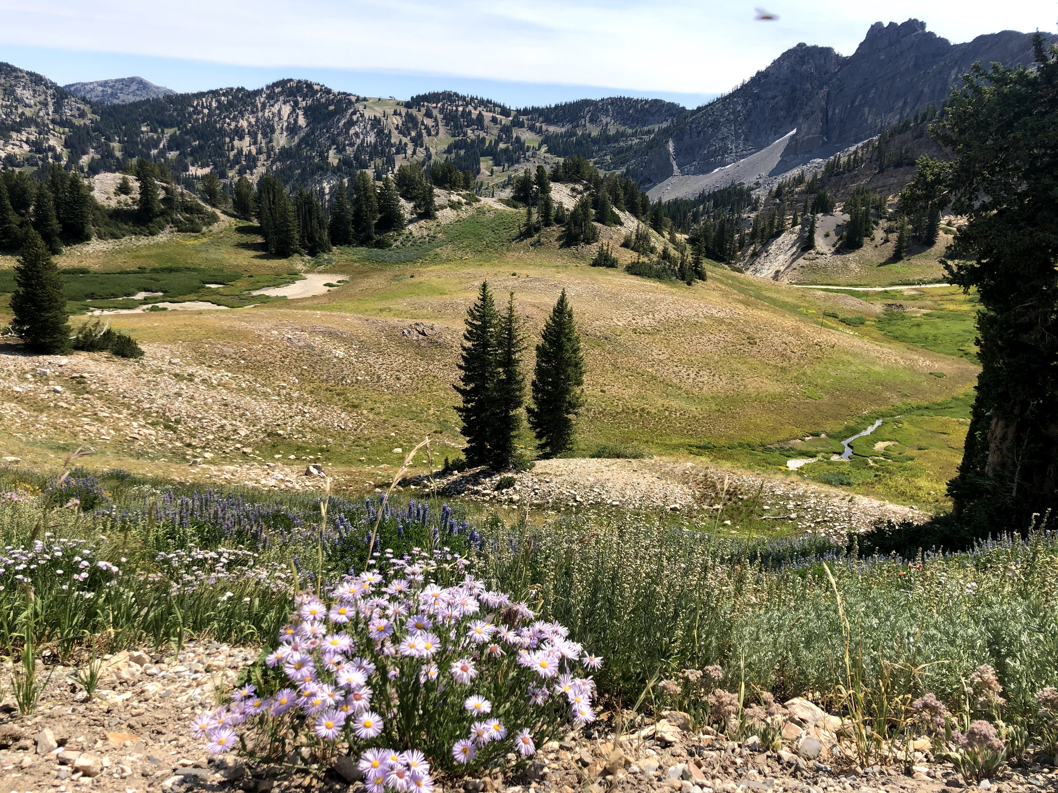
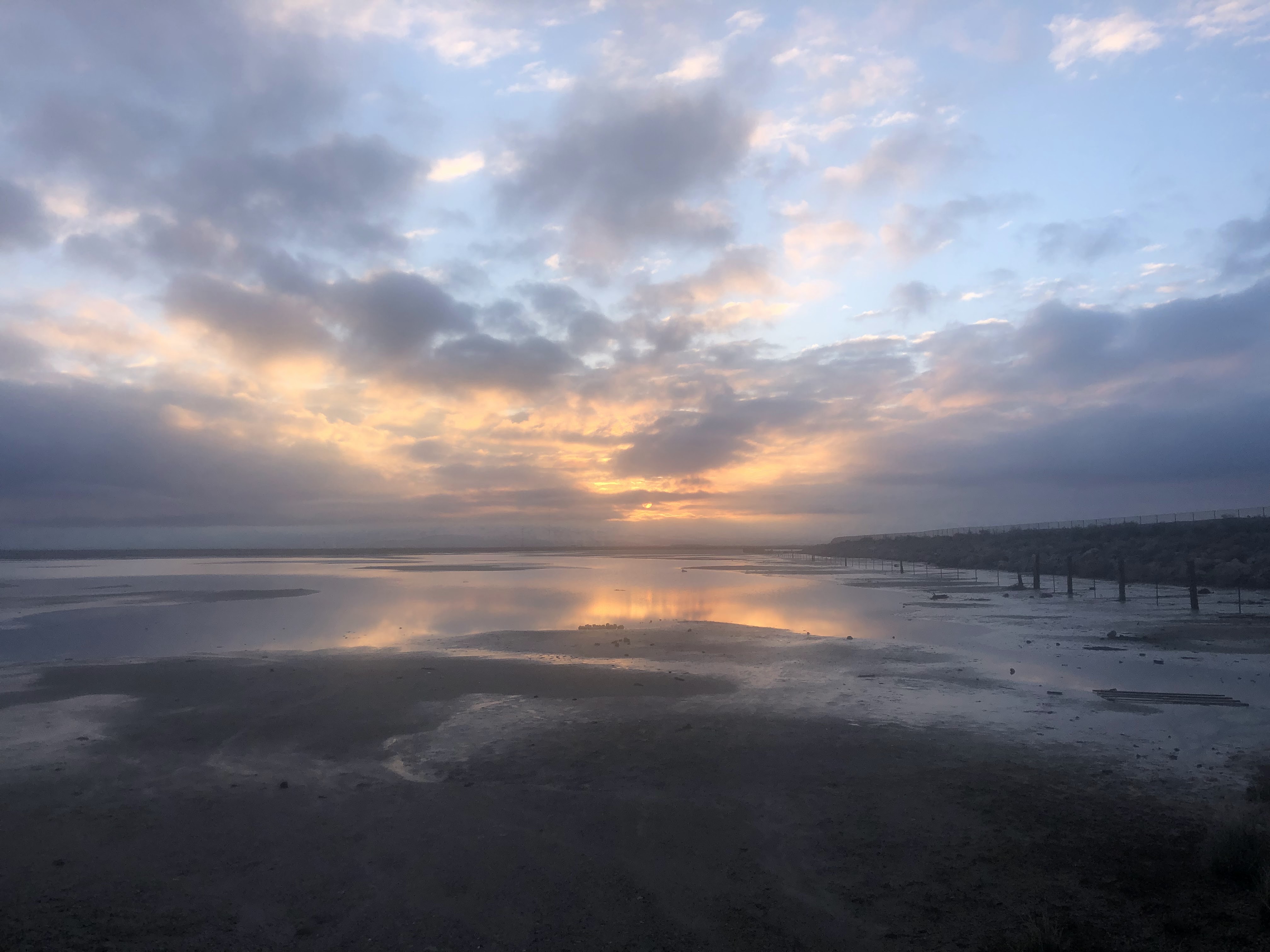
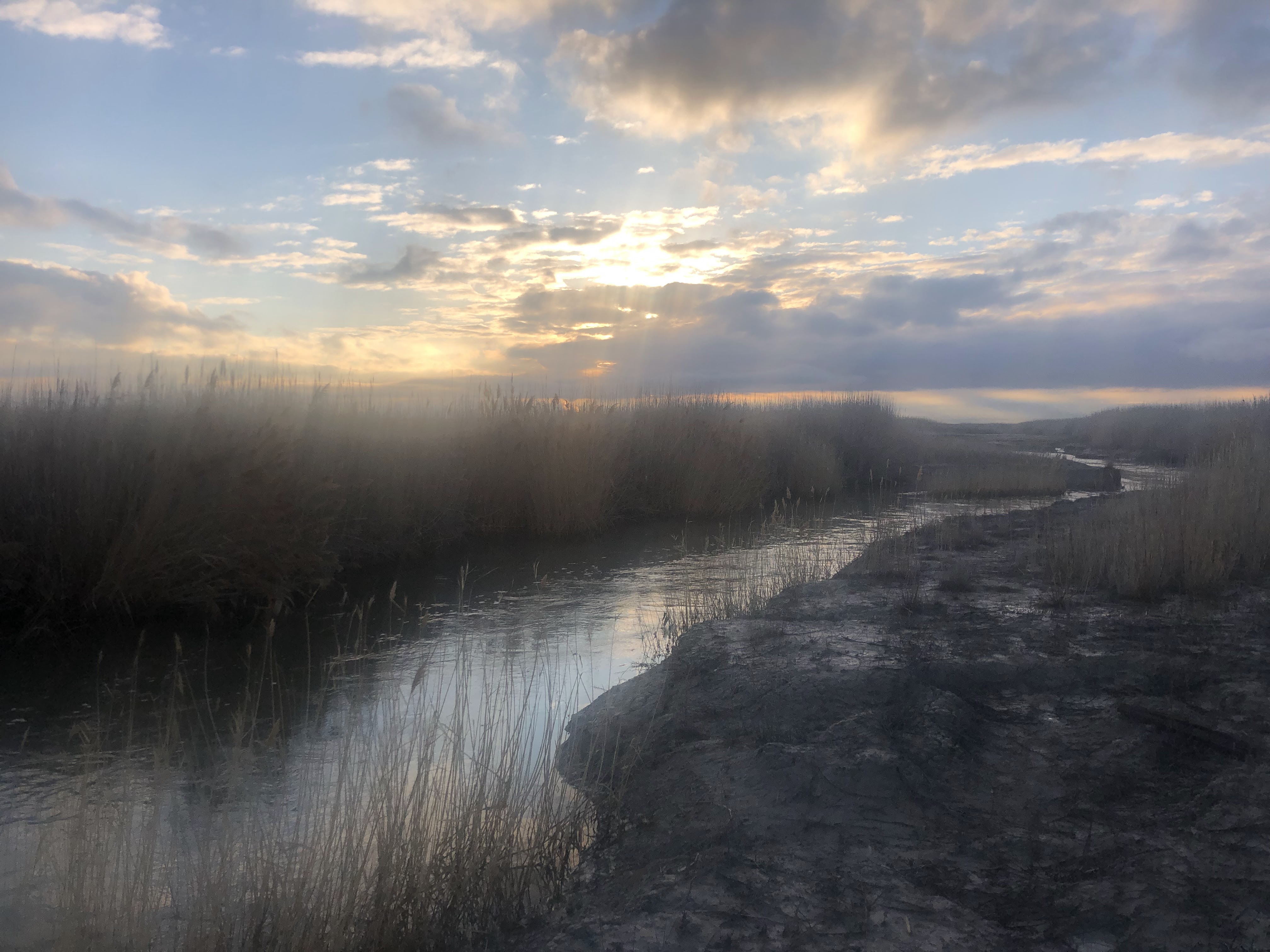
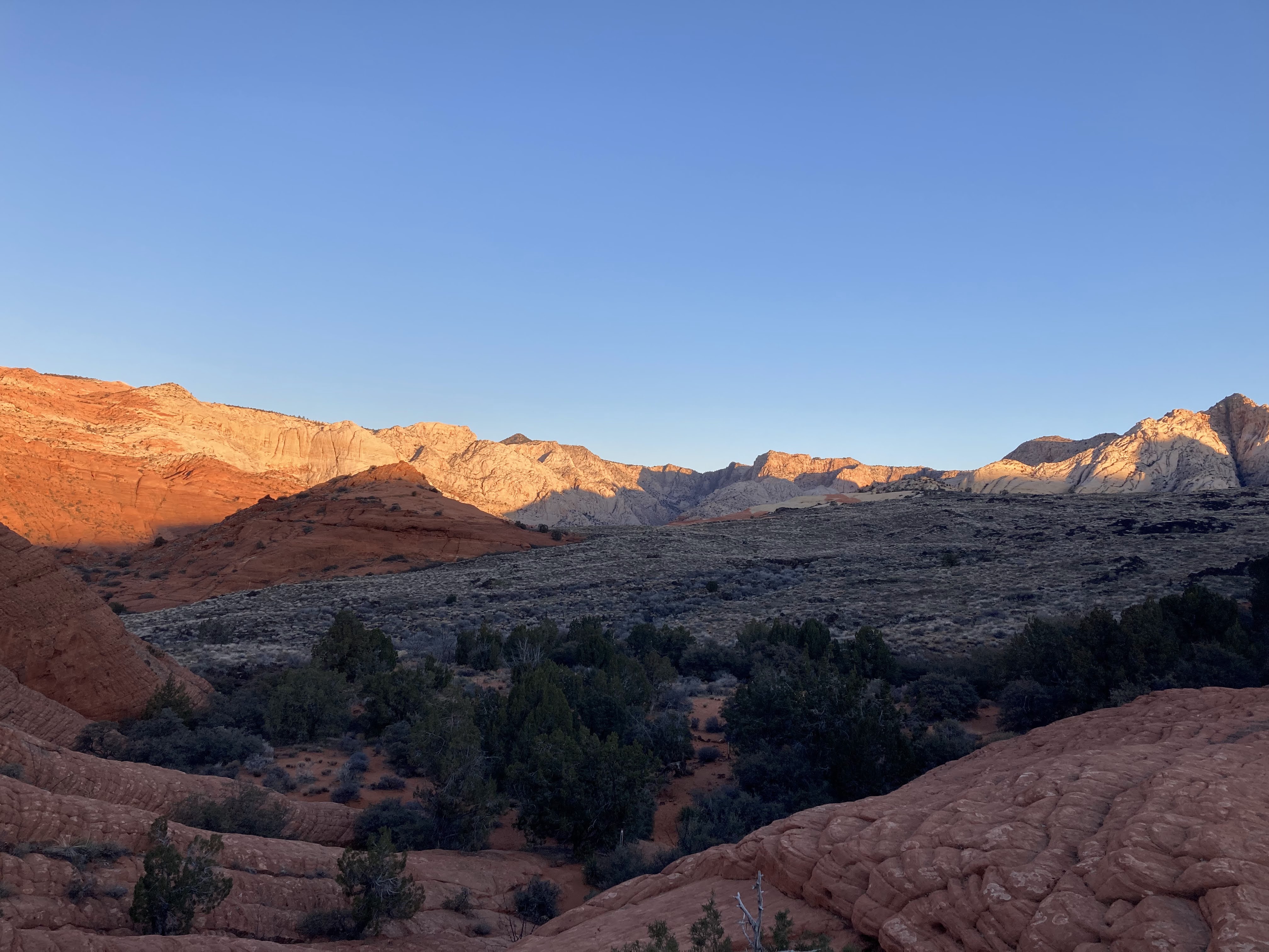
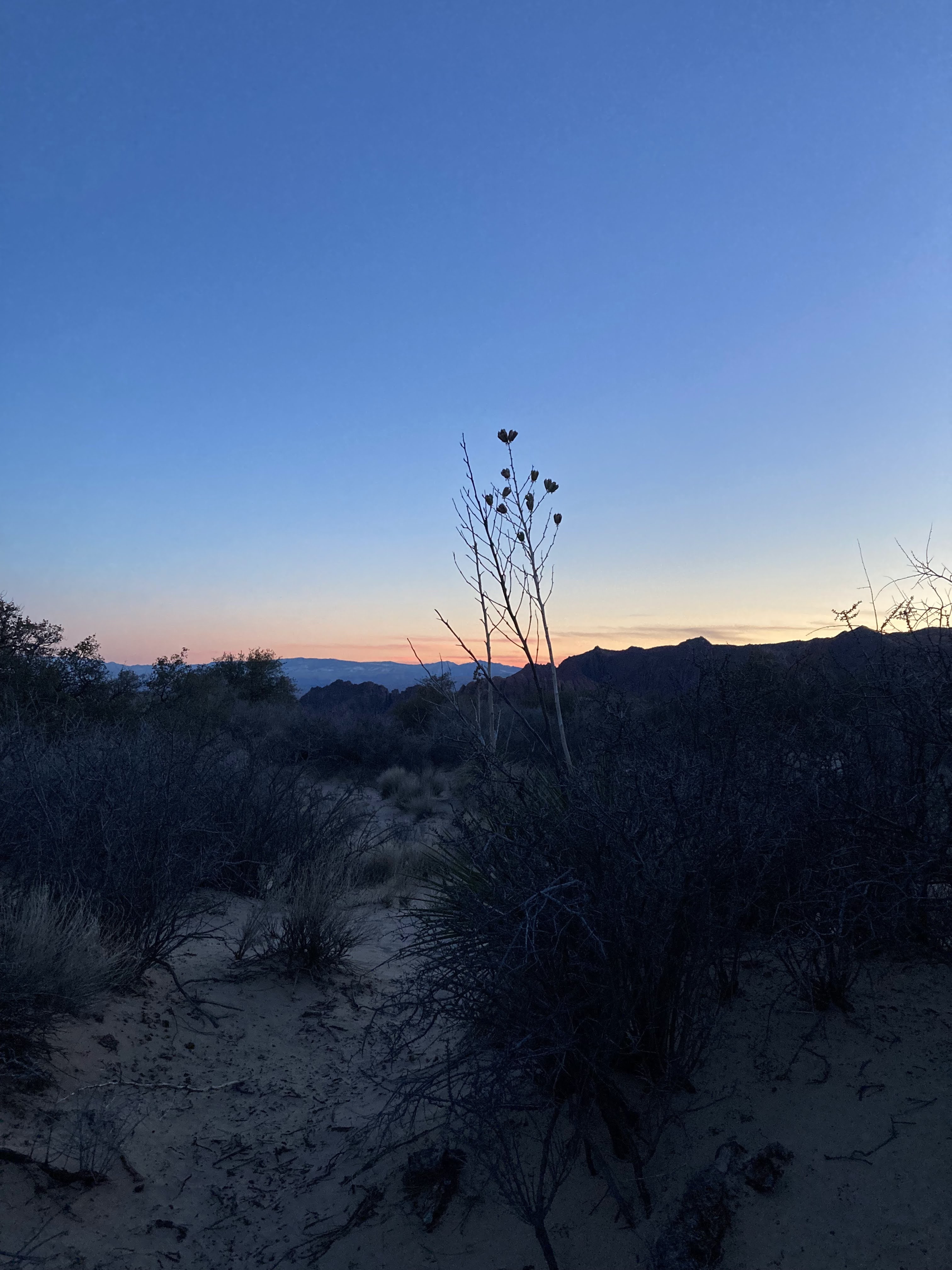
Friday night after work I drove down from Salt Lake City and arrived at my in-laws house late around 11PM. After a solid 6 hours of sleep, I woke early around 5:30AM or so. I warmed some coffee that my mother in law had left me and nabbed the PB&J sandwiches she had prepared for me. I ducked out and drove to the whiterocks trailhead arriving just after 6AM.

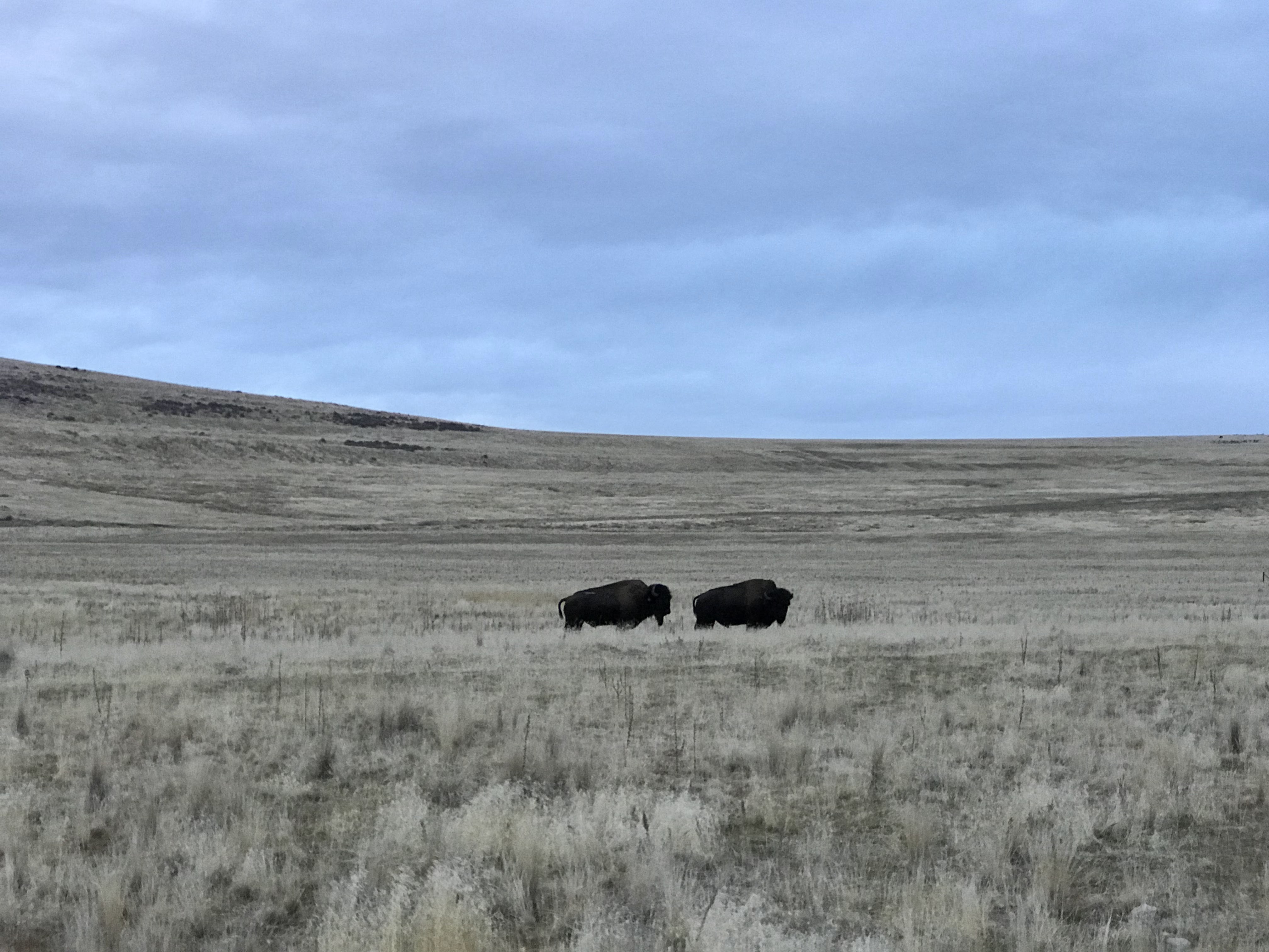
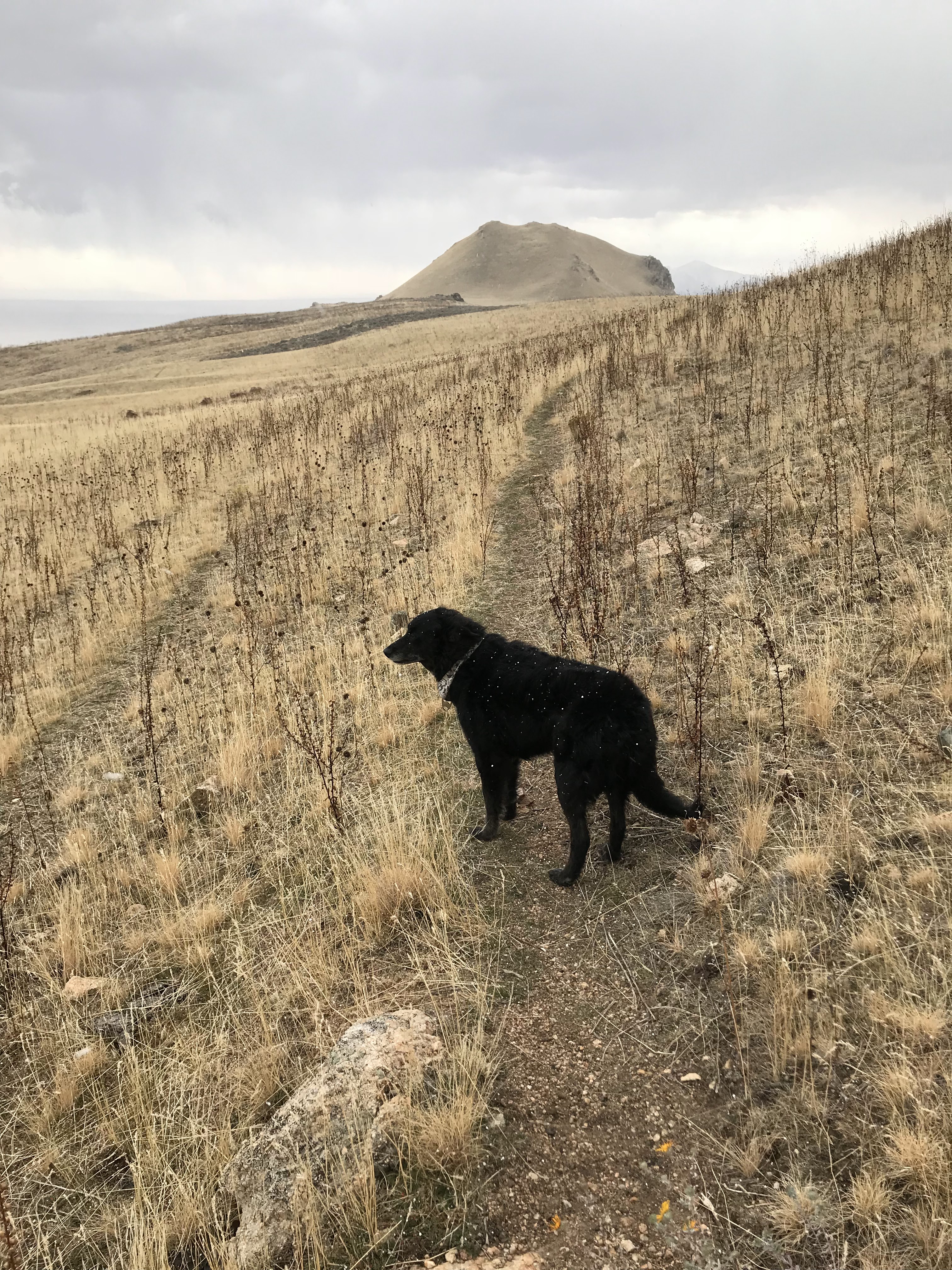
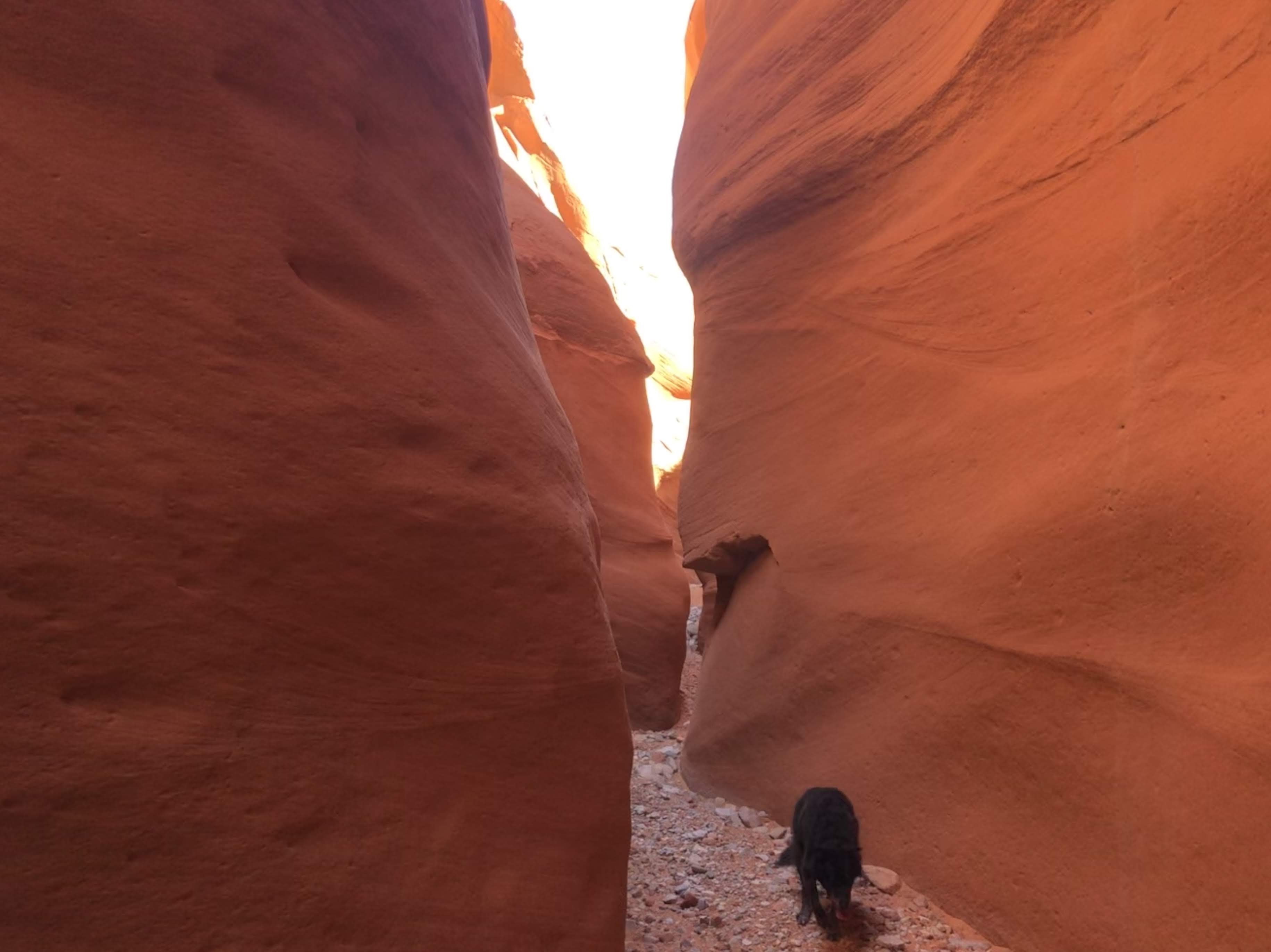
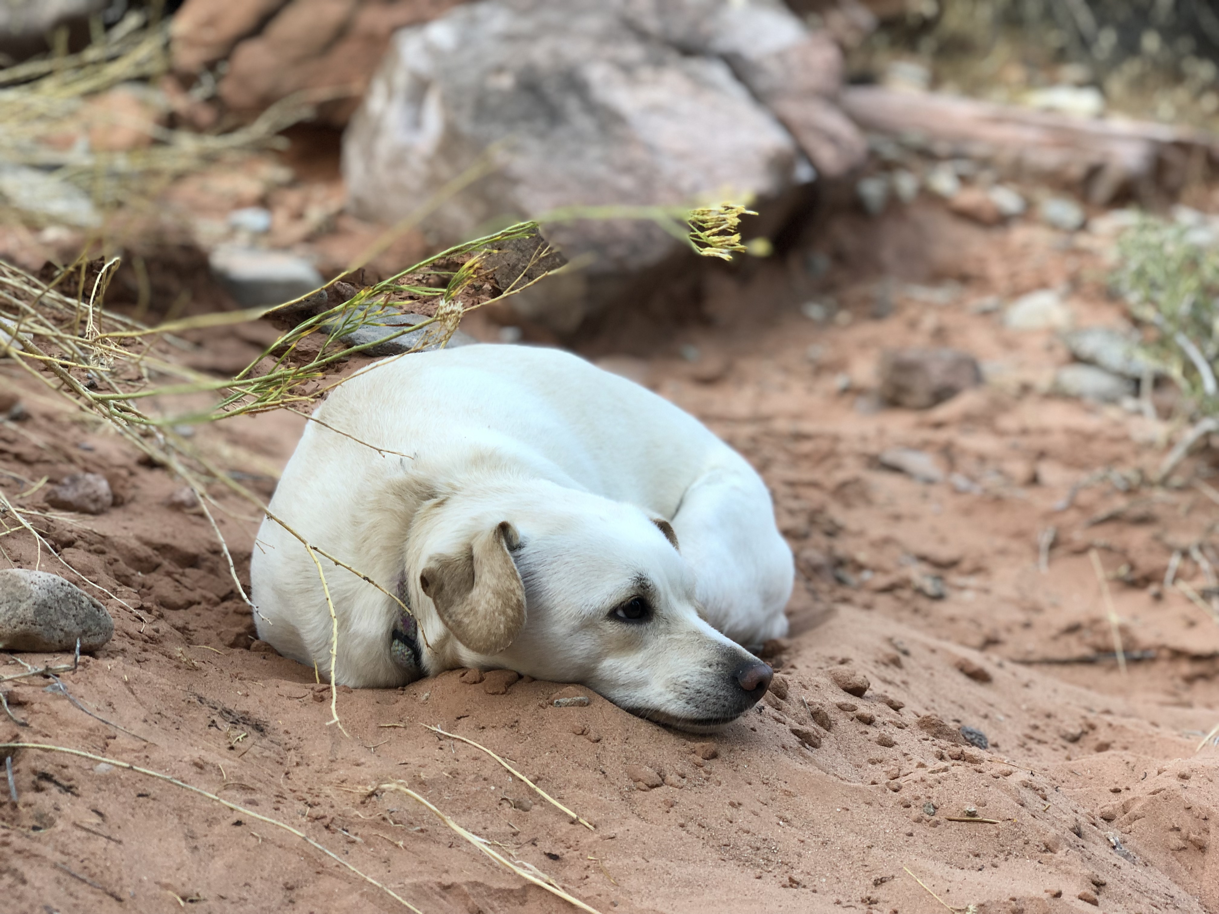
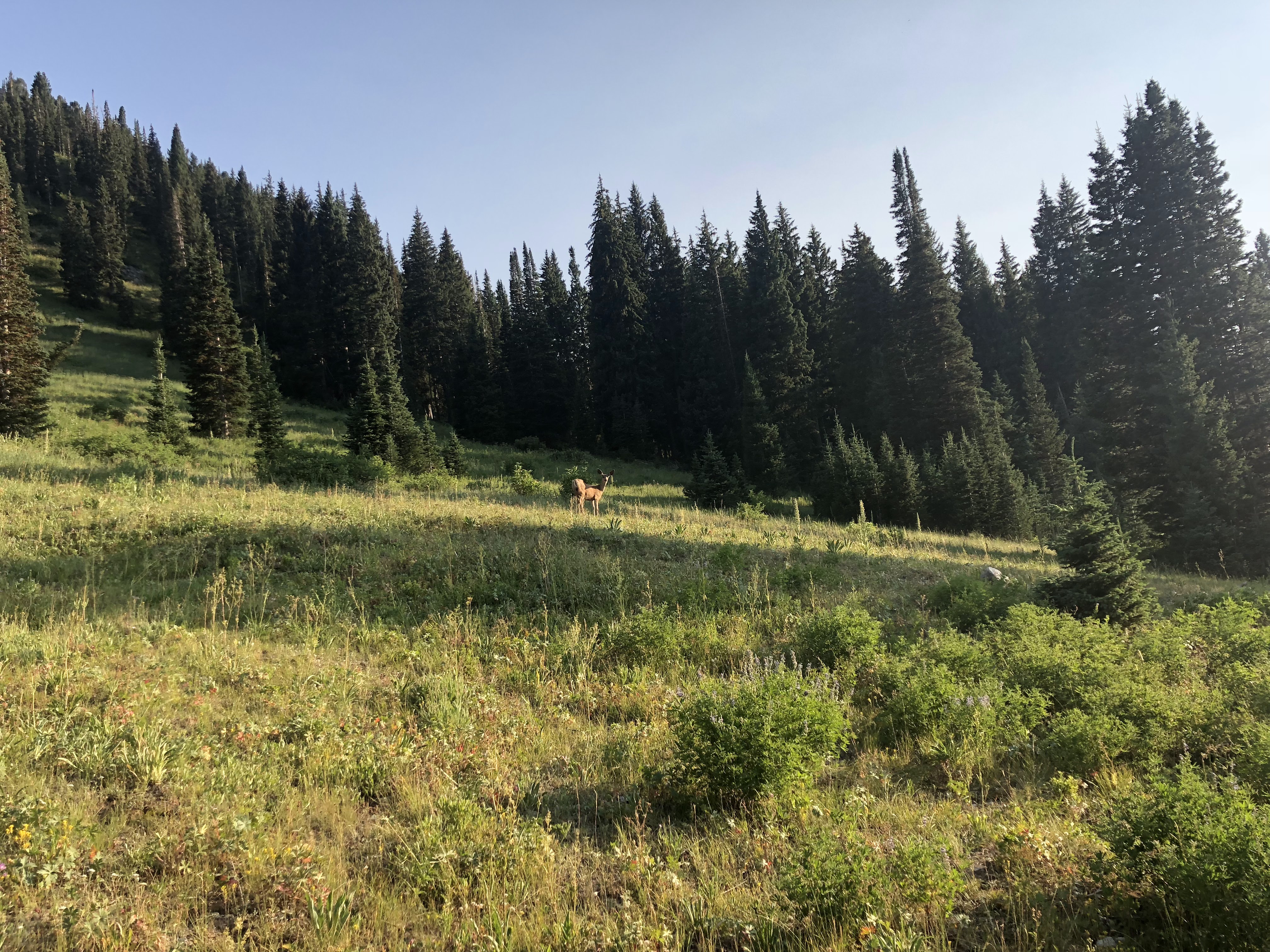
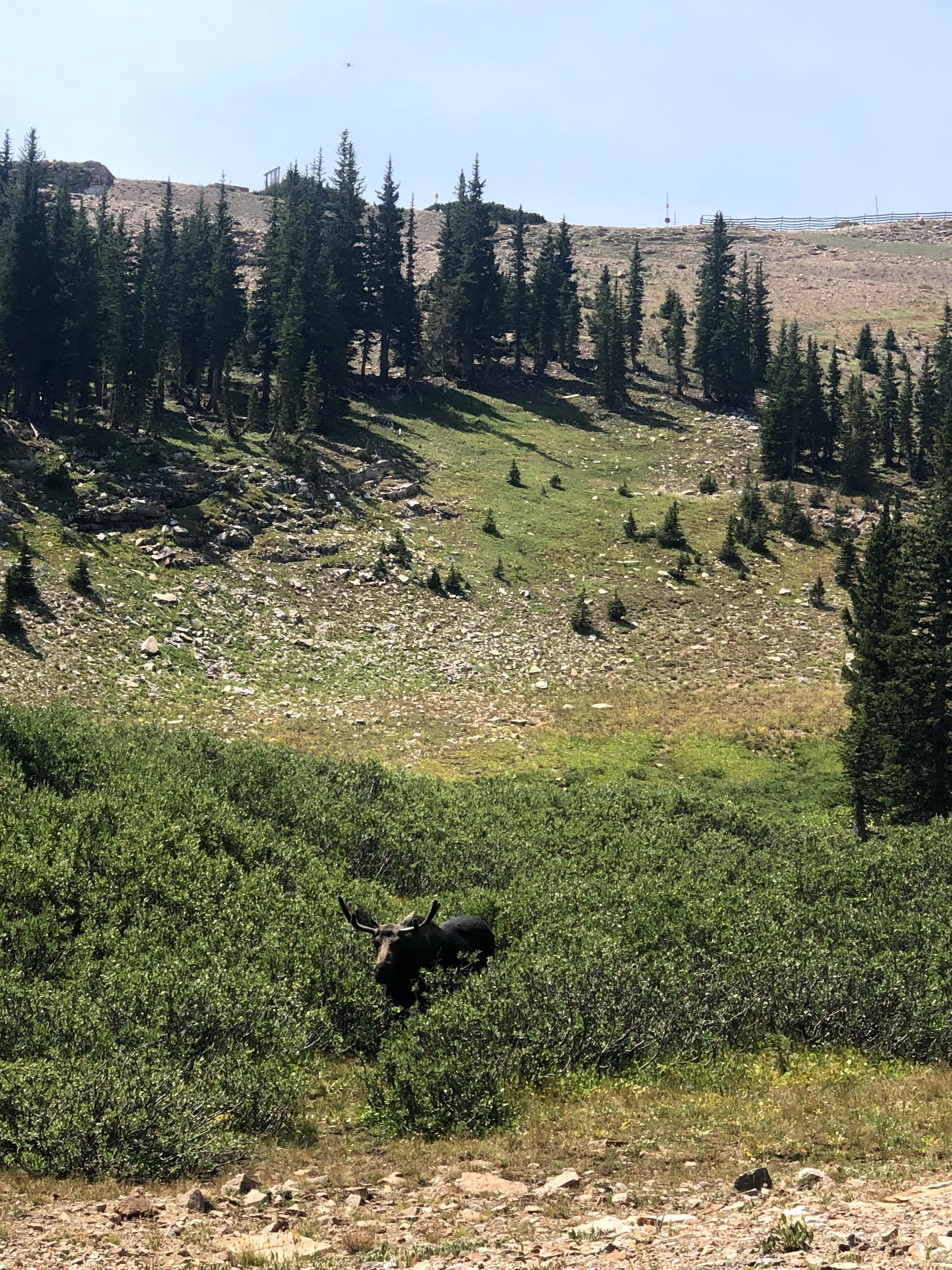
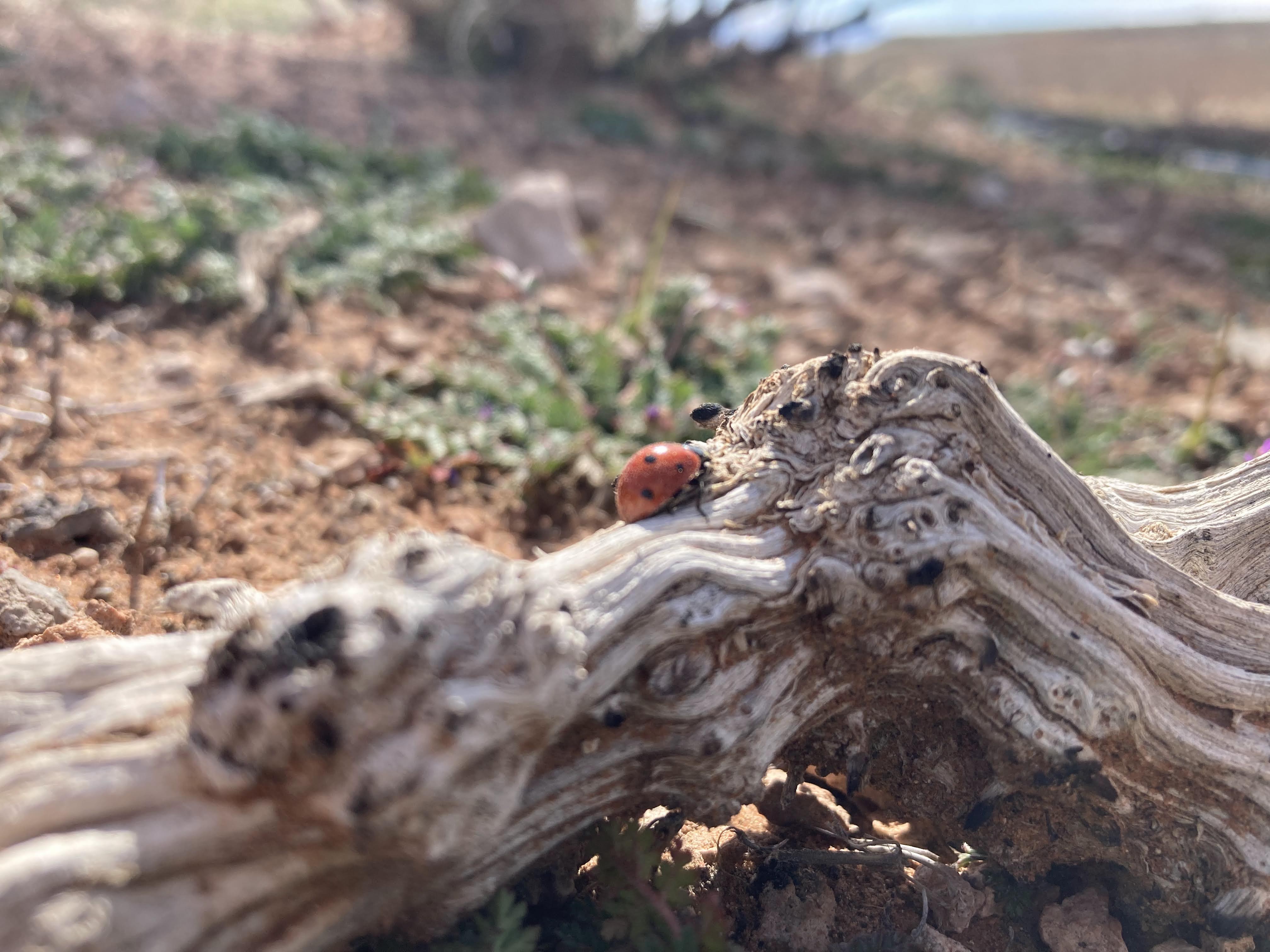
The trailhead was marked as a pay area, so I drove into the park, paid my day fee, and left my permit stub on my windshield. I organized my pack and started the trail in the dark with a headlamp my wife had given me a few weeks prior. As I walked through the early morning darkness, I heard a cooing bird in a tree just off trail. It sounded to me like the coos of a morning dove or a pigeon, but as I neared the tree I watched a large bird with a wide wingspan fly from the tree. It was clearly an owl. It flew so quickly that I was unable to snap a picture. This was the only wildlife I would spot on this trip except for some other birds, a few lizards, a rabbit, and a ladybug.

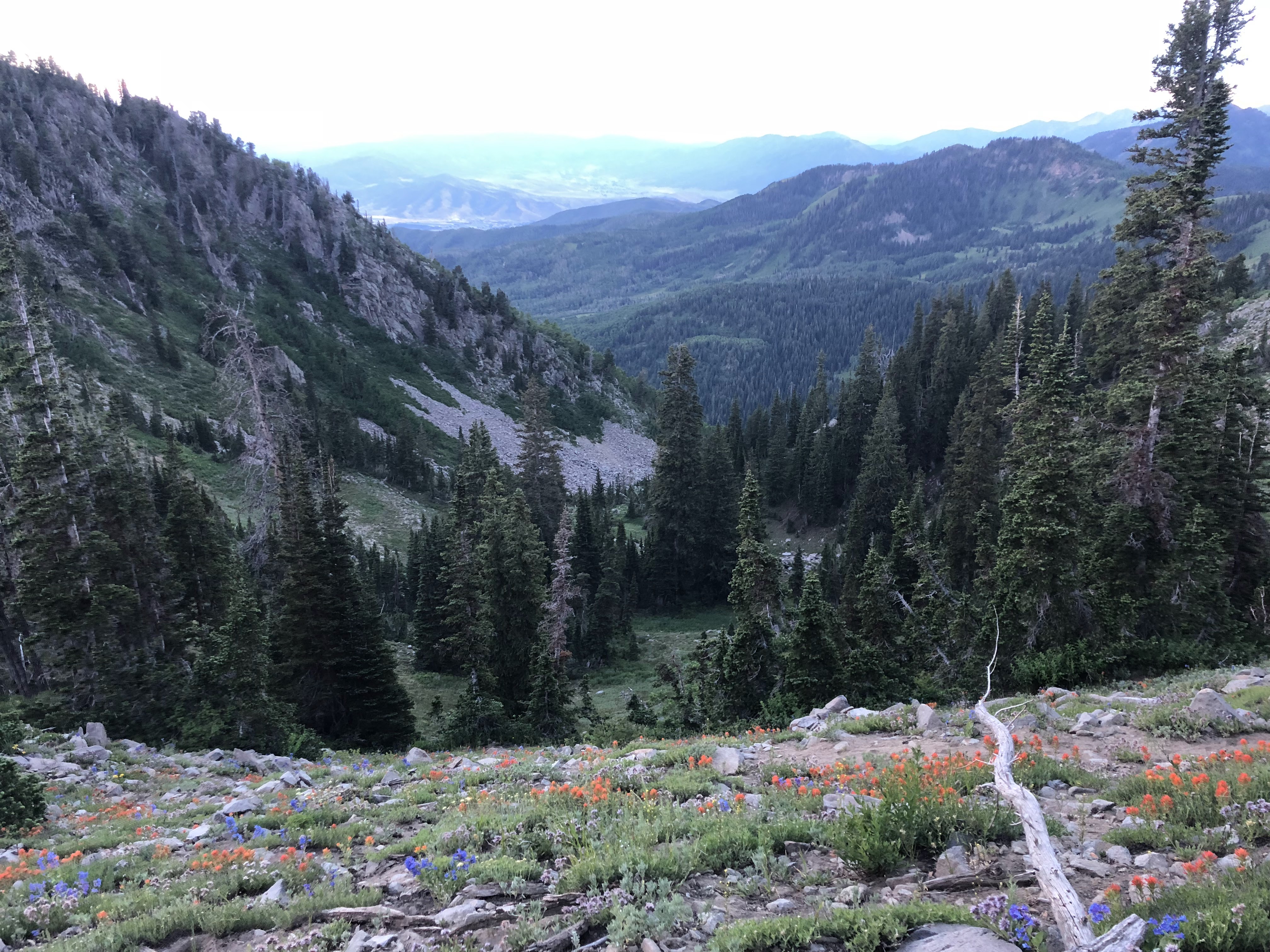
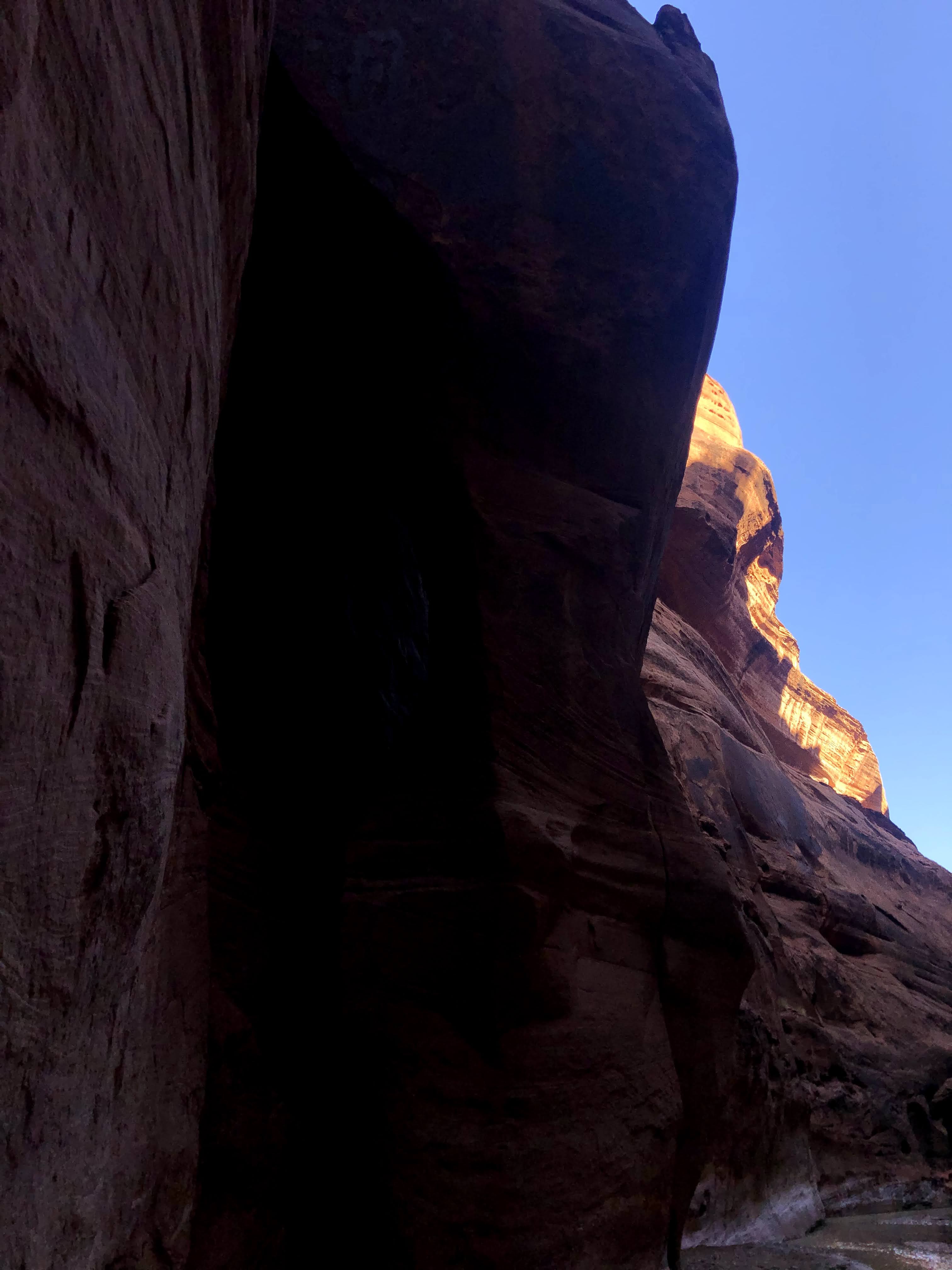
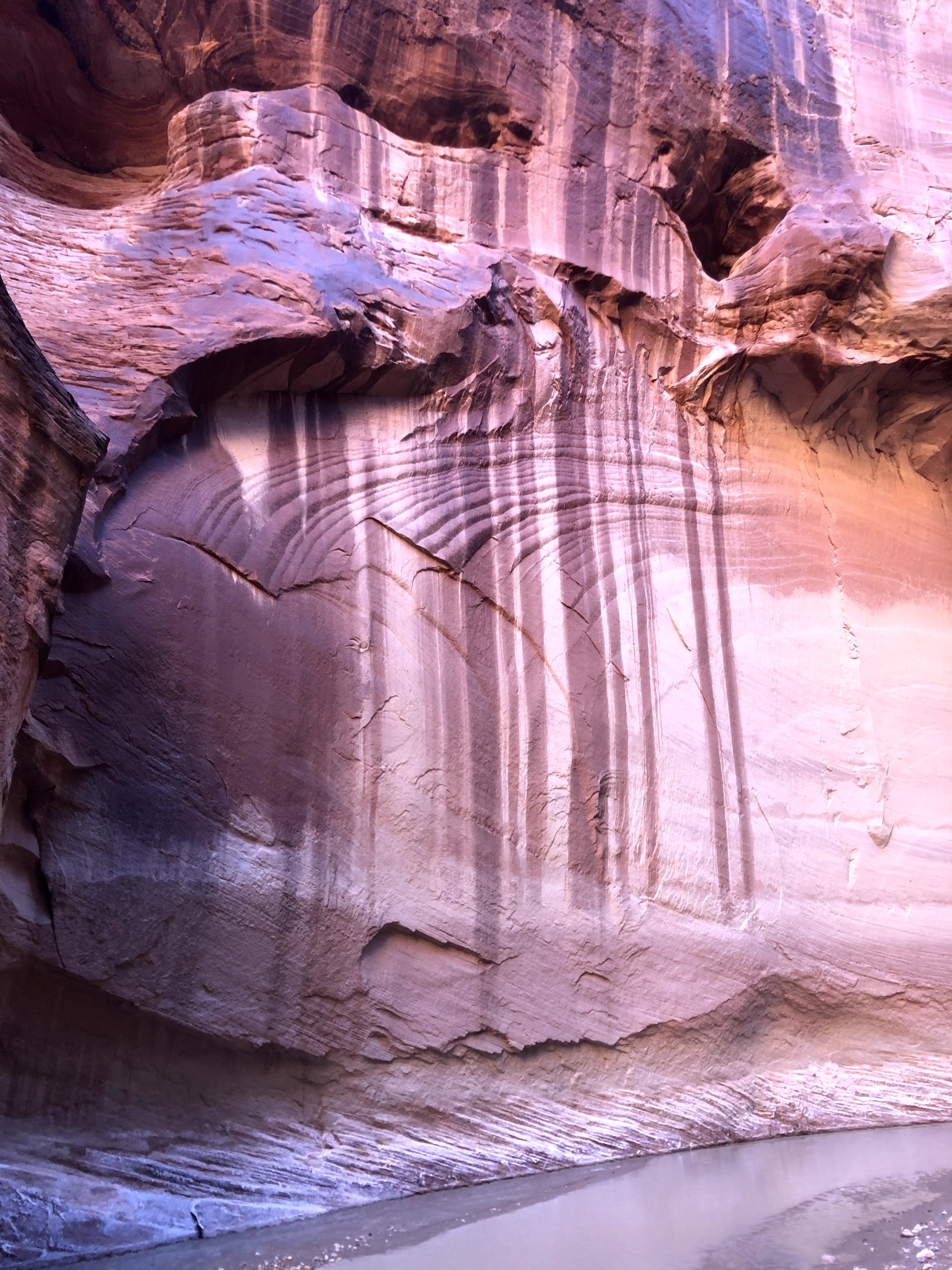
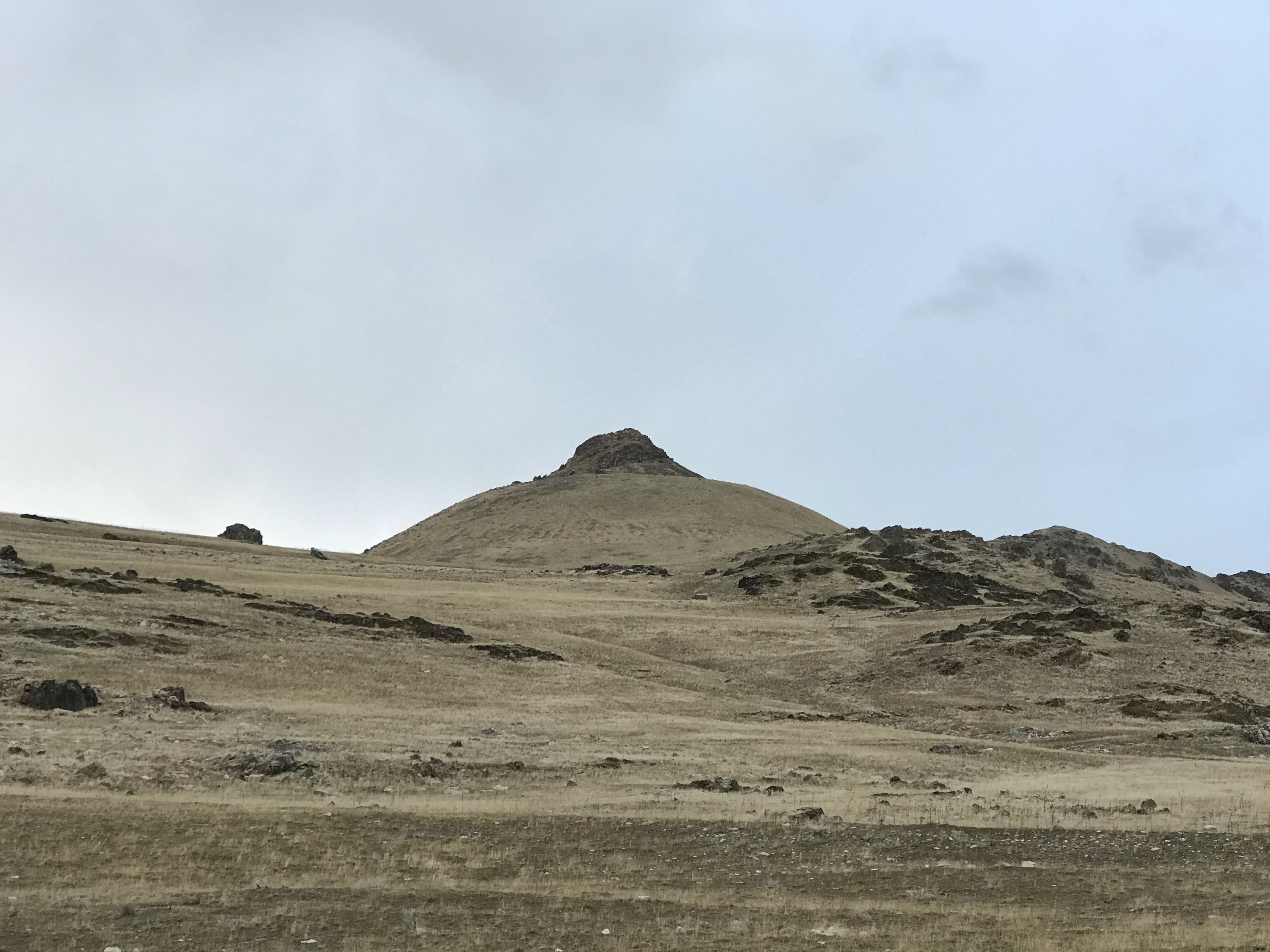
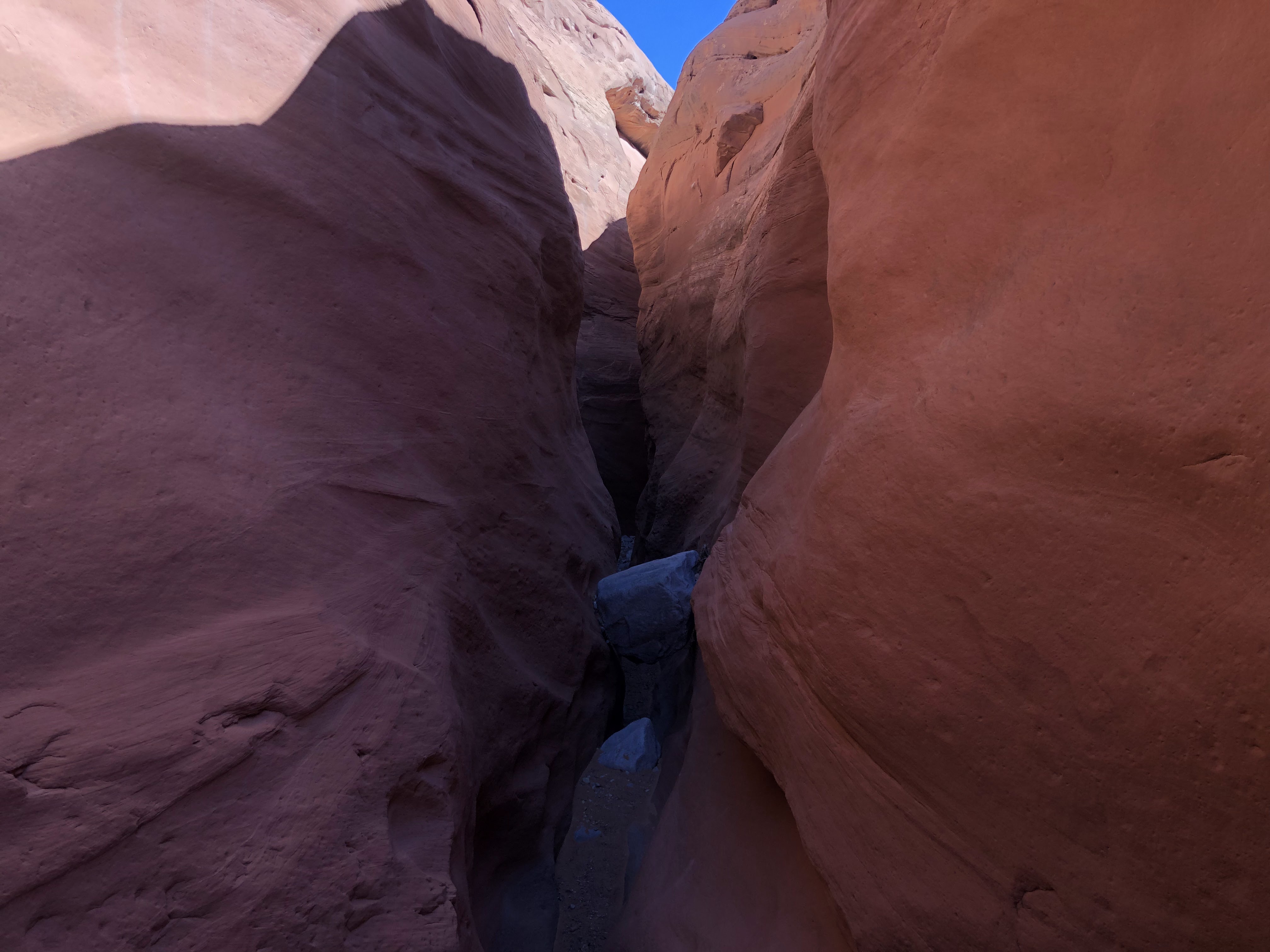
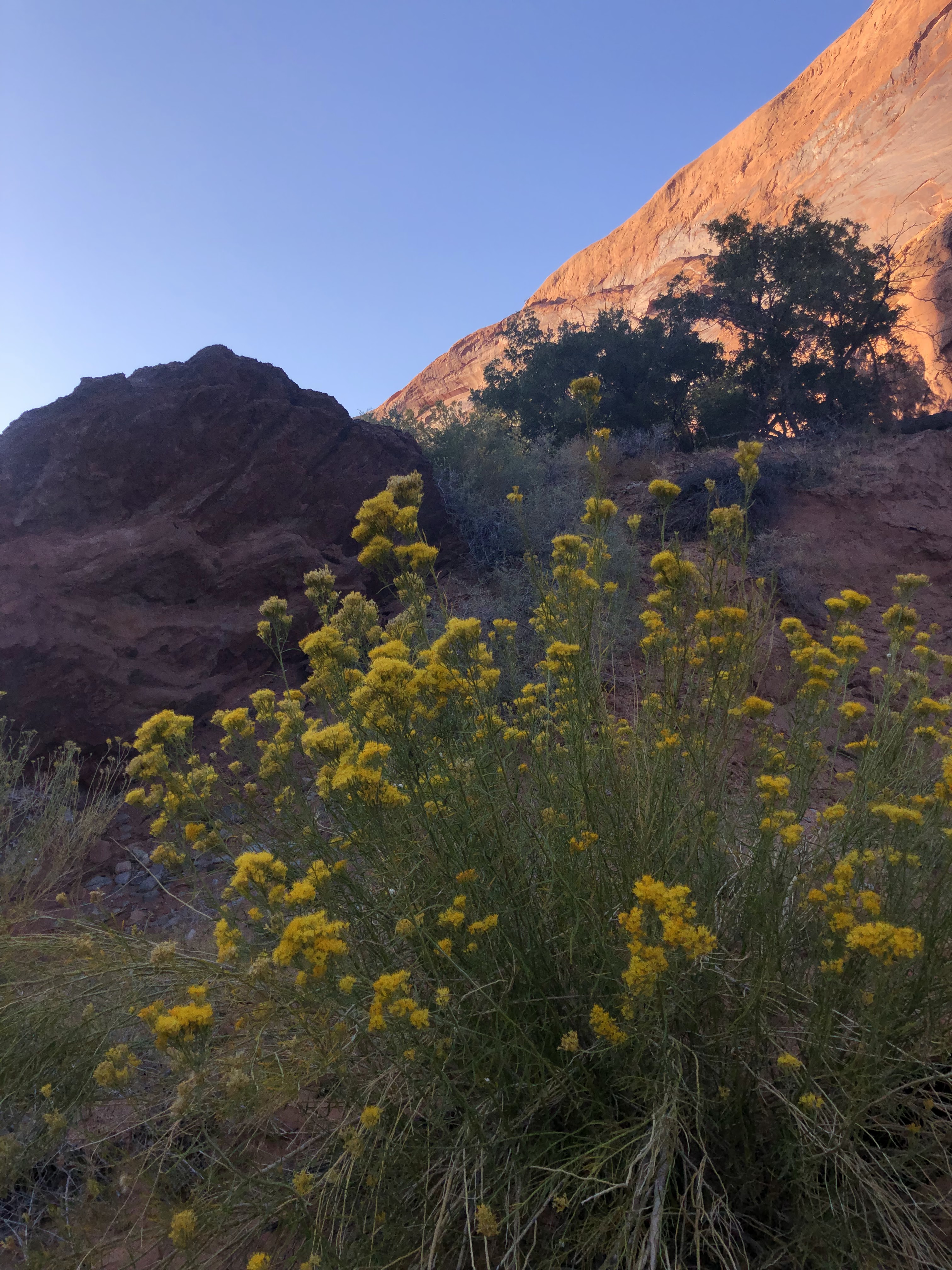
I made quick time as I connected several short trails. I was tempted to explore the lava tubes, but too eager to get some miles behind me. By the time I arrived at the petrified dunes segment, I encountered the first humans including a couple of day hikers and a group of dancers on top of the petrified dune filming themselves and enjoying the golden hour of lighting.

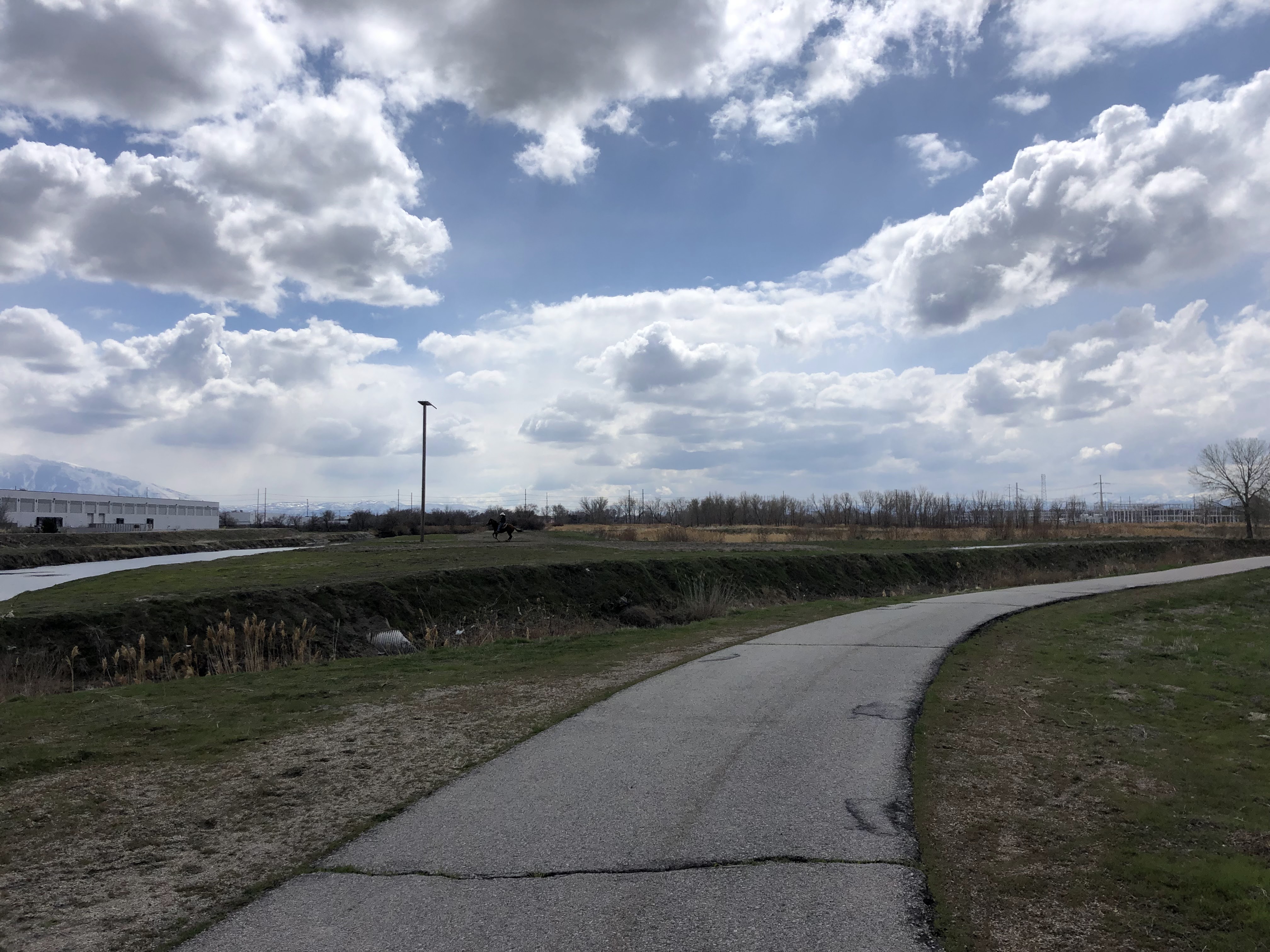
I sped through the park, soon reaching the paved whiptail trail which allowed me to speed through miles of trail. I contemplated a better alternative to this trail would be to complete it in reverse. This easy section of hiking would be a nicer way to end the hike. I plowed through the paved trail and recognize the sand dunes and jenny’s canyon trailhead across the main road. I had visited this area with my family when my children were younger.

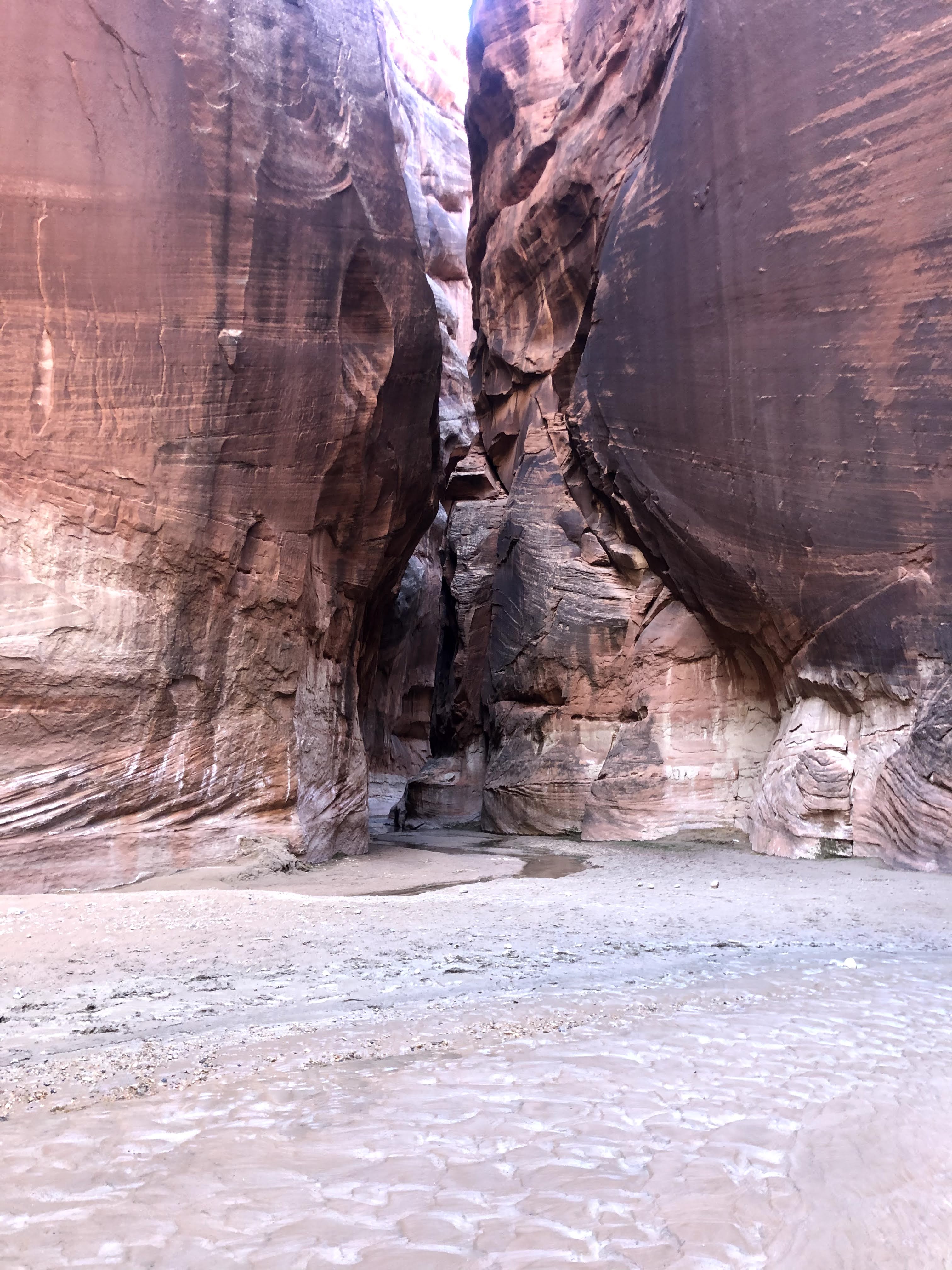
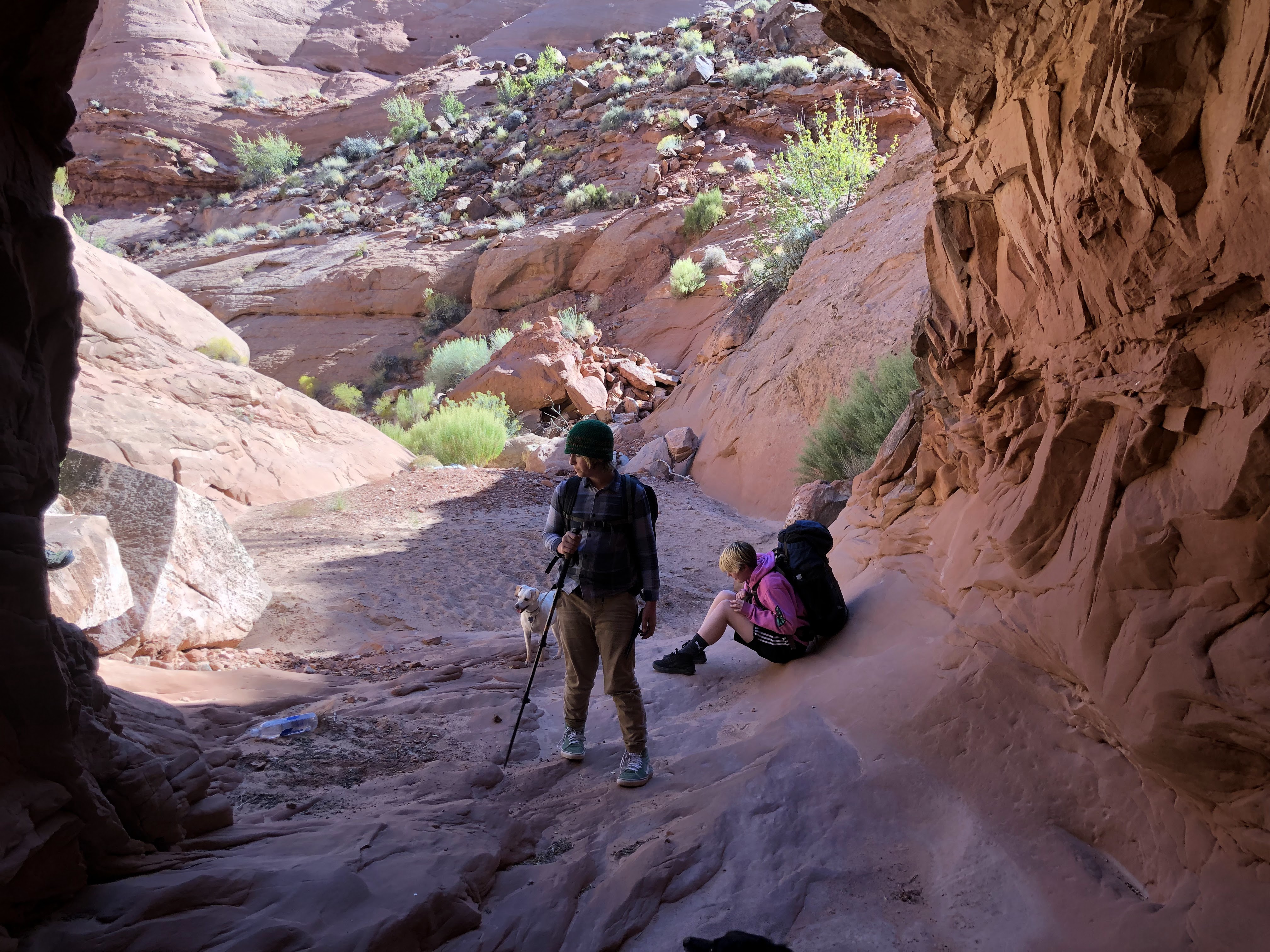
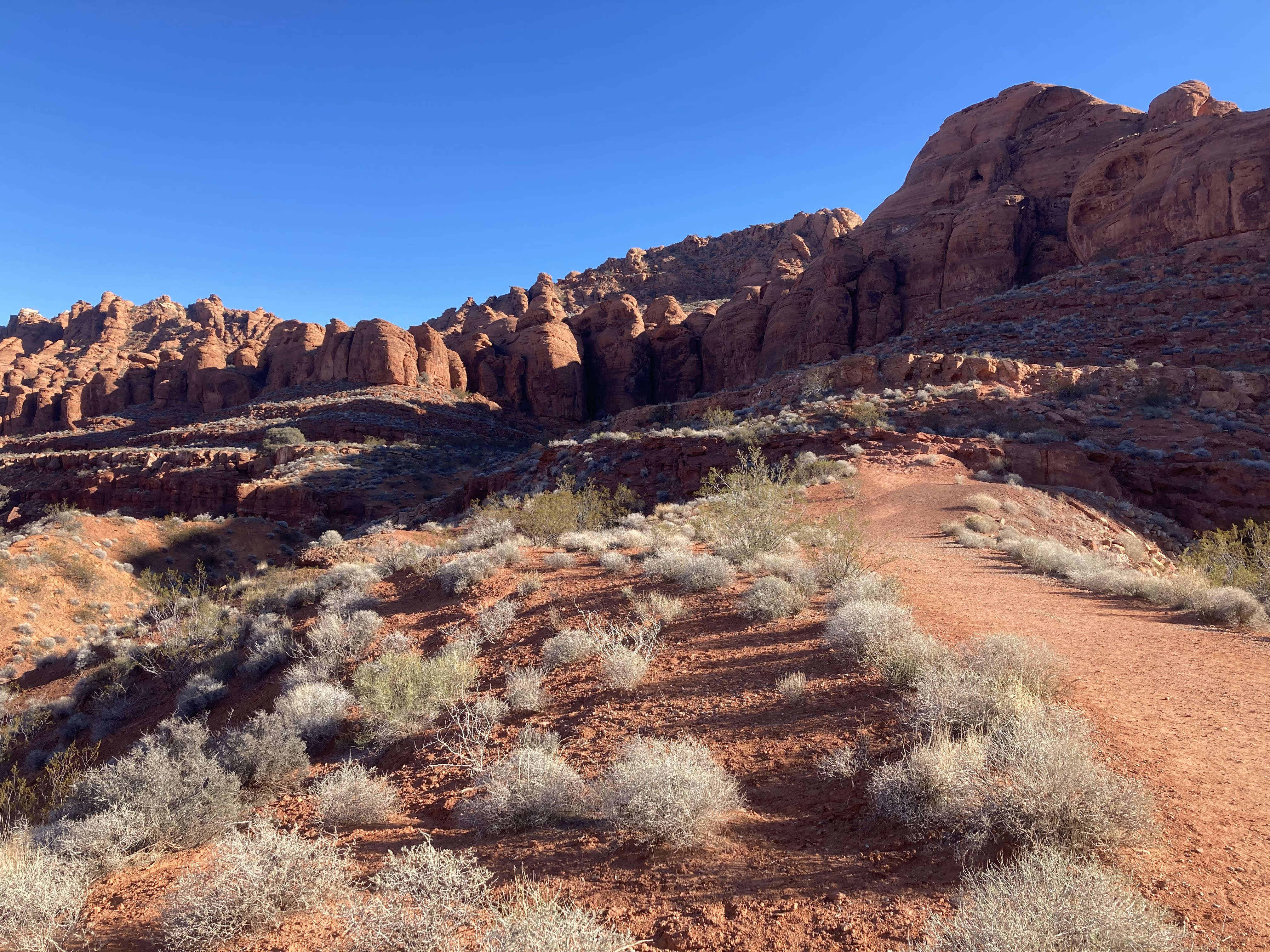
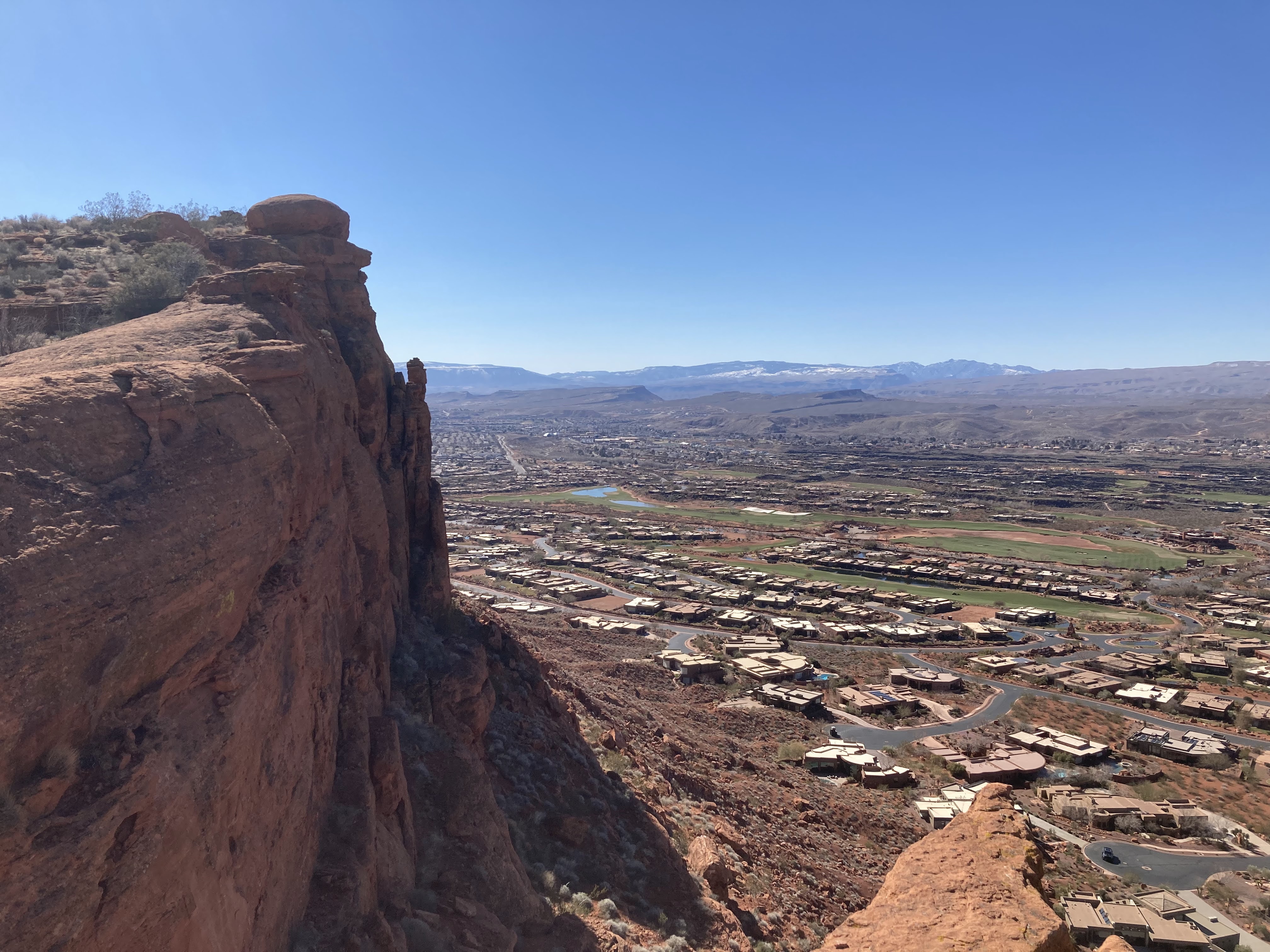
When I arrived at the southern pay station it is time to cross the street and begin the scouts cave trail. This trail veers through a short canyon, butts against some private homes, and then climbs a short and steep staircase. This is the first major elevation on the hike so far. It has been pretty flat elevation up to this point. At the top of the staircase, I make the mistake of veering north instead of south. The trail peters out and I find myself off-trail guessing at the route. Eventually, I find a proper trail and then I soon realize that it has joined me to the Johnson’s canyon trail and it returns me back to the main road and the pay station. I am back to where I was an hour ago. I’m in the wrong location. I need to be further east and south of here. After some internal struggling, I decide to redo the section of the scout cave trail that I have already completed. I am discouraged but I convince myself it is the right choice. I repeat the mileage quickly. This time when I return to the top of the staircase, I veer right instead of left. The trail is obvious and I’m not sure how I made the mistake before. This trail soon leads me to the top of a ledge overlooking Ivins with expensive houses and golf courses. As I connect to the paradise rim trail, it becomes congested with cyclists, day hikers, and dogs. I take pictures of people taking pictures for my wife’s instagram: @pictures_of_people_taking_pics

I soon connect to the turtle wall trail. I know I am soon approaching the popular chuckwalla trailhead as the crowds become thicker. I know I am nearing the trailhead because I encounter old people, young children, and people smoking cigarettes. When I reach the trailhead, I see some kind of hiker meet-up happening in the parking lot with introductions being made. I plow past this group and use the restroom. I have arrived at the southern terminus and it is time to loop back to my car at the north end of the park. It is around 1:00 PM. With my hour detour at scout cave trail, I anticipate I will reach my car at about 7PM tonight. I am pleased with the time that I am making but starting to feel a little tired already. I know that it is time to break for lunch. I had already been snacking on the PB&J my mother in law had made for me. But now it is time to cram some more calories.

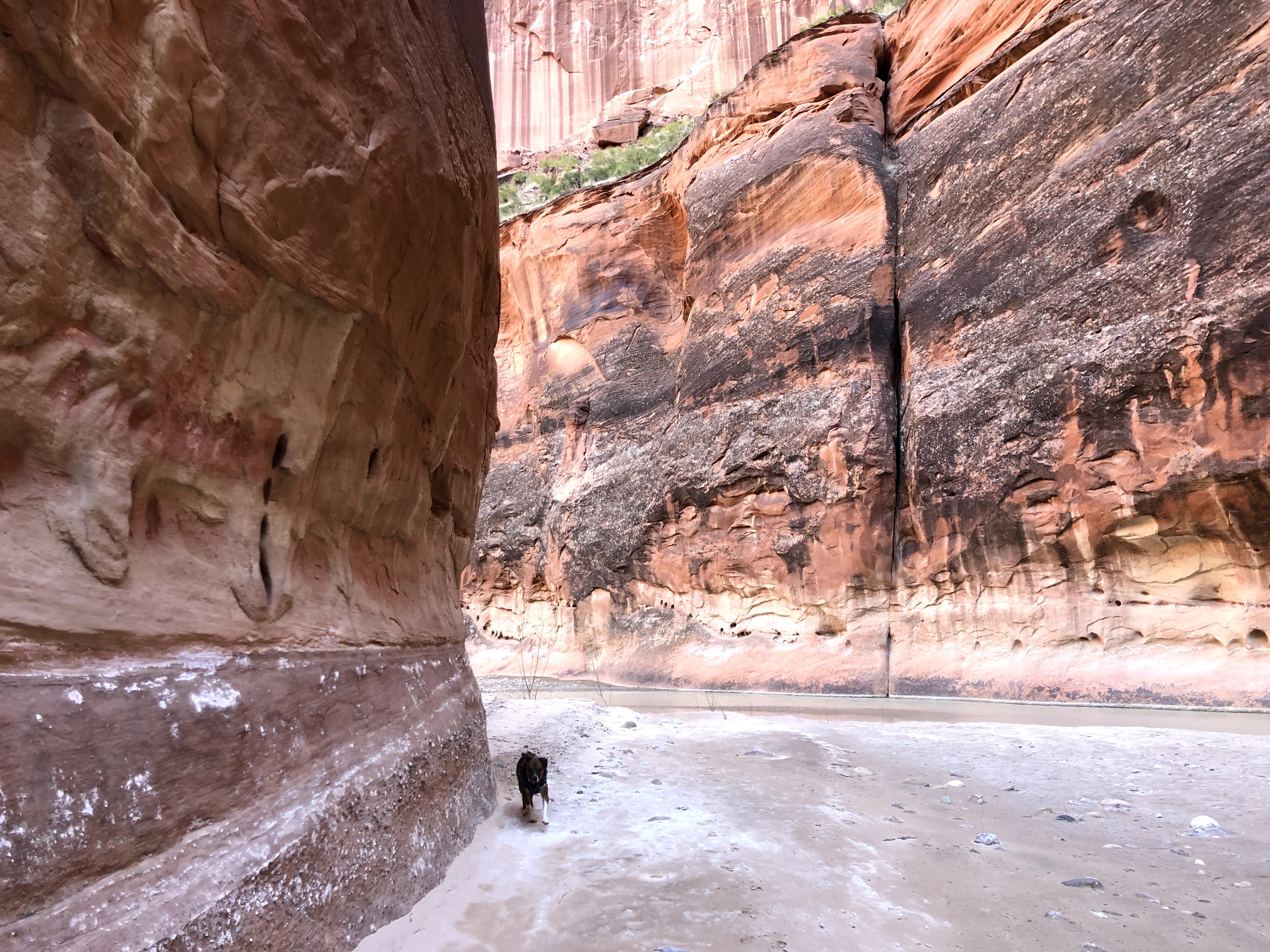
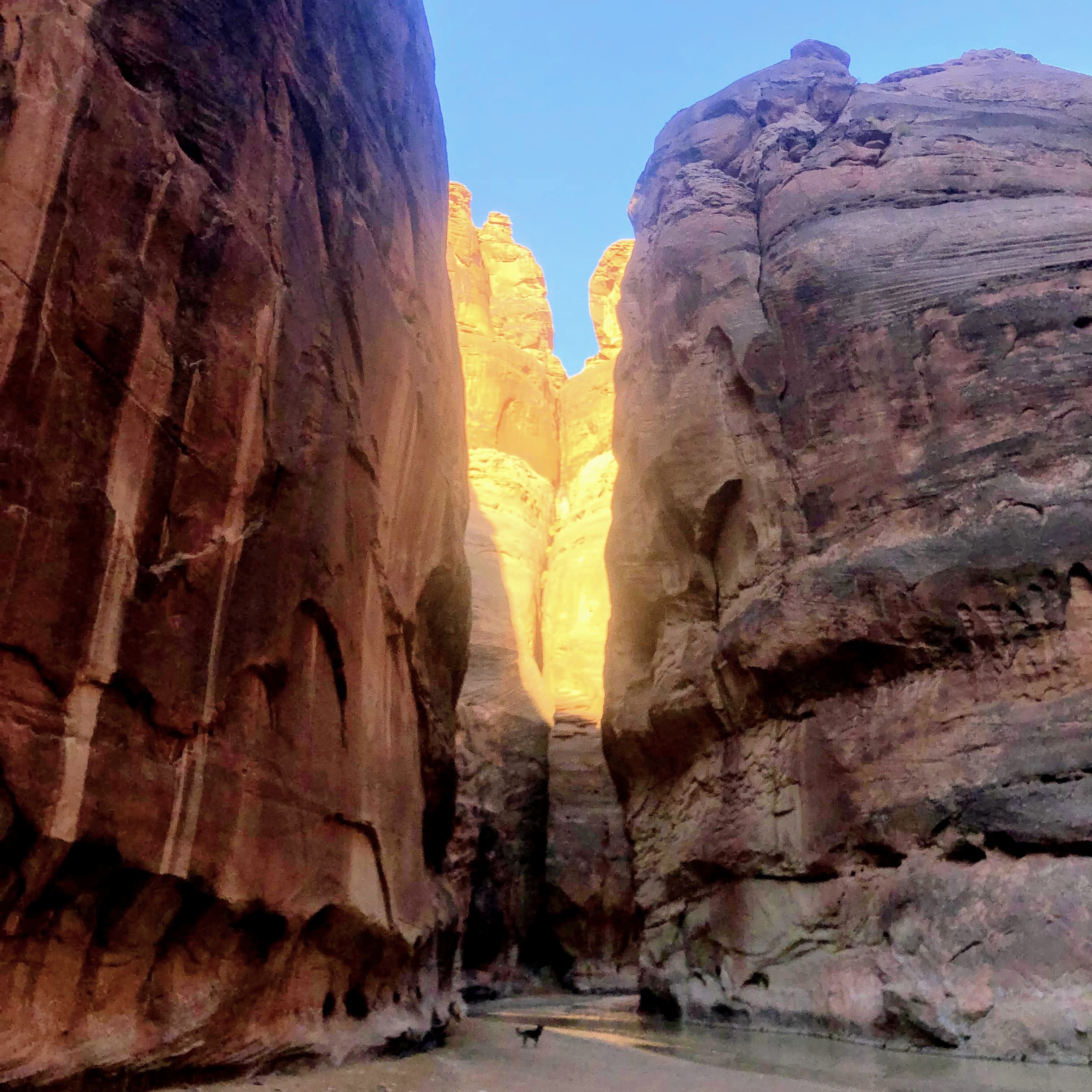
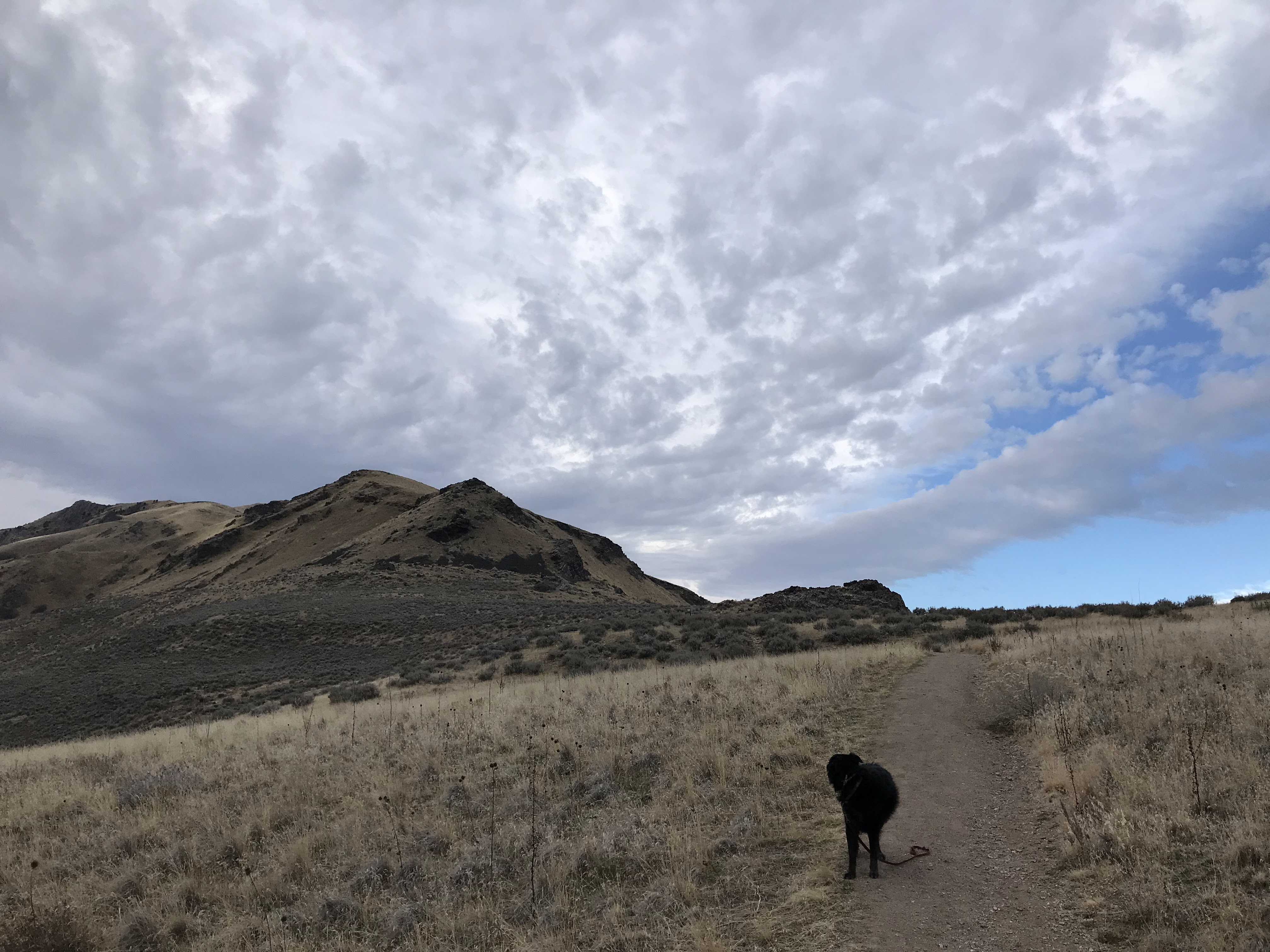
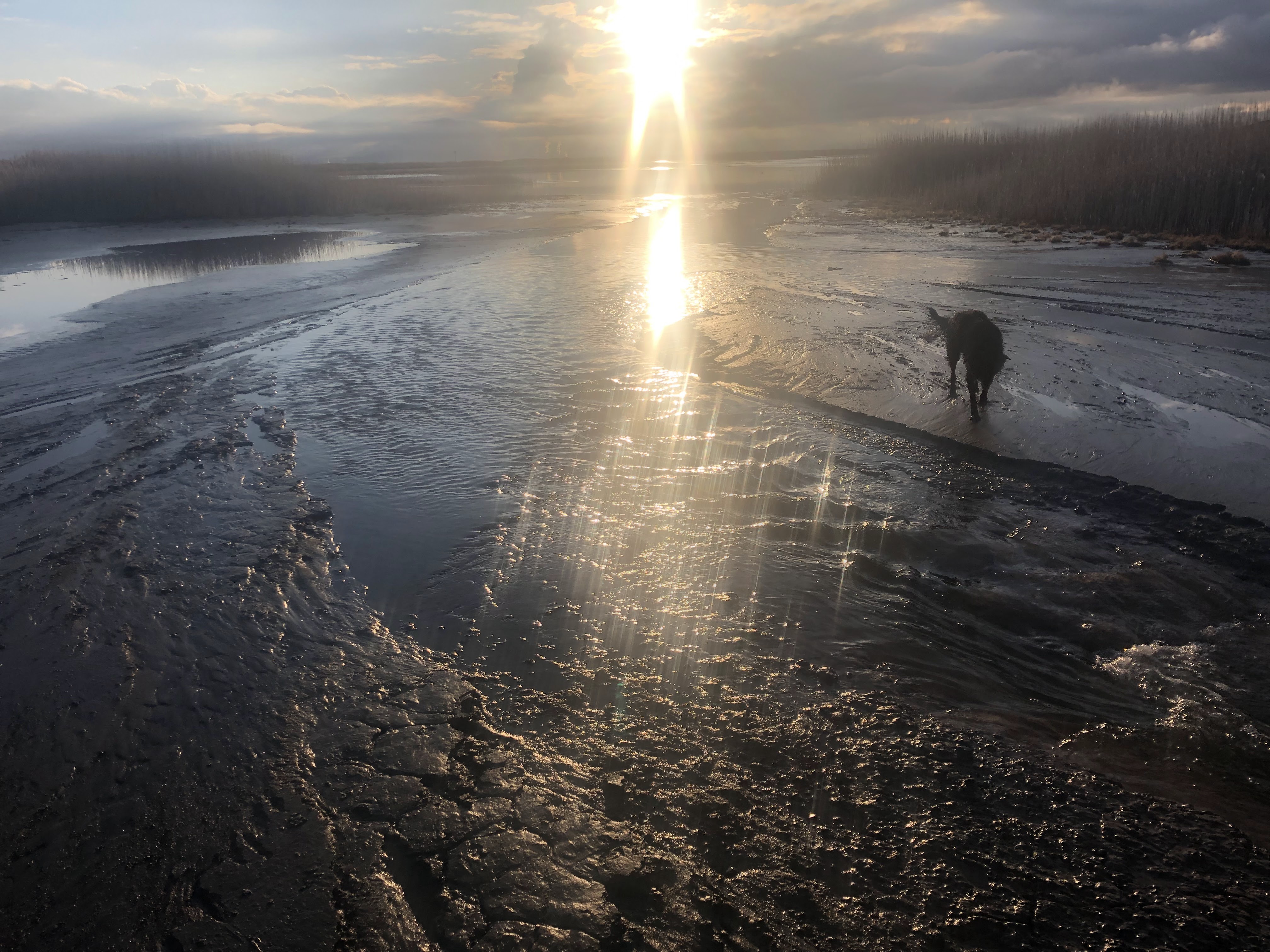
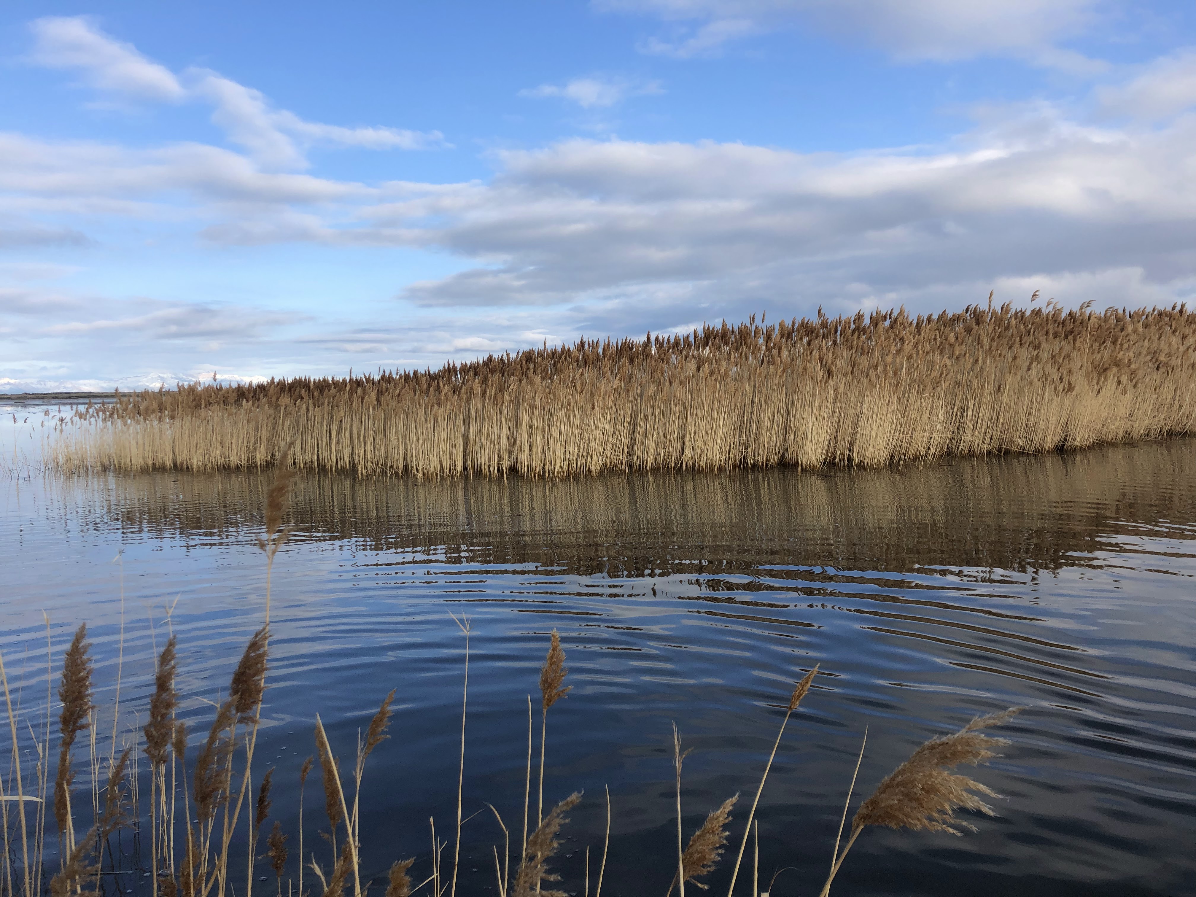
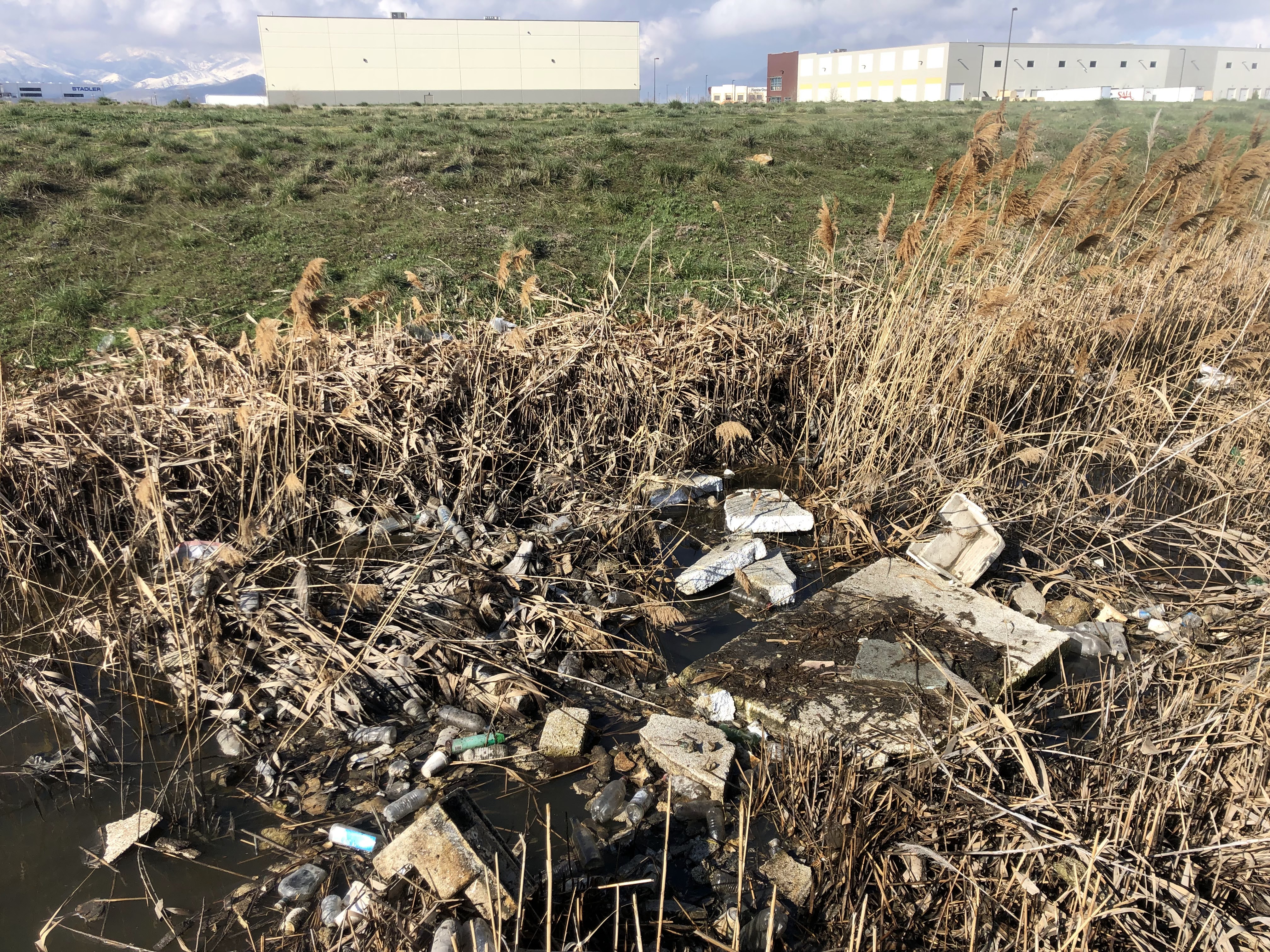
I cross the busy highway and crawl under the barbed wire fence properly dusting my clothes. I walk directly east until I encounter the rusty cliffs trail. This is a dirty trail with much broken glass and litter. I walk north along this trail briefly. Now a safe distance from the crowds at the chuckwalla trailhead and on the rusty cliffs trail, I stop for my lunch. I eat a tuna creation wrapped in a tortilla and several handfuls of trail mix. I also pound some water. As I continue north on the rusty cliffs trail, I’m not terribly impressed by the state of this trail. It is mostly covered in trash and you can hear the roar of the highway. It is along this trail that I scare a rabbit from the brush and we startle each other. When I reach the end of this disgusting trail it is time to cross the highway.

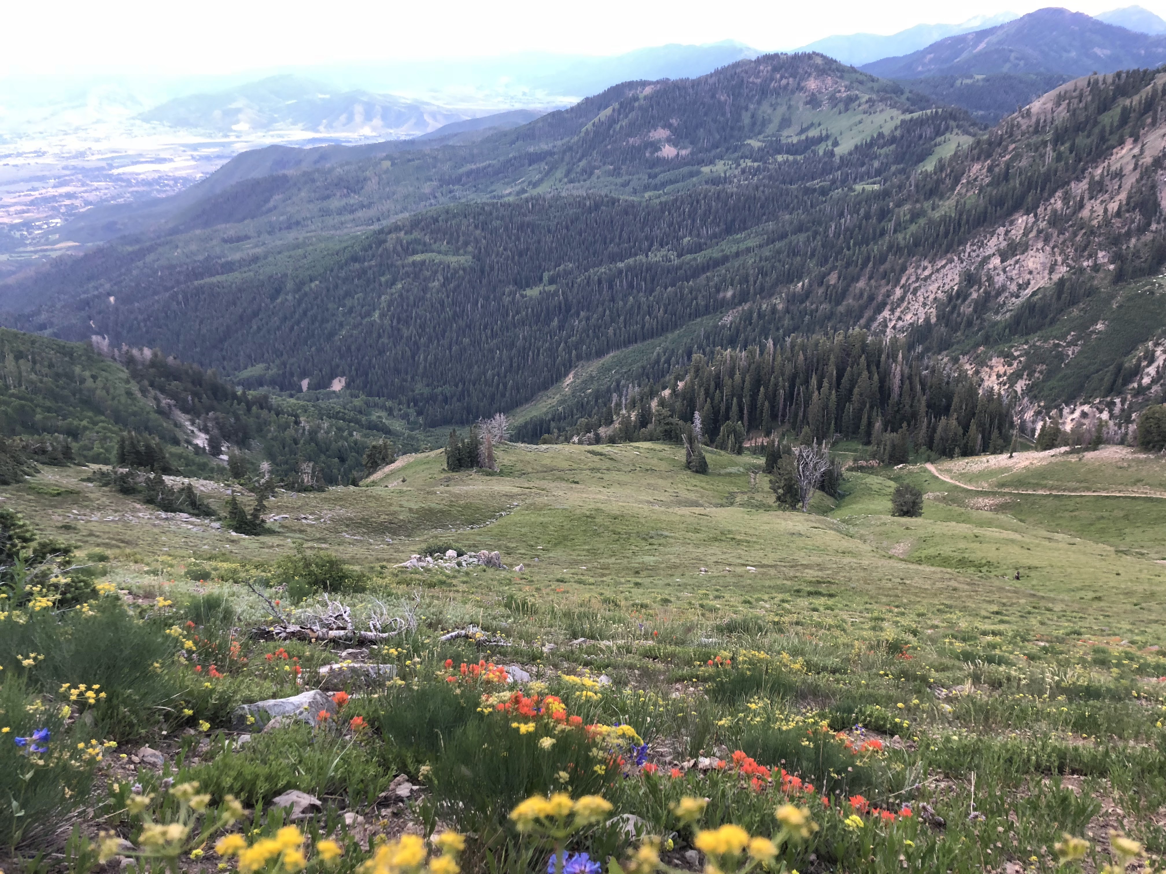
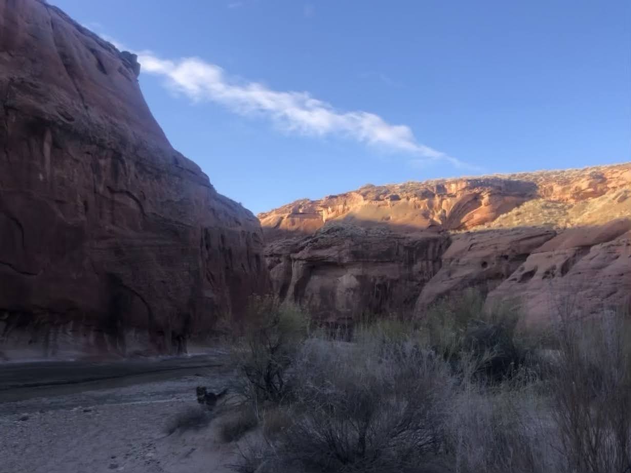
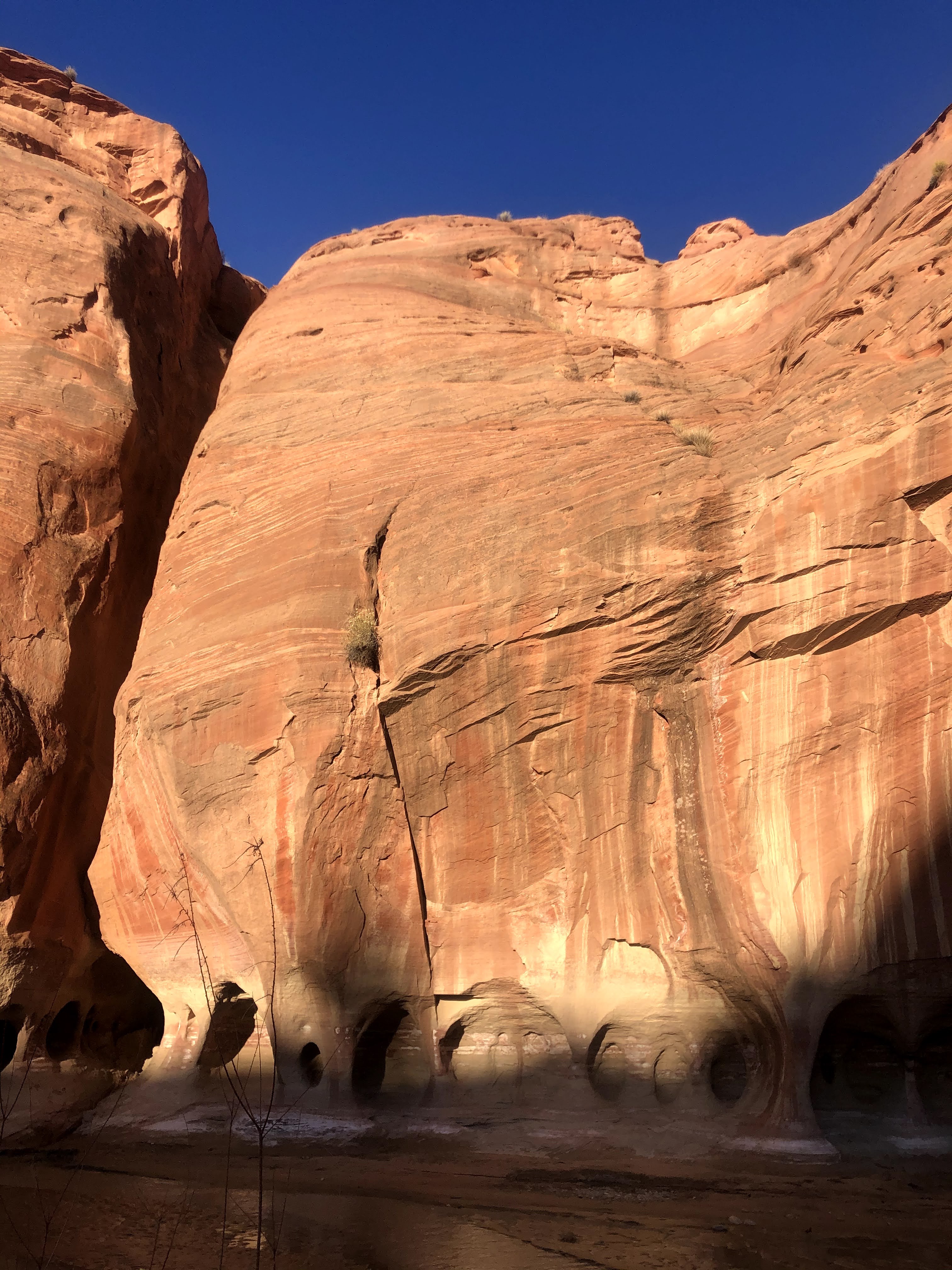
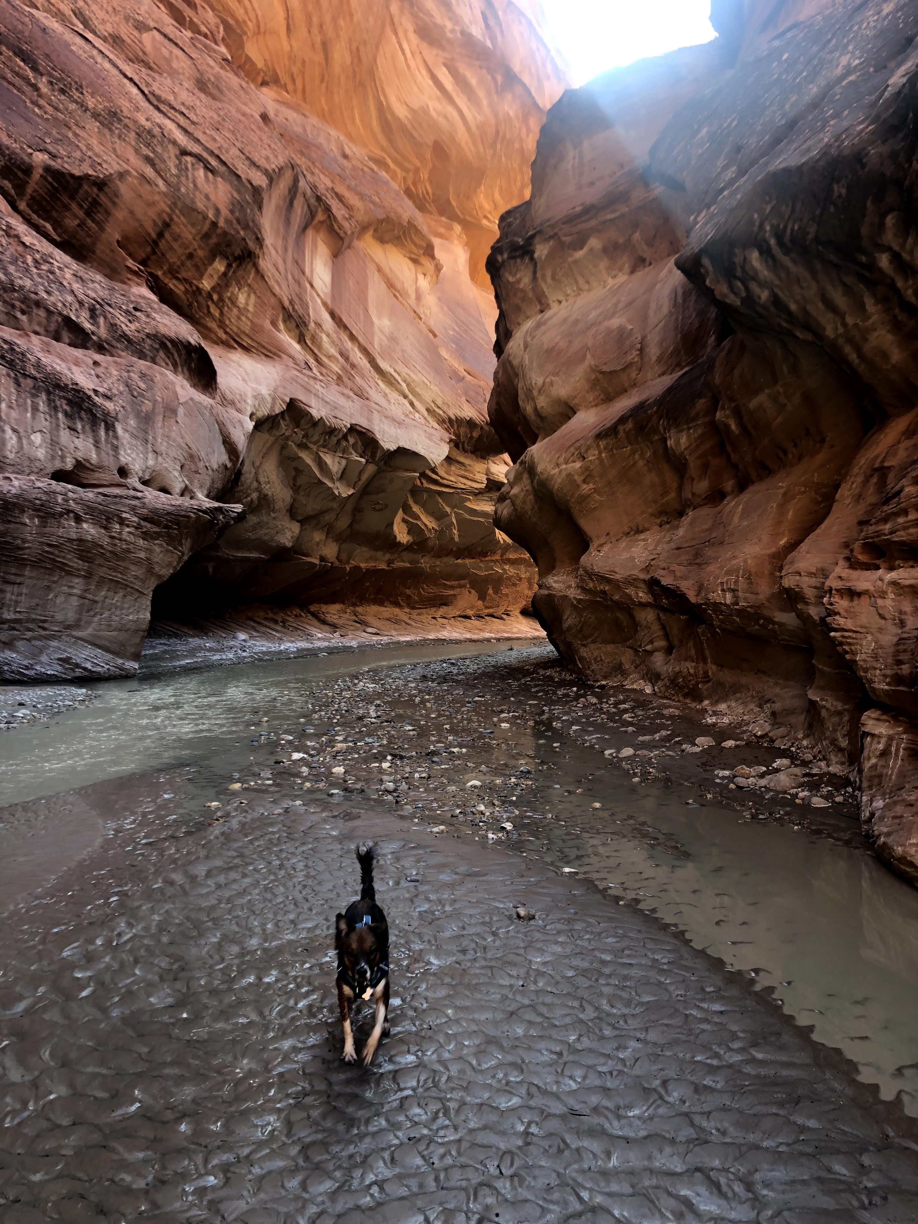
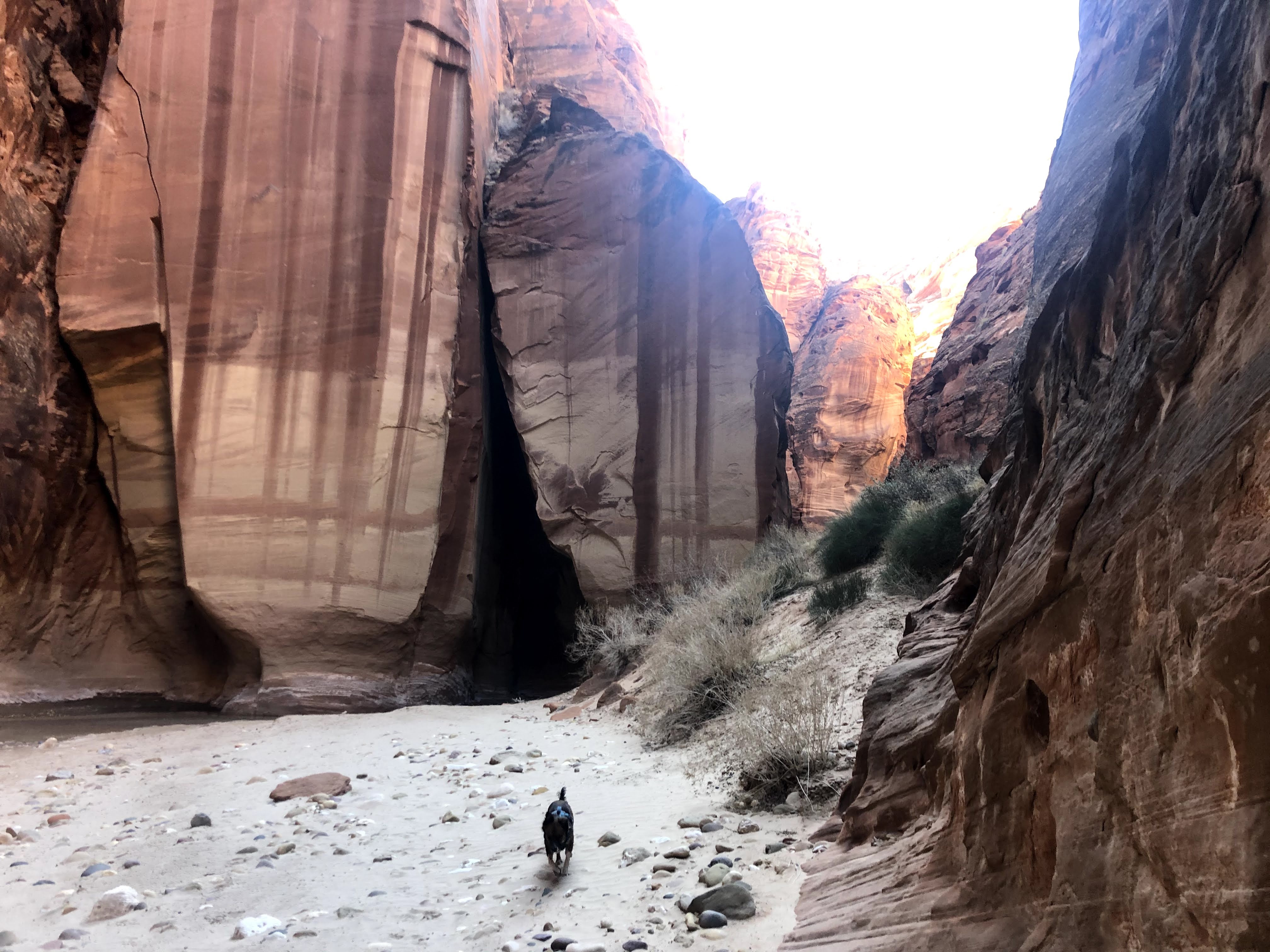
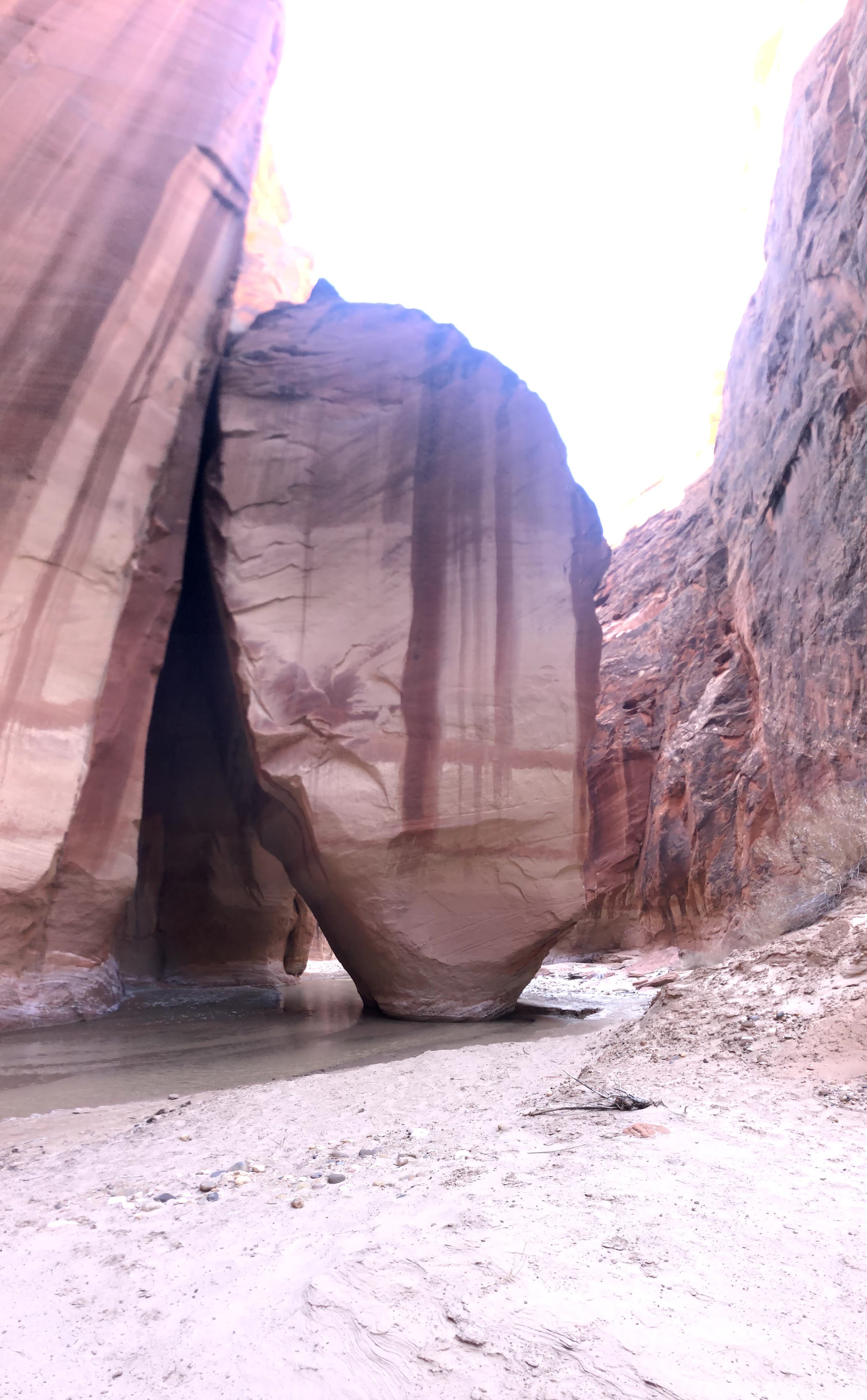
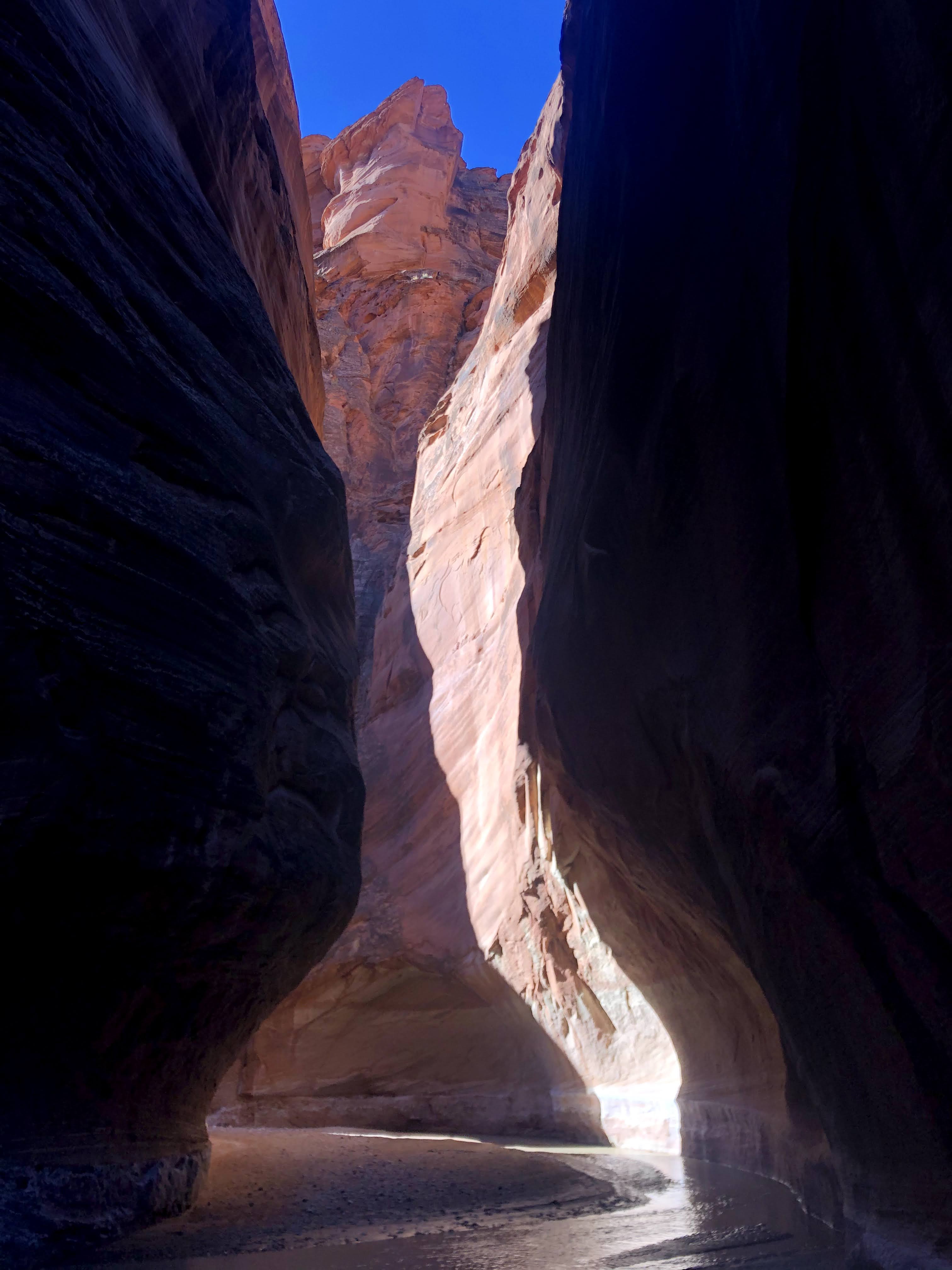
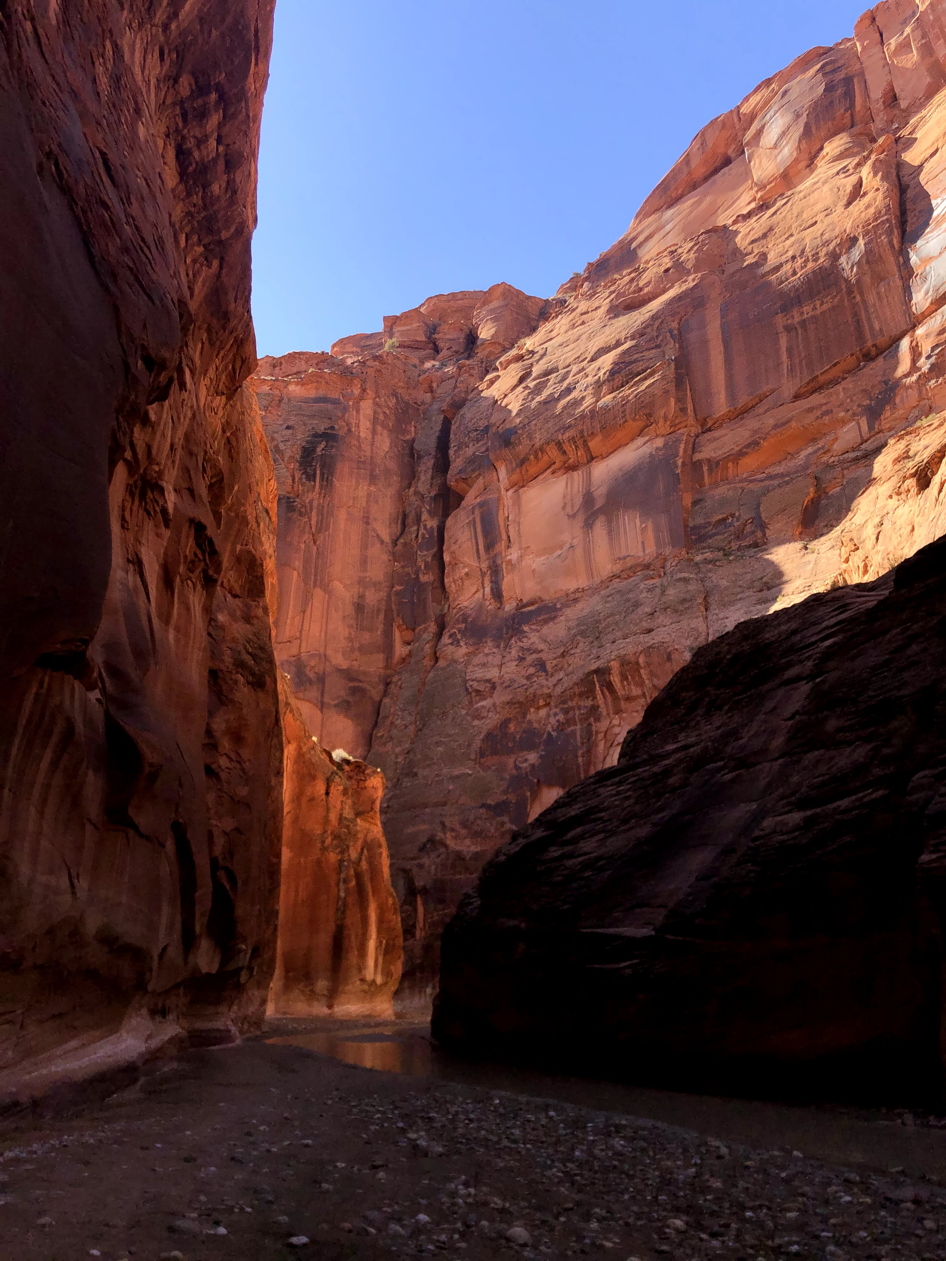
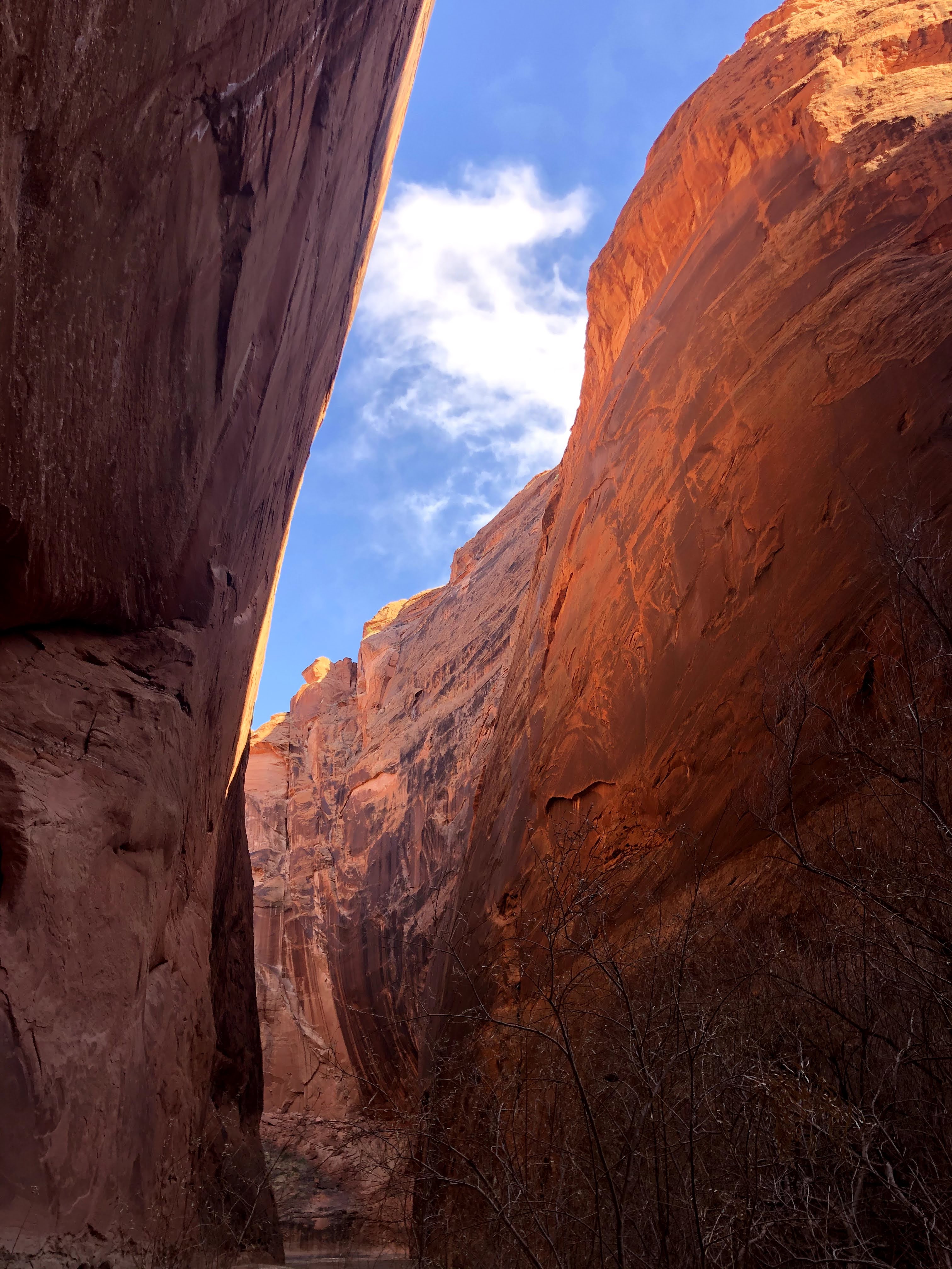
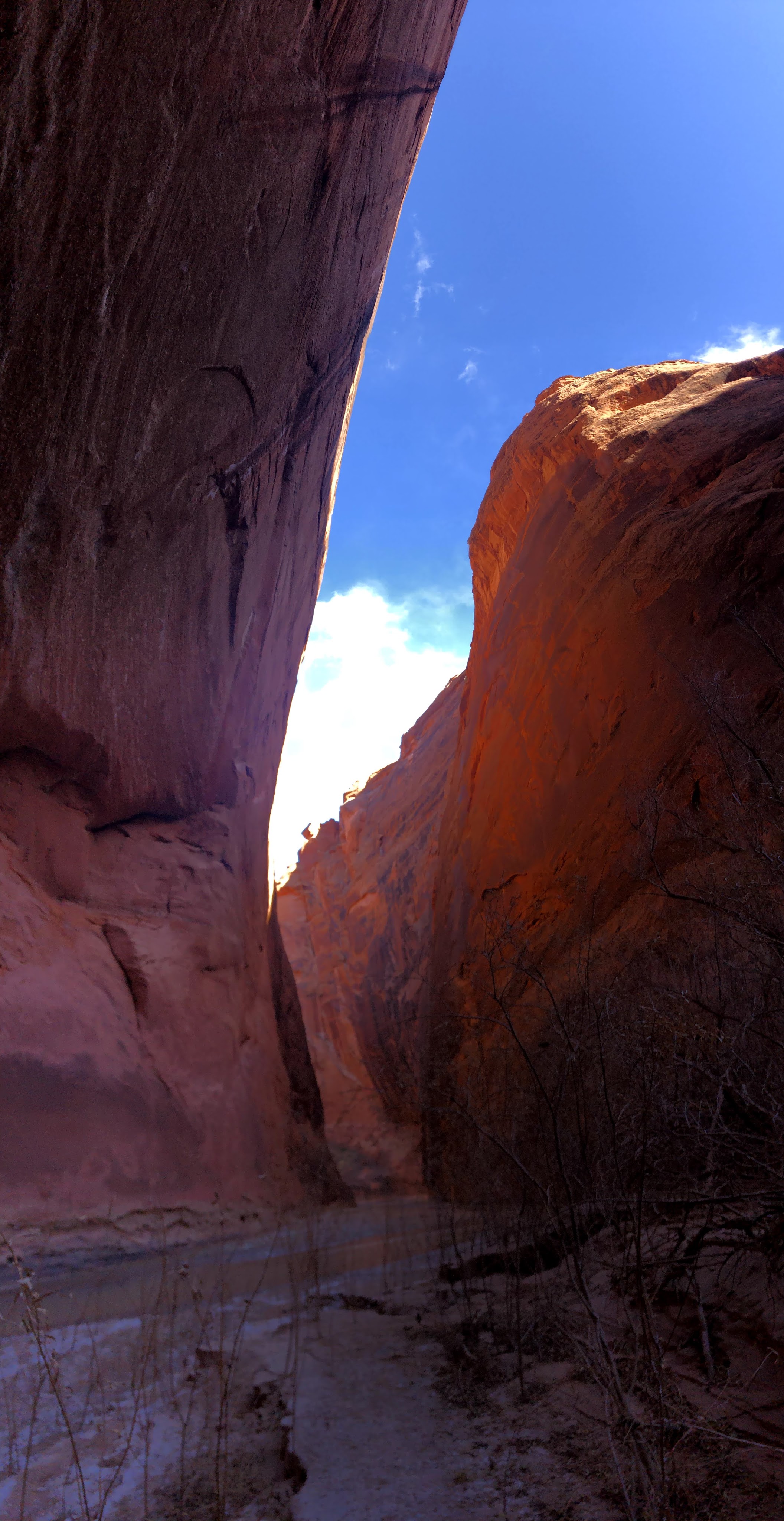
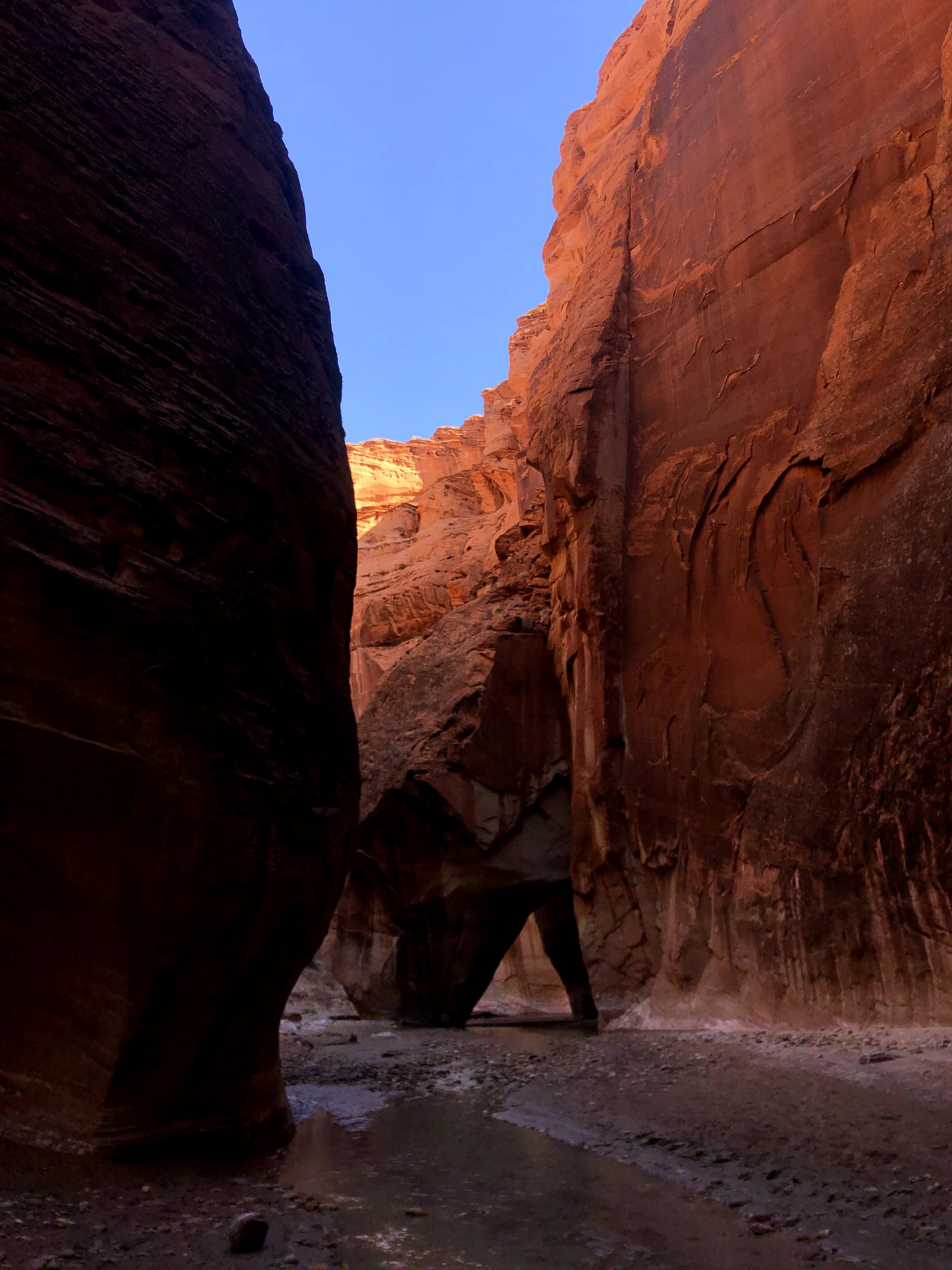
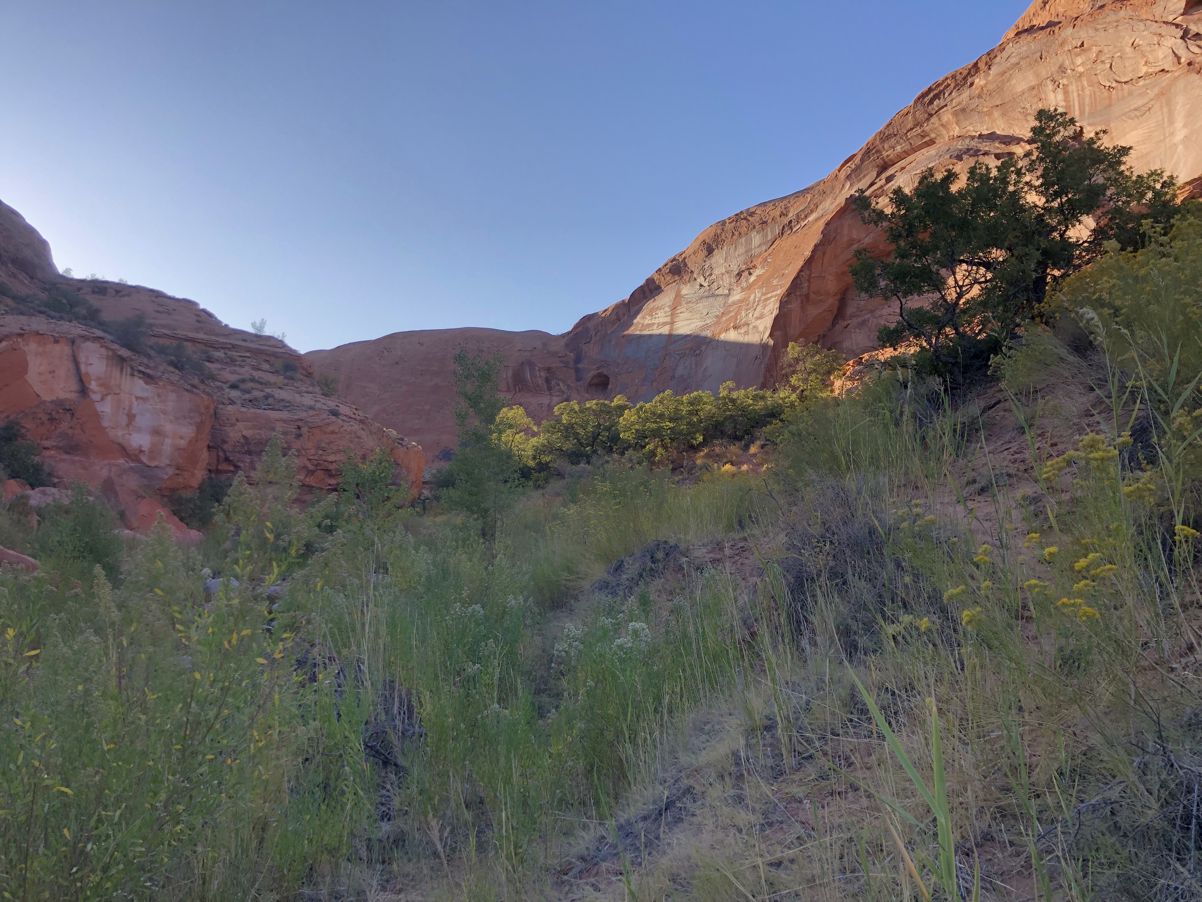
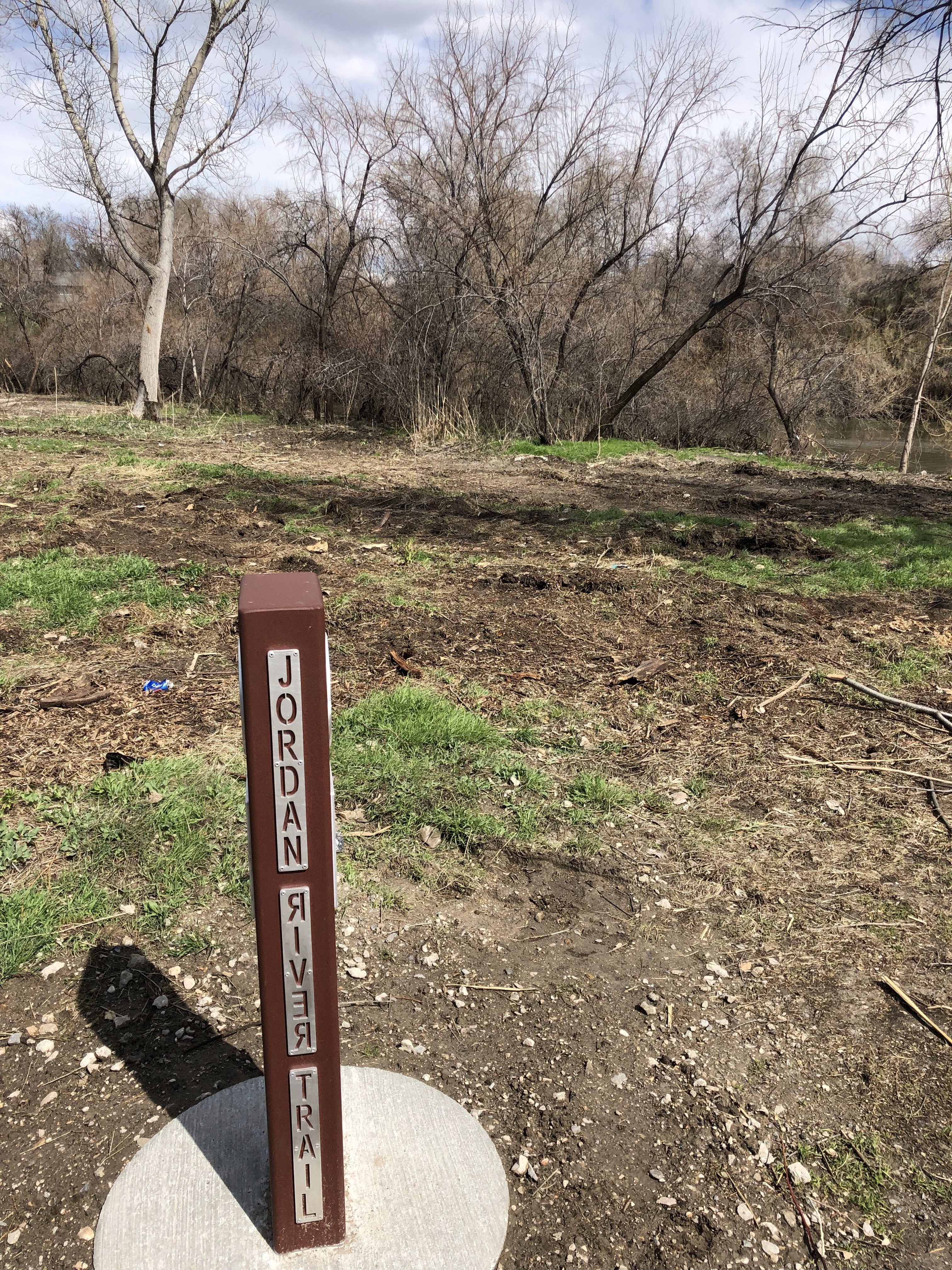
I find a break in the fence immediately and push through this brief off-trail section of trail. It only takes a few minutes to spot the Gila trail below. The gila trail is very visible from the cliff top. Some simple route-finding will lead you down to the proper trail. It is a fun adventurous break from the monotonous walking I have done today. When I reach the Gila trail, I encounter some hikers. The trail presents itself in an east/west direction. It’s not obvious to me which way leads me north so I ask them. They don’t quite understand my question, but after some discussion they point me in the right direction. They are going this direction too but are hiking a little faster than me because I am starting to lose some steam at this point in the day. At the top of a hill, we reach a service road and they break off to the south but they wait for me first to make sure I am pointed in the right direction. They assure me I am almost to my car but I know this isn’t true. I just go along with them and thank them but know in my heart I still have a long afternoon ahead of me. “You’re almost there and it’s all easy service road walking from here.” They tell me. It’s not true, but I know that. I walk a short ways and the service road quickly returns to trail hiking.

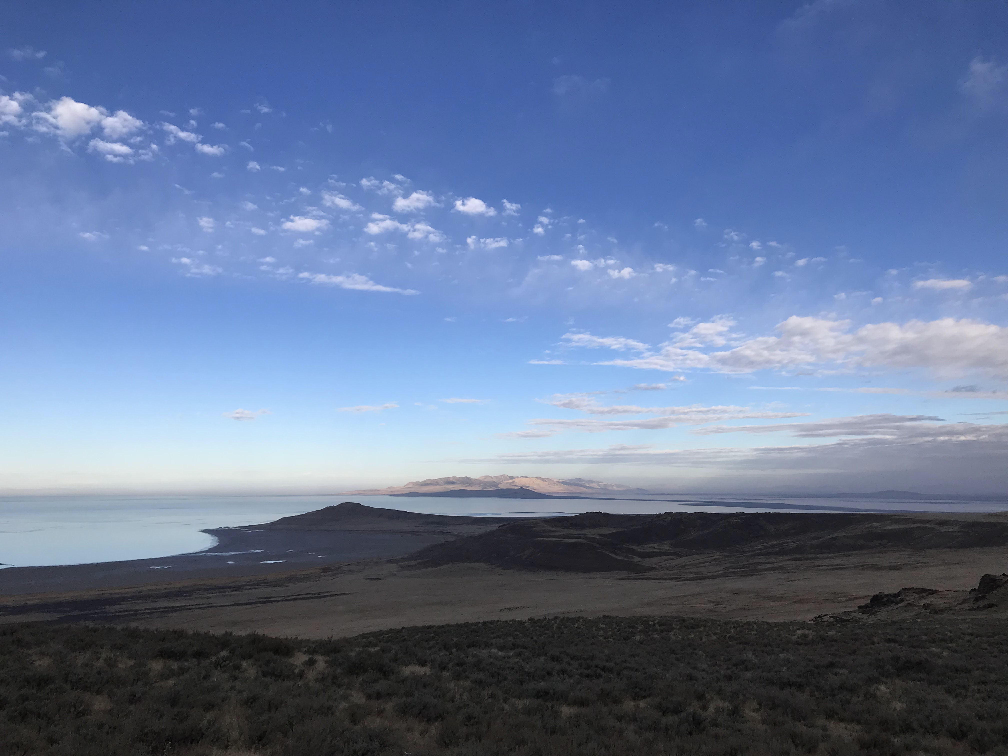
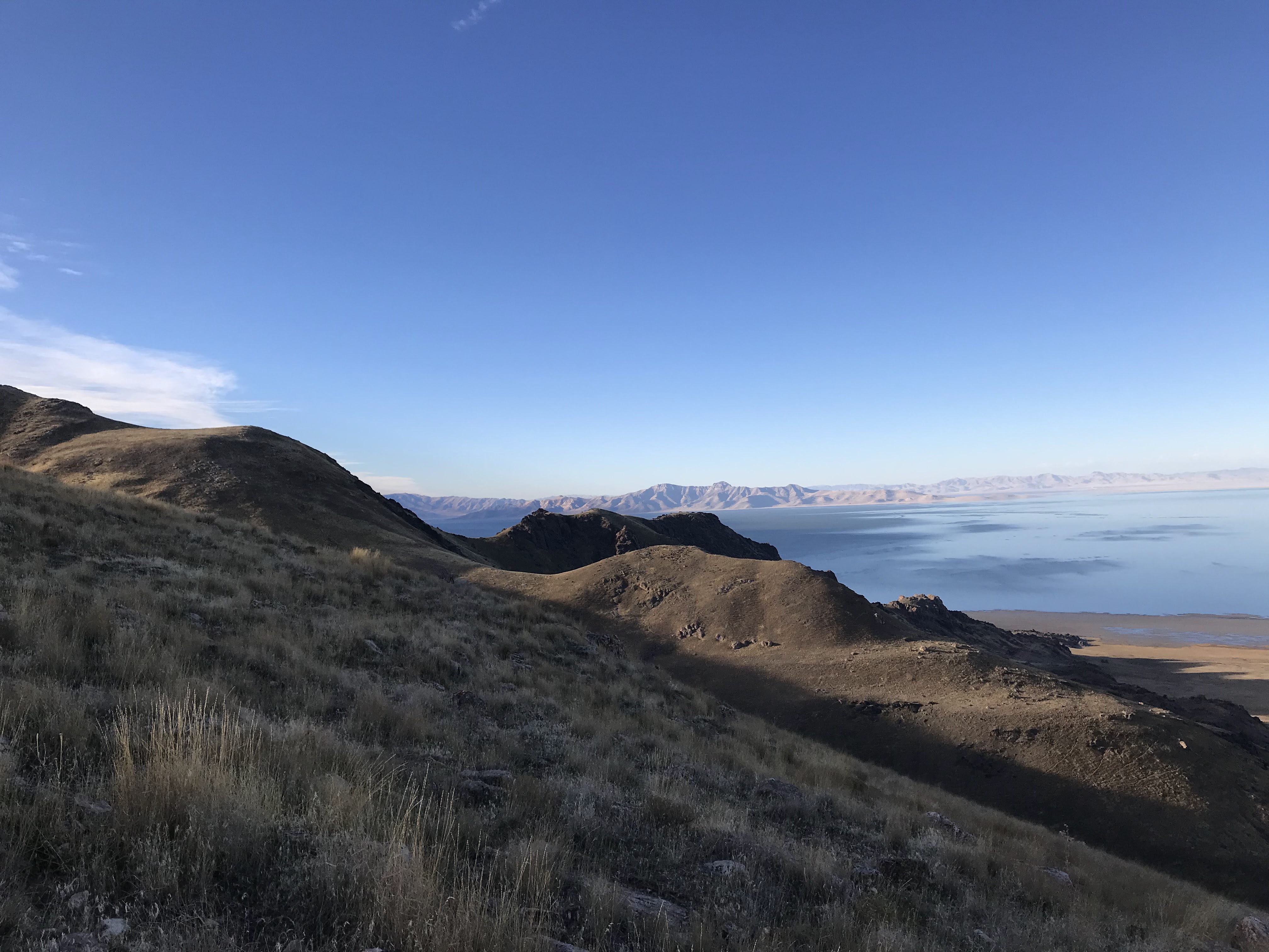
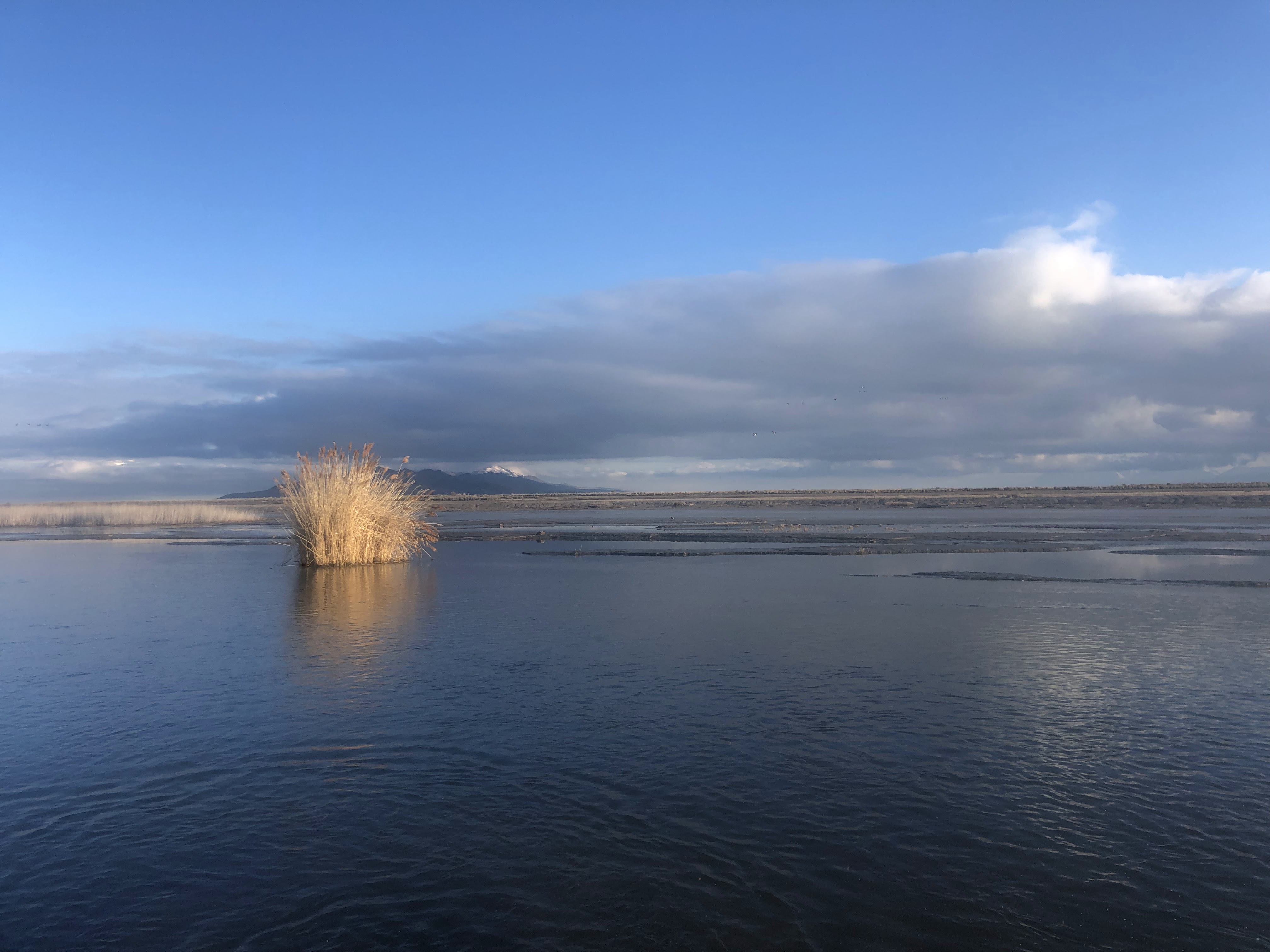
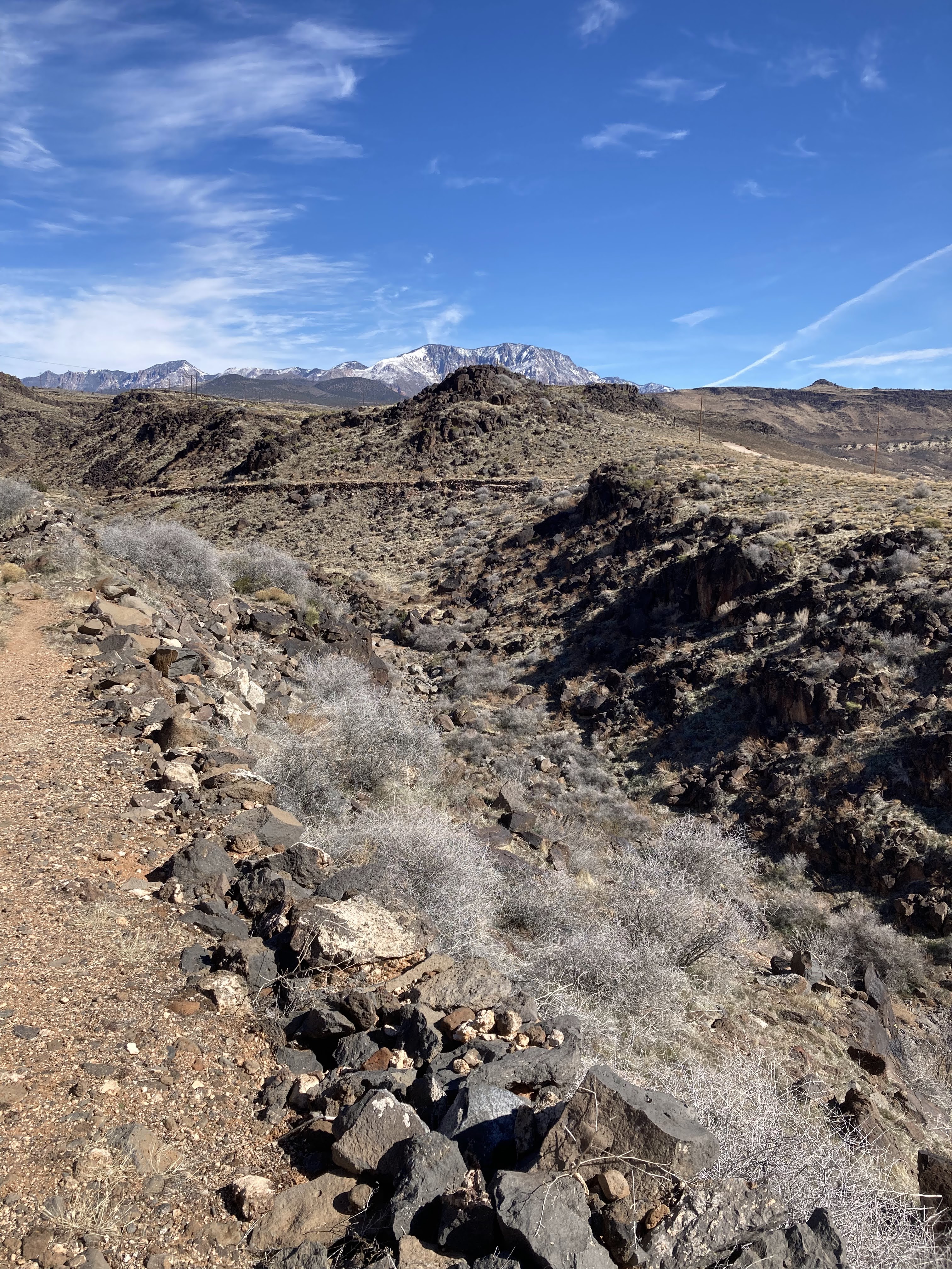
This part of the gila trail is fun and adventurous. The trail leads in a couple different directions with several signposts leading the way. The trail goes up and down over hills and slick rock and there is some fun scrambling. Eventually it runs a property line with private property butting against the state park. At one point, the sign points me to the right and steers me closer to private property. In hindsight I wonder if this sign was mistaken. I border the private property and walk along the backyards of wealthy estates. I can’t quite find a proper trail but it hasn’t been long since I spotted a sign so I know I’m close. I consult my map and try to figure out where I am. When I look up from my map, a man is standing in his backyard confronting me. He’s not kind and asks me in a rude manner if I’m lost but doesn’t seem to be too interested in helping me much. He seems frustrated by my presence and annoyed that he must converse with me though it’s not something I asked for either. Eventually, he tells me that I’m “getting close to being on private property”. I respond to him, “That’s ok”. That response seems to annoy him even more. I leave him and scramble down a steep hill and around a mountain rejoining the proper trail shortly. I wasn’t as far off course as he led me to believe. From here, I have no more routefinding issues. The trail is easy to follow and I am high on the mesa overlooking snow canyon running parallel to the highway. I spot the parking areas and try to ponder my exact whereabouts and my distance to my car. I consult my fitbit often and check my mileage. I don’t know exact distances but I believe I should hit the car at about mile 32 because Chuckwalla trail head (southern terminus) was at about 16 miles. At the overlook, I see many cars and I soon realize that I am nearing the whiterock trailhead.

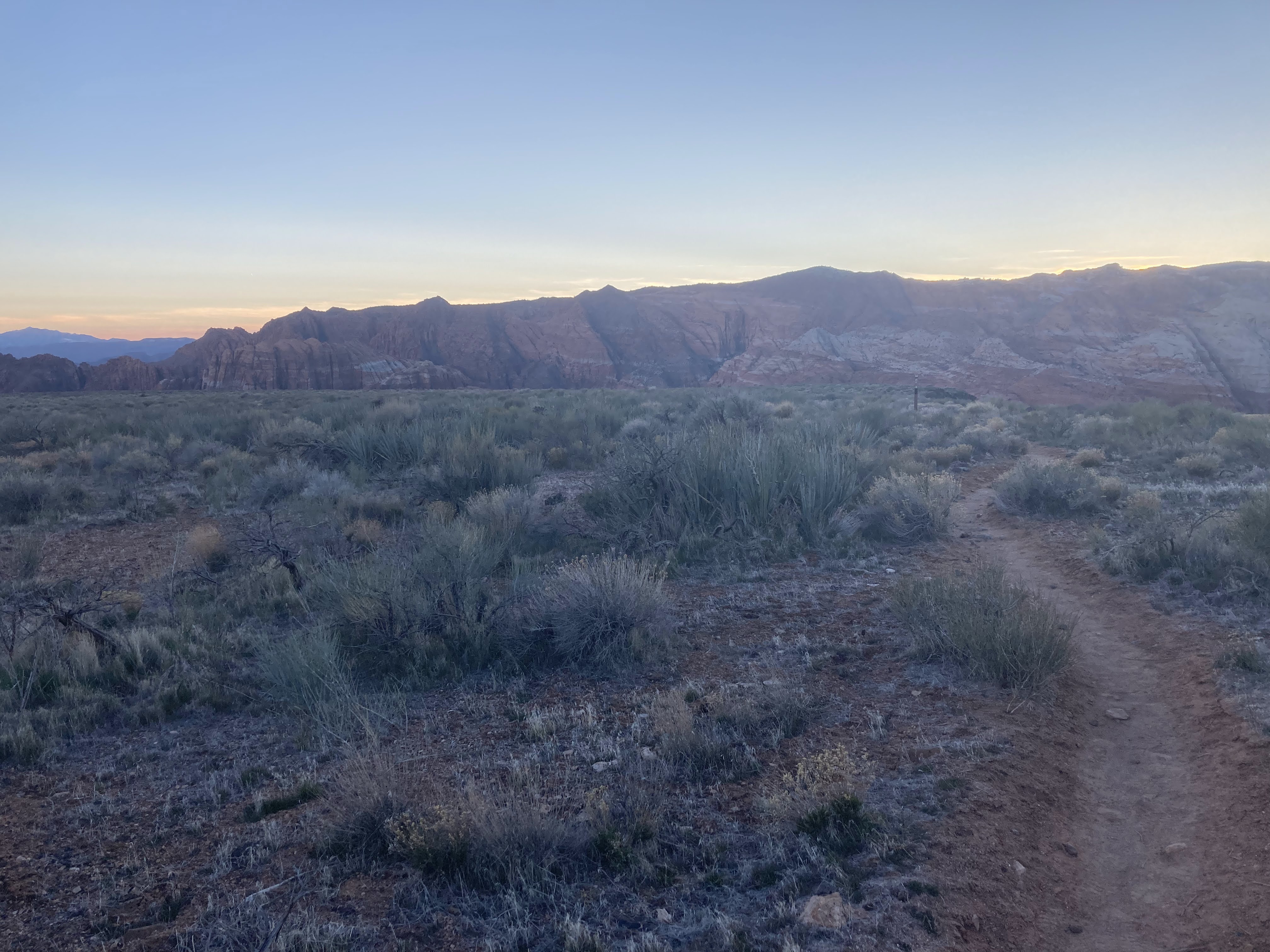
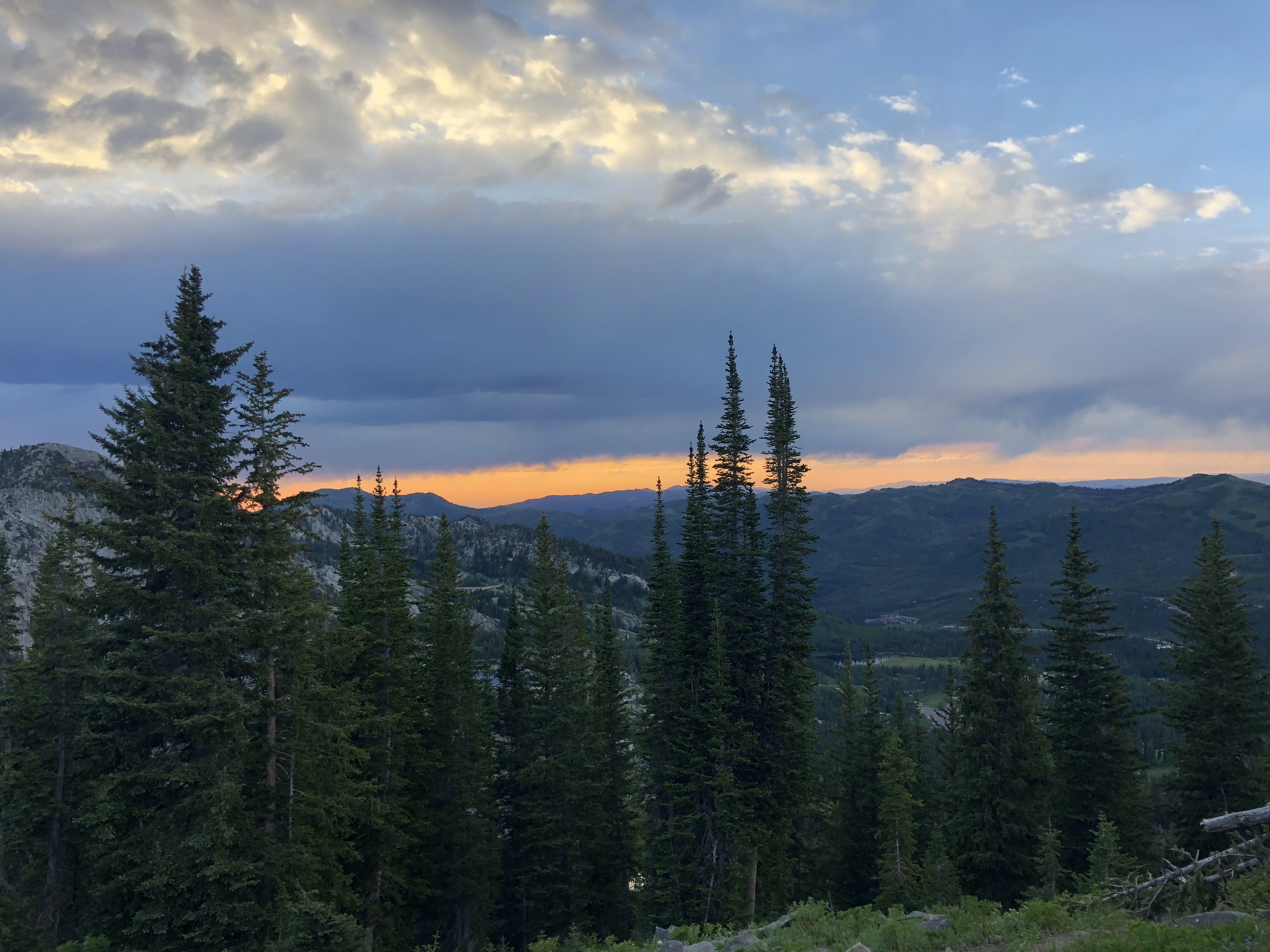
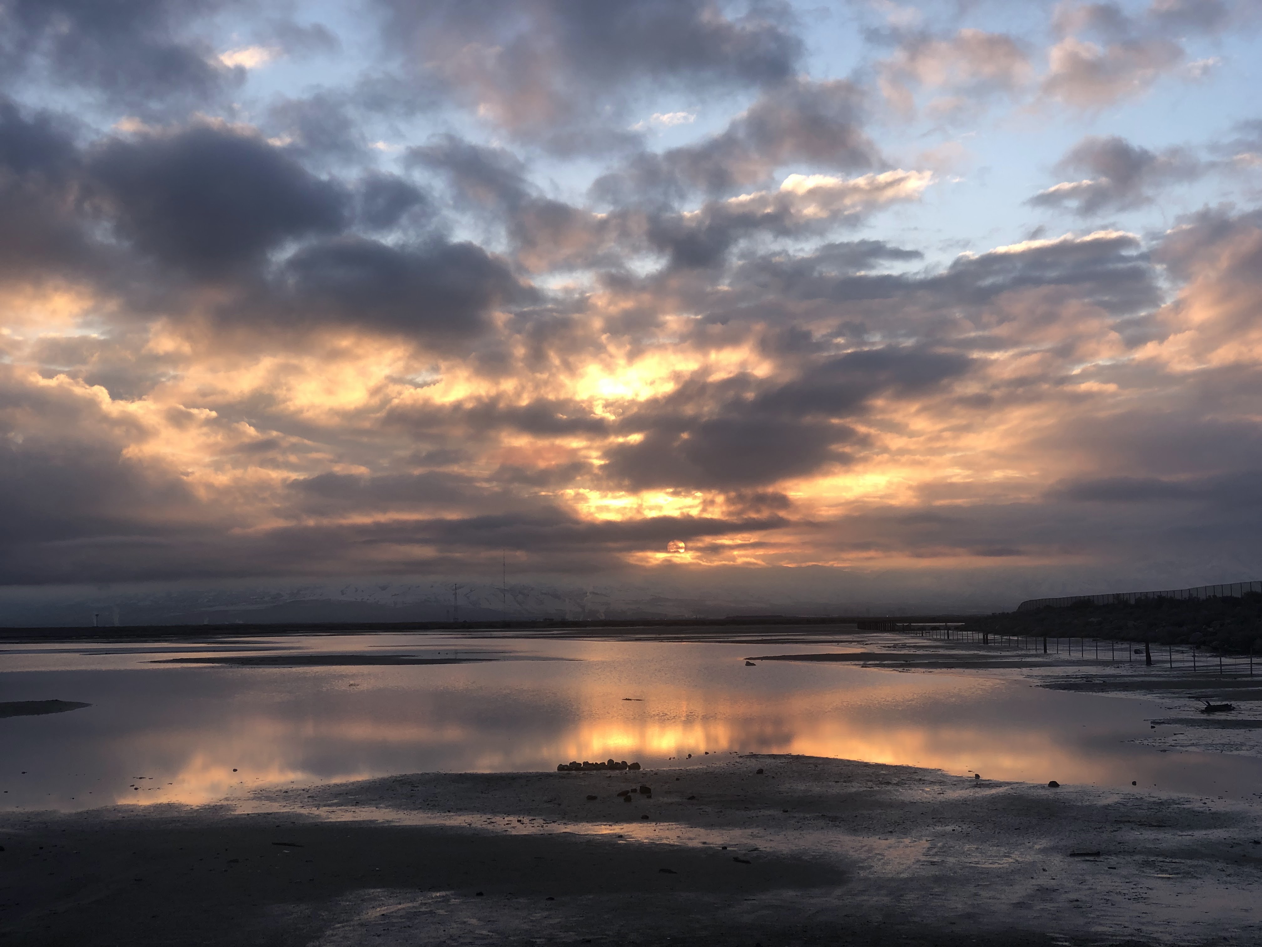
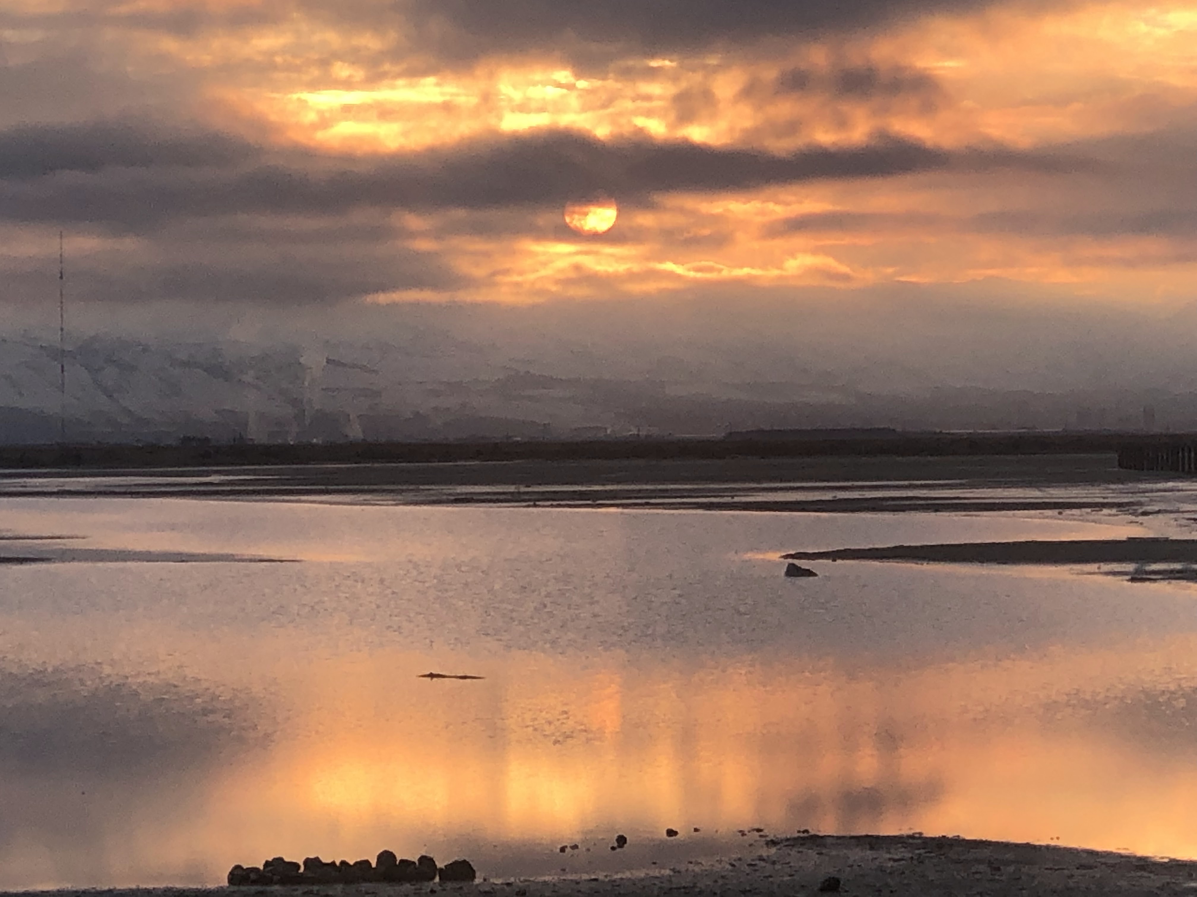
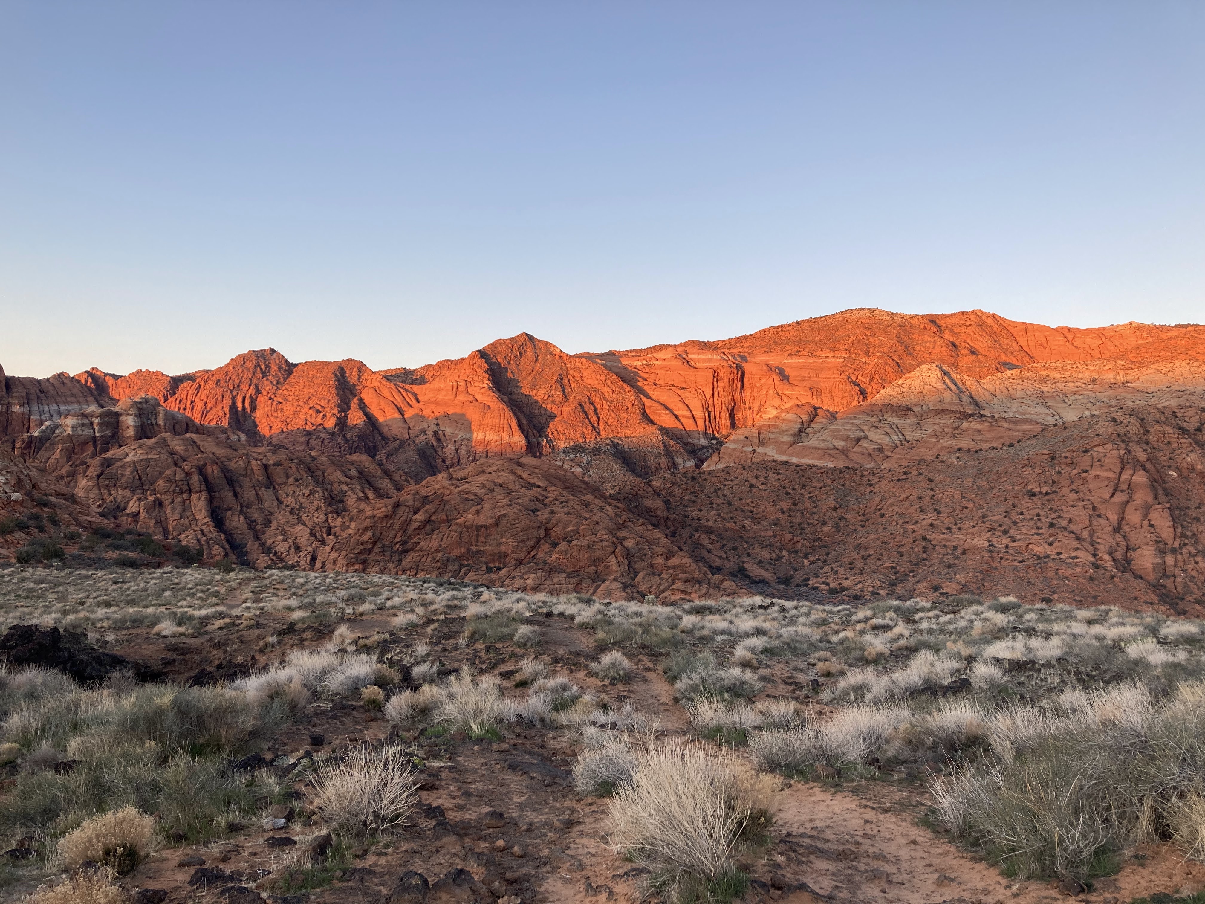
My next major milestone, is the northern pay station and it’s just a quick jaunt from here on the Gila/White rocks trailhead. But it feels like a death march. I reach my car about the time the sun is setting.

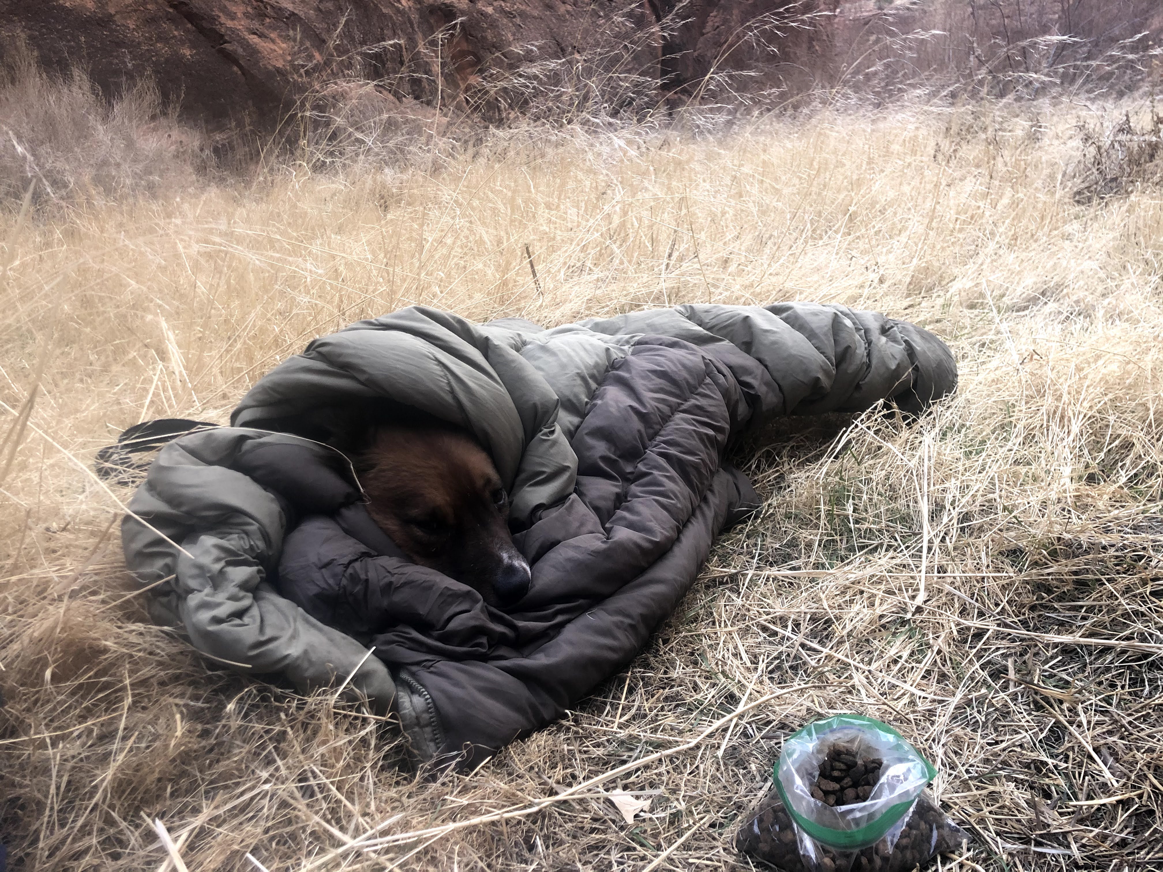
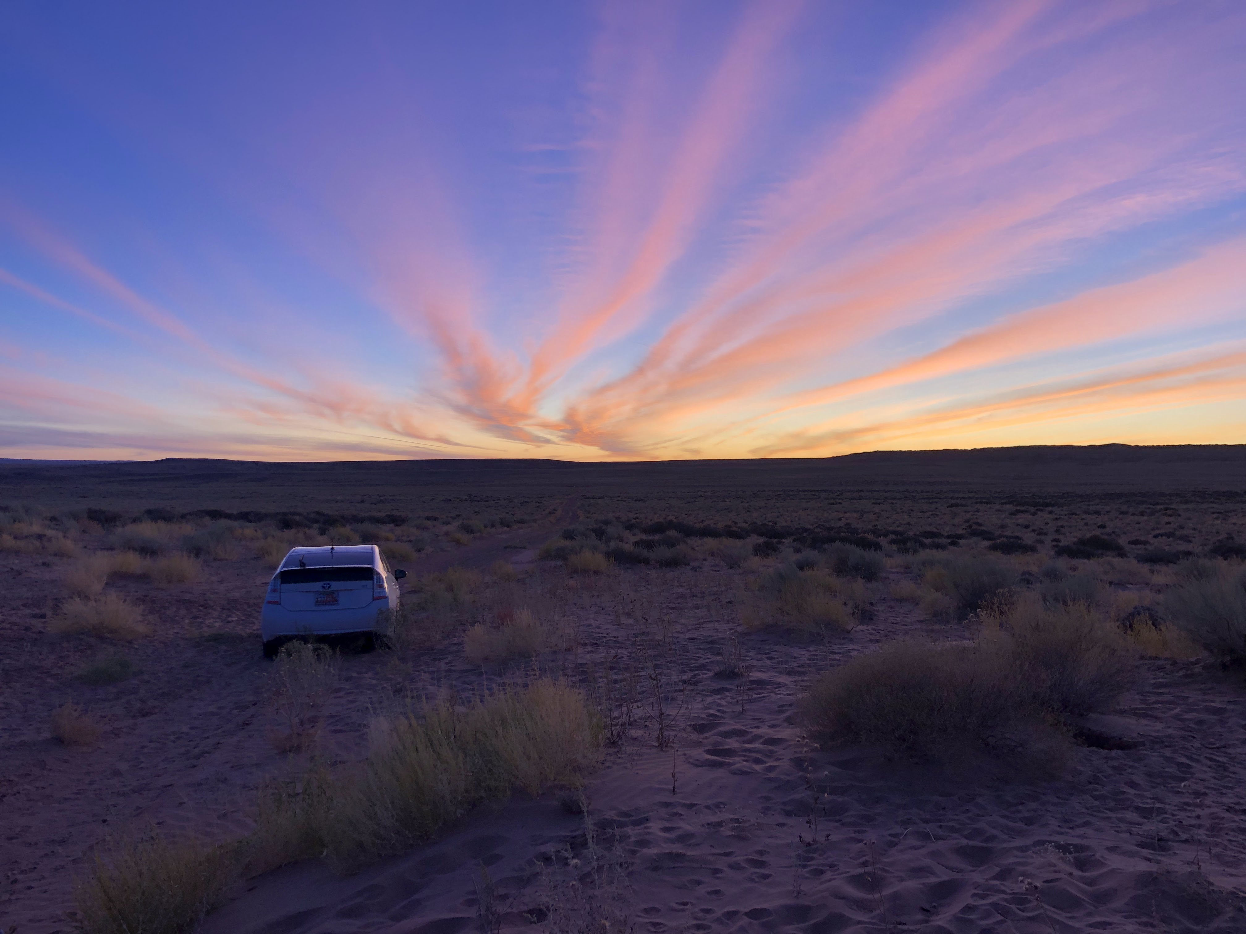
I glance at my watch and it reads 6:57PM. With my start time at 6:20AM, this means I completed the 32 mile hike in 12H 37M. I brag to myself this is a FKT for this route I invented. I’ll have to search to know for sure if others have completed this route before. Back at my car, I find a pull off to park and sleep.

Bonus hike: Snow Canyon to Brio Development.

The Route: Starts at the Snow Canyon overlook and ends at an undisclosed location (my in-laws’ house in the Brio development in Washington, UT). This is a roughly 17 mile route through the Red Cliffs Desert Reserve. My plan was to connect the following trails (though my execution varied greatly):

The plan:

  1. Lange’s Dugway Trail
  2. Cotton wood Road (AKA Turkey Farm Road)
  3. Broken Mesa Rim
  4. Overland break in trail
  5. Millcreek Trail
  6. Neighborhood walk (washington parkway bike path)

The execution:

  1. Lange’s Dugway Trail
  2. Cotton wood Road (AKA Turkey Farm Road)
  3. Black Knolls
  4. Overland break in trail
  5. Middleton power line
  6. Ice House
  7. Neighborhood walk (washington parkway bike path)

Trip Report:

I started off in the morning hours well rested but still a little tired from my 32 mile hike the day before.

I left my park at the Snow Canyon Overlook and crossed the highway immediately finding a road/trail leading me through some cow pastures atop a mesa. This route had some gradual and gentle elevation gain. At the top of the mesa, the trail winds me down and I can see a long lava carved canyon filled with lava rock with the cottonwood road in the distance. It’s unclear to me how the trail will cross this canyon. As I near the lava rock, the trail gently leads me across a nice route through the canyon floor and back up to meet the road.

It is here that I make a navigational error. I consulted my map earlier, but forgot that I needed to go left rather than right up Cottonwood road. I make an error and head right and it isn’t until much later that I realize this error. When I eventually realize my error I am south of the obvious yellow knolls which are yellow colored peaks emerging from the barren dessert. Upon consulting my map, I realize that I am supposed to be north (not south) of these yellow knolls). Luckily, I have service at this point and am able to consult some online map resources. I consider backtracking but instead I find a reroute that will require a little more road walking. Near the black knolls trailhead I reroute again to avoid the road walk and opt for the black knolls trail rather than continuing on cottonwood road. The black knolls trail is a fun place to have a photo shoot with a lady bug.

The end of the black knolls trail cliffs out with the middleton power line trail visible below. Some easy routefinding over lava rock boulders makes it relatively easy to pick a line from the cliff top to the valley floor. Following the powerlines is slow and uninteresting. I start to encounter a few day hikers likely from the subdivision I am nearing. I try to spot my in-laws neighborhood in the distance but I still don’t quite have my bearings. When I join the Ice house trail towards the subdivision I am gaining nearer to their house. Eventually this trail ends at the subdivision and I patch together some paved bike trails and road walk along washington parkway. Entering my in-laws subdivision requires me to cross through some future homes starting with a few vacant lots and then climbing down a wall into a half constructed house house before reaching my final destination. Knocking on their door, my in-laws greet me and offer a warm shower, some food, some company and conversation and a new puppy to play with. After a short visit, they give me a ride back to my car at Snow canyon and I make the long tired drive back home to Salt Lake. I appreciate their support of me to be able to enjoy this mile packed weekend of slackpacking the St. George area.

Sunset Peak/Clayton Peak Ridge

July 2, 2018

One evening after work, I left my car at the park and ride at the mouth of big cottonwood and walked across the street to the 7-11. From there I slowly walked up wasatch boulevard towards Little Cottonwood canyon with my thumb out. Eventually, I hitched a ride to the mouth of LCC and from there it was just another quick hitch in the back of a pick-up truck to albion basin. A nice couple from Maine dropped me from the truck right before their campground at albion.

I started the trail up towards Catherine’s pass. Excited and full of energy I made quick time to the pass. The wildflowers were extraordinary this time of year. After summitting Sunset Peak and taking in the views of the Catherine’s lake, I continued running the ridgeline towards Pioneer Peak. This is an amazing section of trail and less traveled beyond the route to Sunset. I continued looping around the ridge, now with the heber valley and Park City in full view. There are great opportunities for wildflower viewing all along this ridge line. As I neared Clayton Peak, the sun started to set. This hike was starting to take longer than I thought it would. Nearing Clayton Peak, I looked below me to bloods lake and saw signs of several camping parties around bloods lake. Their lights beaming as the sun was going down. The hike up Clayton Peak was a fun scramble up some boulders. I would have enjoyed it more if I wasn’t losing energy and worried about my ability to return to my car. After summitting Clayton Peak, I made my way downhill towards the mouth of Brighton. I walked off trail for a short section and marveled at the fiery sunset through the ski lift. Quickly I linked to a proper trail that led me to the ski resort parking lot. From here, I road walked to the junction with guardsman pass road and hoped to find a car on this late weeknight. Before long, a car emerged from guardsman pass road and took pity on me, hitching me back safely to my car back at the mouth of big cottonwood canyon. This was yet another successful after work stroll.

Grand Canyon South Rim to Floor

February 2021

Valentines/President’s day weekend 2021, I ventured down to the south rim of the Grand Canyon for a quick overnighter at the canyon floor. A few days before, I contacted the ranger station to secure a permit. Surprisingly, I had no problem obtaining an overnight permit for the bright angel campground on a Saturday night of a holiday weekend.

I left my home in Salt Lake City after work on a Friday and made the long drive to Grand Canyon. This time of year, the south rim drive takes a little longer due to winter road closures. I’m routed through Flagstaff, AZ. Around midnight or 1:00 AM, I pull over in the national forest just outside the National Park and sleep in my prius. I am awakened in the morning to a gorgeous sunrise. The sky looks like it is on fire

I drive to the backcountry office, where I was told a permit would be waiting for me. The box is empty, so I take a picture of the empty box and screenshot the email I receive in case I’m stopped by a ranger. Nearby, I leave my car at the bright angel trailhead and hop on the hiker’s shuttle to the South Kaibab trailhead. I hop off the shuttle and organize my belongings. I camel up at the water source and top off my water bottle. As I’m completing these final chores, some light snow falls on the rim and there is a chilling wind. I hope I will be warm enough tonight, but the dramatic elevation change to the canyon floor should raise the temperatures.

I begin hiking and am greeted by hordes of tourists.

I enjoy the aptly named “ooh aah point” which boasts dramatic views.

The crowds dissipate beyond this point as I continue down trail. I can see the trail winding ahead of me towards the canyon floor. The weather is slightly overcast. I worry some about precipitation at camp, bust mostly I enjoy the interesting lighting it’s creating.

At one point, a mule train passes me and I stand to the side letting them pass. As they continue up trail I capture a rainbow over the grand canyon with grey clouds in the background.

I continue shedding elevation and eventually reach the junction with the tonto trail. Soon after that, I enter a human made tunnel. As I emerge from the tunnel, I find myself on a bridge over the Colorado River.

The views from this vantage are dramatic. The magnitude of this river is overwhelming. To think that the mighty force of this river has slowly carved this canyon over time is unfathomable.

Across the bridge, I continue downstream a short distance and observe some sandy shores. Soon I arrive at the bright angel trail and veer north towards the bright angel campground. I find myself at camp quite early. I’m not quite sure how to fill the time. Generally when I’m backpacking I enjoy hiking all day and then setting up camp once exhausted. In this situation, coming downhill was easy. Tomorrow I need to do the same mileage but with all my elevation ascending. This was a short hiking day today but tomorrow will likely be brutal. I try to think of how to pass some time at camp. I do the usual camp chores, setting up my tent and getting organized. The campsite that I select is next to the bathrooms. Normally you would think this is not a desirable location. In this instance it makes sense for one reason. Facing my campsite on the side of the bathroom building is a bench built into the wall fully protected by the eaves of the building.

Soon after I’ve set up my tent, it begins raining in a downpour. I’m able to sit on this bench guarded from the rain and ride out the storm. A few pitiful hikers walk enter the campground during the rainstorm and marvel at my good fortune. A few even tell me I have the best camp. They’re right.

Eventually the rain storm subsides. I mosey up trail a little further to explore the Phantom ranch. This facility is posh to say the least. It provides bunking, dorms, and showers to its guests. Though I’m happy to sleep in my tent tonight, I do make good use of the “cantina”. From the cantina I purchase a hot tea and a couple of postcards for my family members. I sit outside the cantina and write notes to my loved ones. Here I’m able to stamp the postcards “delivered by mule from the floor of the grand canyon” or something to that effect. As I return to camp I observe many deer.

I wander back to my camp and wonder if it’s too early to make my dinner. This time of year the days are short. I convince myself it’s fine to make some grub. As I’m finishing up my dinner another light rainstorm passes through. I return to the sanctuary of my sheltered bench. The storm eventually subsides and I’m greeted by a fellow hiker. We chat for awhile and I appreciate the company to pass the time. He invites me on an evening hike and we return to the Colorado River. We do a quick loop over two bridges, the bright angel bridge and the south kaibab bridge (or whatever they are called).

Here we part ways and I return to my camp and prepare for bed. Although I’ve experienced some precipitation up here and even snow at the canyon rim, the nighttime temperatures are still plenty warm. It’s a pleasant night and I am comfortable in my 30 degree bag.

The next morning, I rise early. I quickly break camp and make breakfast and coffee. I return once more to the Colorado River and cross the same bridge I had the night before with my hiker friend.

The trail instantly becomes slightly steep. I push on and by mid-morning I find myself at Indian Garden. This milestone offers an opportunity to eat, fill up water, and rest. Additionally, there is a hilarious sign that warns summer hikers about the dangers of heat exhaustion.

From here the trail seems to steepen a bit more, but it might just be my fatigue. There are some nice milestones (rest houses) beyond this point. They are appropriately named for the distance they are from the rim (3 mile resthouse and 1 1/2 mile resthouse). There doesn’t seem to be any water available at these rest houses during the winter months. But luckily I stocked up on plenty of water at indian garden, so I’m fine. As I near the canyon rim, the trail becomes icy and the tourist crowds become thick. I throw the microspikes on my shoes and push along. The last mile or so are tough and I’m a little beat from all the elevation gain today. But all in all the hike was easier than I had imagined building up to this trip. I’m relieved to finally reach the top and even more relieved to be back at my car.

From here I make the drive through Flagstaff, AZ and four corners and ultimately arriving at my Sunday night destination of Green River, UT. My wife and kids meet me here at a hotel Sunday night.

Monday we spend the day in Moab and enjoy some time together hiking around Kane Creek Road and BLM land between highway 191 and Canyonlands Island in the Sky. They brought the dogs so we are avoiding any national parks. My legs are pretty sore from the Grand Canyon trek and we do some light hiking mostly just goofing around outdoors and enjoying the sunshine. Late in the day monday, we drive our two cars back home to Salt Lake City. This weekend was a lot of driving and a lot of elevation hiking but well worth the effort.

Jack’s Mailbox Peak

February 2022

Jack’s Mailbox Peak is a fun little jaunt in the foothills of Salt Lake City. It can be done as an upside down lollipop loop in just over 2 miles of hiking. You will gain about 1200′ as you ascend Jack’s mailbox. It took me about 2 hours to complete the hike. It’s a nice way to enjoy an unseasonably warm February weekend. So warm, I saw small purple flowers starting to sprout. There were many people out on this Saturday afternoon with their dogs enjoying the warm weather and views of the smog covered city. As I approached the communication tower we spotted two bald eagles flying overhead.

View of Jack’s peak from communication tower

At the top of the peak, I tried to find Jack’s mailbox, but was unsuccessful. Perhaps they take it down in the winter. Wasatch hiking lore states that the mailbox is a tribute of sorts to a child who passed from leukemia. The mailbox houses a notebook for hikers to journal their thoughts and positive feelings.

Smog Lake City

Decker Lake

February 2022

Decker Lake is a gorgeous 1.3 mile loop hike. It can be enjoyed by dogs. The rim of the lake can be hiked in either a clockwise or a counterclockwise direction. This is a great place to enjoy the sunset over the oquirrh mountains and take in the alpenglow on the wasatch mountains. The reflection on the water makes this a beautiful and scenic destination.

I had some time to kill on a Thursday night so I decided to do a couple of laps on the trail around the lake. I started my hike on the north end of the lake. Walking clockwise, I noticed a fair amount of garbage on the shore, including a mattress that someone had dumped in the lake.

As I rounded the southwest side of the lake near the jail I observed about six shopping carts in the lake and one stroller.

Near the west side of the lake one is rewarded with the roar of traffic on interstate 2-15. There is no sound barrier or trees to buffer the space between the trail and the freeway.

As I rounded the lake a second time, I noted much plastic and garbage lining the shore of the lake. It’s unfortunate that this trail has been littered. I notice the Petzl Technical Institute nearby which is sponsored by an outdoor gear company. Perhaps this company would want to sponsor a clean-up of this trail. But it makes me wonder how long it would take when the trail is cleaned up before it would return to its current state.

As I walk around the lake I imagine a system of private partner sponsorships where companies could adopt sections of trail to maintain and remove garbage. This is also needed on the Jordan River Parkway. Maybe if we kept our trails clean, people would hesitate before littering. In its current state, it’s easy for people to trash what could be a gorgeous trail. What’s one more can or bottle?

Paria River

February 2021

This is a classic Utah hike (which crosses into Arizona). The nice thing about this hike is that you can go as far as you want. There is also a possibility for a side trip up Buckskin Gulch (the longest slot canyon in the world). If you stuck to Paria River, it would take 37 miles to arrive at Lee’s Ferry where you could stage a shuttle car. This is a great option for you if you are looking for lots of miles.

On a warm February weekend, my dog and I secured a permit to hike the Paria river. The permit was easy to obtain. I drove down on a Friday night after work and after ranger station hours. The ranger was nice enough to arrange it so that he left me my permit outside the building. After picking up my permit, I proceeded to the white house campground. Here I spent the night in my car. This is also the location of where the trail would start in the morning.

We started walking down the trail to the river. The hike starts out with dry feet but that will soon change as you proceed. The wide wash allows you to avoid the water initially, but sooner or later you’ll need to tromp through the water making your first of several crossings. After a few miles, I pass under the power lines and a mile or so after that is when the fun begins. The canyon walls rise around you as you walk and soon you enter the narrows section. It’s an enjoyable section of hiking, though a little dark, cold, and wet this time of year. Neoprene socks would have been a good choice on this hike. The next major milestone is the confluence with buckskin gulch. I’ve hiked buckskin from wire pass a few times before, this time I decide to stick on the paria river route. Between the narrows and buckskin confluence, I encounter 3 or 4 hiking parties. Beyond the buckskin confluence, I encounter no one. The canyon continues with its many twists and turns. Towering canyon walls shade this dark river tromp. I push on as far as I can manage. Eventually, around mile 14 or 15 I start feeling fatigued. I’m disappointed in my lack of endurance. It’s February and I need to get my body back in hiking shape for the spring season. My pack weight is heavy with the extra layers and warm sleeping bag I packed for this winter hike. I have an idea. I find a nice place to set up camp. In one of the twists and turns, shielded from the wind. I make a nice warm bed of tall dormant grass and pitch my tent. I have a snack and drink some water. I then leave my pack here and continue “day hiking” for another three to four miles down the river and then turn back and return to camp. I didn’t quite make it to wrather arch on this trek but pretty close to the 18 mile marker. This is the halfway point to lees ferry. That means I can come back and do a similar out and back hike from Lee’s ferry to have completed the entire canyon. I would have rather to seen the arch on this trip, but that’s ok. I’ll catch it next time.

The next morning. I pack up camp and begin the cold slog back to the car. The twists and turns seem endless and nothing looks familiar. But eventually I return to the buckskin confluence and I know it’s only 7 or miles back to my car. As I get closer, In encounter a pair of day hikers. They find themselves on the top of a sand bar with the brief trail they had followed dead ending at the river. They ask me for my assistance not sure where the trail goes next. I try to explain to them there is no trail really and you just kind of walk through the river occasionally finding short trails on the banks. I don’t think this is the right hike for them and they will probably turn around soon. But I hope they at least pressed on a little further to see the narrows.

My car is always a welcome sight at the end of these long hikes. I pop a seltzer water and begin the long drive back. Someday I’ll return and finish the Paria.

Trans Antelope Trek

December 2017

The trans-antelope trek (TAT) is a grueling 35 mile loop hike. It includes a summit of Frary Peak (the island’s high point), a fun ridge run, followed by a shore walk. It features bison and little vegetation. In the summer this would be a hot and exposed hike. In the winter, you will struggle with completing your hike during the daylight hours that the state park (island) is open. Backcountry camping is not allowed on Antelope Island. For that reason, this hike can only be completed as a day hike. Dogs are welcome on this trail but must be kept on a leash. You are smart to follow this regulation particularly if you have a dog with herding tendencies towards bison.

After arriving on the island from the causeway, follow the signs to park at the visitor center. From here you will hike directly east off trail towards the shore. As you hike east you will eventually encounter a shoreline trail (mountain view trail). Take this trail south and be alert of bison. This is a common area for you to encounter bison. As you continue south you will notice that the trail runs parallel to the road. Eventually the trail and the road will meet each other and you will notice a road continuing up the hill (west) to the frary peak trailhead.

At the Frary Peak trailhead you get on a singletrack trail which is easy to follow towards Frary Peak. Nearing the ridge, you may also encounter bison as I did on my attempt of this trek. Eventually you will summit Frary. The trail to Frary is a fun hike and if you are not ambitious enough to make the entire trek, this would be a nice accomplishment in itself.

At the summit of Frary Peak, the trail now ends and you will continue to follow the ridgeline south. You will have to pick your own route, sticking to the ridge as much as possible. Occasionally, you can stay slightly below the ridge and just skirt below the top. You will do a fair bit of up and down on this ridge line but it’s easy walking with sparse vegetation. The views to the west are extraordinary and make you forget that the highly populated salt lake valley lies to the east. If you can time yourself to be on the ridge at sundown, you will be rewarded with a spectacular sunset across the Great Salt Lake. Then again, if you are on the ridge at sunset, that probably means you’re way behind schedule for this hike.

Continue following the ridgeline as long as you’d like. At some point I dropped down to the shore and met the shoreline trail at the mushroom springs area. Next time I do this hike I will opt to stay on the ridge for the entirety of the island across daddy stump ridge and molly’s nipple. In December 2018, I dropped down and from mushroom springs made the 8 mile trek out and back to Unicorn Point. At unicorn point, I felt an incredible sense of accomplishment having walked the island from north to south. Purists will opt to start their hike by dipping their toe in the GSL at the marina. But the visitor center is close enough to the north end for me.

I started to make the long walk back along the shoreline known as the “Mountain View Trail”. I made the death march slowly back. Defeated and exhausted in the dark I began to worry about being trapped on this island if I tried to drive off after the state park closed. I called my supportive wife and she came and rescued me and returned me to my car allowing me to skip the last 8-9 miles. Someday soon, I’ll attempt this hike again and complete it when I have better endurance.

Lower Maidenwater/Trachyte Creek/Trail Canyon Loop

Here’s a nice little overnighter or day hike you can bring the family on. This is a 6-7 mile loop in the Glen Canyon National Recreation Area within southern Utah (nearest town is Hanksville). This is easily navigated and low mileage but there are a few obstacles you should be aware of.

Starting off you descend from highway 276 (start between mile marker 9 and 10). It is an abrupt descent and there is not a well marked trailhead. You’ll know you started in the right spot because when you reach the bottom you will see a tunnel running under the highway. The human made tunnel is a fun spot to explore before you start your trek. You don’t need to go through the tunnel to start the hike so this part is optional. If you do explore the tunnel, make sure you bring a flashlight since there are some drops. My dog led me in the darkness and took a little spill.

As you start your hike, just follow the wash away from the tunnel. The trail meanders for a little ways and there is only one obstacle that you have to navigate. It’s a steep drop but easily navigated if you take your time and find a good route. After this obstacle, the canyon slots up and you enter the narrows section. It’s a good section and makes for enjoyable hiking. At the end of the narrows you will like reach some water. It will require you to wade through knee to waist deep water depending on the season and recent rainfall. I highly recommend your chacos for this desert hike. Roll up your pants or wear shorts and you should stay pretty dry. If you choose to go barefoot through the water to keep your shoes dry, keep your shoes off a little longer than you would think. There’s always one more stretch of water just when you think it’s over. Or just wear your shoes loosely tied without socks so you can easily take them on and off for the water sections.

Soon it will start getting marshy and you’ll hear frogs and see cattails. You’ll know that you are getting close to the trachyte creek junction. You’ll have plenty of camping opportunities near trachyte creek. On this trip we camped just before the confluence. In the morning, we headed downstream a tiny bit and then took the very next canyon (trail canyon). Trail canyon is a little more wooded than lower maidenwater and makes for an excellent fall hike. This canyon eventually becomes a little wider and will pull you up to finish your hike overland and return you to the highway. From here it’s just a short roadwalk back to your car.

Collins Gulch Loop

This is a nice little 6-7 mile loop that you can fit in after work in the summer. You get all of the work out of the way at first and then just enjoy a leisurely downhill/flat stroll back to your car. The wildflowers and wildlife viewing are amazing in July/August. It’s a great alternative to the oft travelled secret lake and sunset peak hikes in the area. By starting at the collins gulch trailhead, you can enjoy the highly sought after wildflowers in this area without paying an entrance fee.

July 2018

August 2020

Great Salt Lake to Utah Lake

March 2019

The route starts on the frontage road along I-80. I found a pull-off where I could access the Great Salt Lake. From there I tromped through the marshes heading east as long as I could staying north of the frontage road. Lots of cattails and freshwater with giant fish surprisingly swimming in large ponds. Because the cattails are so tall, you either have to push your way through the dense and tall vegetation or tromp through the water. Do this as long as you can bear, and continue pushing east staying north of the frontage road. Eventually, I tired of this type of hiking and opted for the road walk instead. Here I transitioned to the frontage road and had to hop a barb wire fence. I’m not entirely sure if I’ve been on public land. The frontage road walk is less than desirable. There shoulder of this frontage road has become a dumping ground. There are bags and boxes of garbage that people have left. Other times the wind or water has collected the garbage from the Salt Lake Valley in this resting place. I hike, fantasizing about what a massive clean-up effort this would take and how long it would take before it returned to its current state. Sometimes hiking in the often pristine serenity of the wasatch and uinta mountains can make us oblivious to this reality. It’s good to be grounded in the truth of the human impact on nature, even if it is less desirable to walk through.

Right before I reach the probar headquarters, I have to do some shoulder walking on the interstate (I-80) staying north of the freeway. More trash litters the interstate and the noise of the freeway is making the hiking unpleasant. I fantasize about what this trail would look like if it were to become a real trail that people cared about. I know many cyclists enjoy the route from saltair, but as of yet, it hasn’t gained traction with hikers. Now I know why.

At the probar headquarters, I find a ditch that I need to cross. Lucky for me I see a giant block of cement in the middle of the black sludge and littered plastic. It’s a perfect stepping stone. But when I step on it, I find out the “cement” is actually styrofoam. It doesn’t support my weight and I immediately fall into the nastiest “water” I’ve ever been in. I manage to scramble out of the ditch. But the stench stays on my clothes for the rest of the hike. Since probar supports an active outdoor lifestyle, maybe they want to sponsor a cleanup? I imagine most of this sludge is also coming from the rio tinto mine. But who knows what I’m covered in right now.

I cross the road (on-ramp to I-80, 5600 W) and continue east through the industrial/hotel complex until I reach the airport trail. At first glance, the gate to the airport trail appears like a secured area of the airport. But there are public hours to this trail segment. The airport trail is paved walking and it’s nice to now be able to avoid vehicle traffic. After a few miles, I exit the airport trail and walk down North Temple. This section of road I have walked frequently with co-workers. I pass by Lofte’s, an establishment near my work that I frequent occasionally.

I continue my walk east on north temple. Beyond redwood road, I enjoy the wide brick sidewalks until I make my connection to the Jordan River Parkway at the liquor store across from the fairgrounds. I get on the JRP and head south towards Utah Lake. As I cross a tall bridge over the train tracks, I reflect on how this section was one of the final sections of the JRP to be completed. This trail now has new signage with mile markers. I walk the JRP down to about 4700 S before I call it quits. I won’t make it to Utah Lake today, but sometime in the future I’ll maybe return to finish what I started…a route that connects the Great Salt Lake to Utah Lake. Or perhaps I’ll reroute the entire trek through the oquirrh mountains.

Design a site like this with WordPress.com
Get started